MyTopo
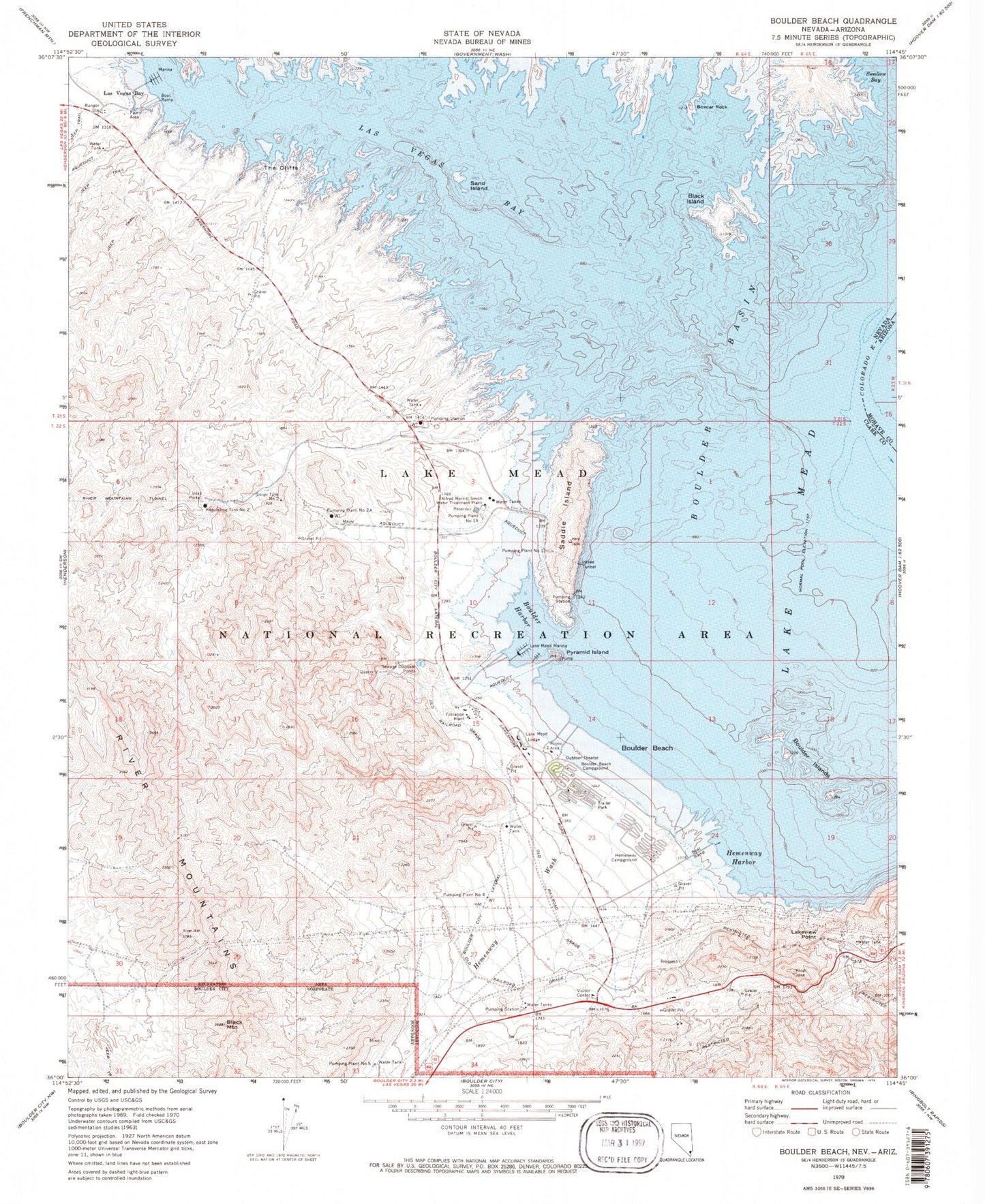
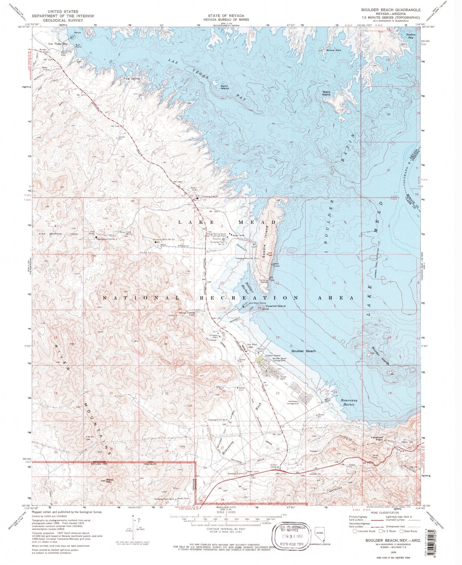
Classic USGS Boulder Beach Nevada 7.5'x7.5' Topo Map
Couldn't load pickup availability
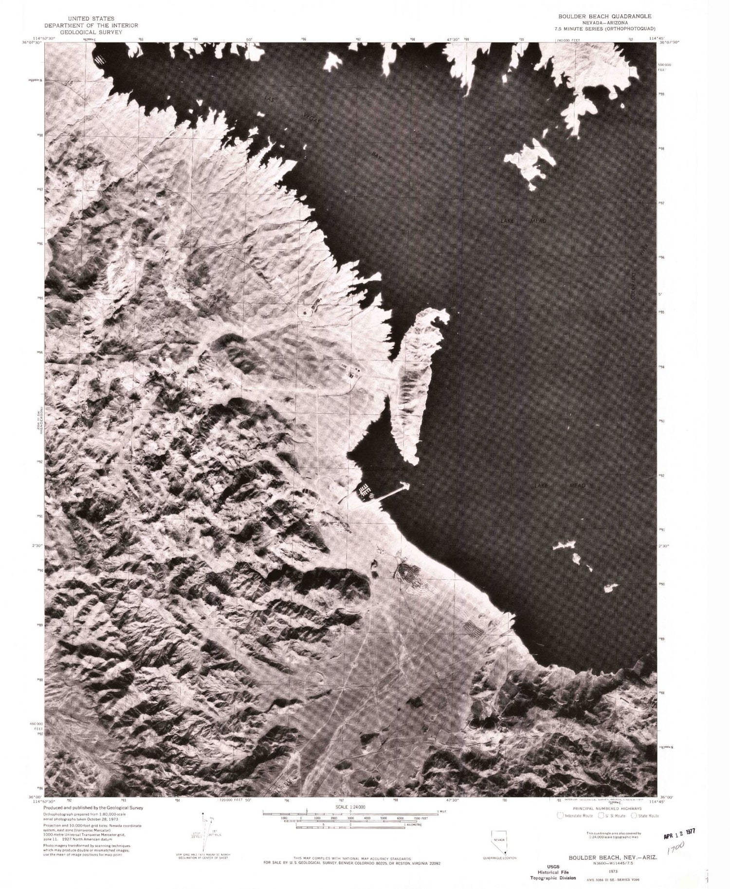
Historical USGS topographic quad map of Boulder Beach in the state of Nevada. Typical map scale is 1:24,000, but may vary for certain years, if available. Print size: 24" x 27"
This quadrangle is in the following counties: Clark, Mohave.
The map contains contour lines, roads, rivers, towns, and lakes. Printed on high-quality waterproof paper with UV fade-resistant inks, and shipped rolled.
Contains the following named places: Alfred Merritt Smith Water Treatment Plant, Black Island, Black Mountain, Boulder Beach, Boulder Beach Campground, Boulder City Lateral, Boxcar Rock, Hemenway Campground, Hemenway Harbor, Lake Mead Lodge, Lake Mead Marina, Lakeview Point, Las Vegas Bay, Las Vegas Bay, Pumping Plant Number One, Pumping Plant Number 1a, Pumping Plant Number 2a, Pumping Plant Number 5, Pyramid Island, Regulating Tank Number Two, Saddle Island, Sand Island, Swallow Bay, The Cliffs, Hemenway Wash, Hart Siding (historical), Crowe (historical), Shea (historical), Junction City (historical), Gravel Plant (historical), Alan Bible Visitor Center, Boulder Canyon Project, Boulder Canyon Project Federal Reservation, Boulder Harbor, River Mountains, Lawler (historical), Fredellen, Surge Tank Number Two, McClanahan Mining District, Saddle Cove, Moon Cove, Special Events Beach, South Beach, Swim Beach, North Beach, Little Boulder Island, Middle Boulder Island, Deadmans Island (historical), Horsepower Cove, Roadrunner Cove, Salamander Cove, Boxcar Cove, Upper Gypsum Wash Cove, Hatchery Cove, Pitch Fork Cove, Crescent Island, Pumphouse Cove, The Pillars, Boulder Basin, Boulder Islands, Big Boulder Island, Rock Island