MyTopo
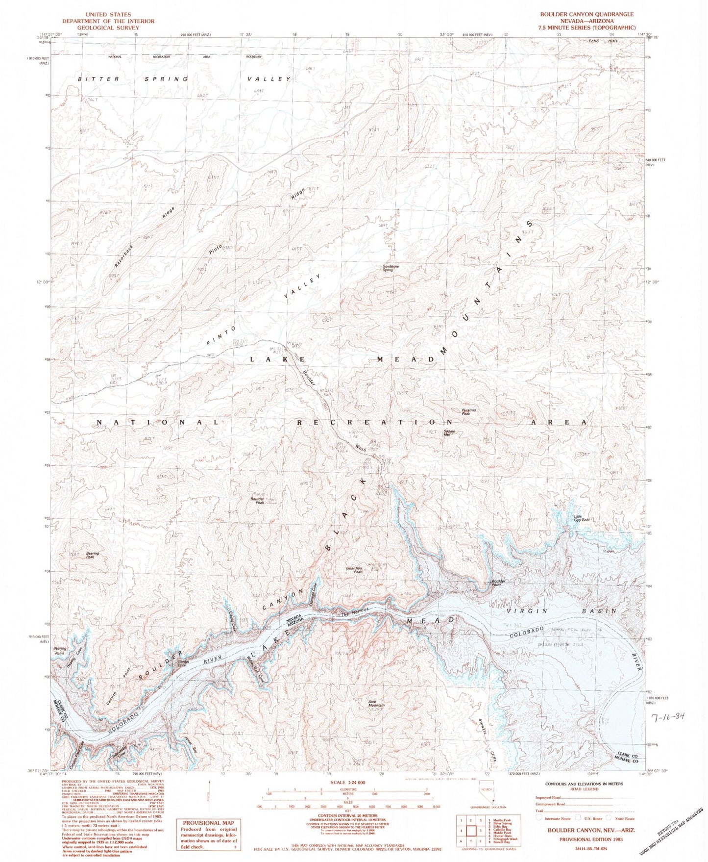
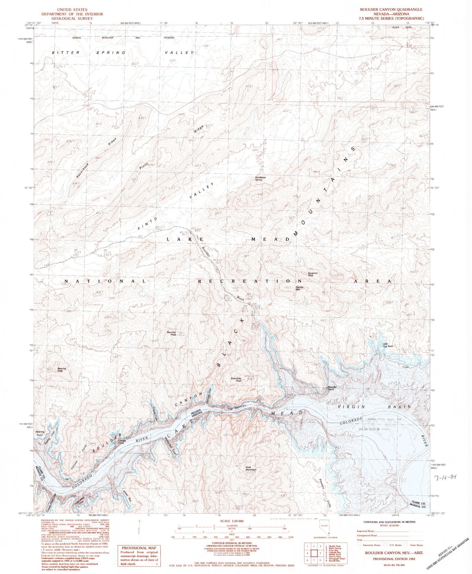
Classic USGS Boulder Canyon Nevada 7.5'x7.5' Topo Map
Couldn't load pickup availability
Historical USGS topographic quad map of Boulder Canyon in the states of Nevada, Arizona. Map scale may vary for some years, but is generally around 1:24,000. Print size is approximately 24" x 27"
This quadrangle is in the following counties: Clark, Mohave.
The map contains contour lines, roads, rivers, towns, and lakes. Printed on high-quality waterproof paper with UV fade-resistant inks, and shipped rolled.
Contains the following named places: Arch Mountain, Bearing Cove, Bearing Peak, Bearing Point, Bitter Spring Valley, Boulder Canyon Dam Site, Boulder Peak, Boulder Point, Boulder Rapids, Boulder Wash, Boulder Wash Cove, Canyon Point, Canyon Point Cove, Coyote Cove, East End Light, Flamingo Cove, Gordys Cove, Guardian Peak, Gypsum Beds, James Bay, Little Gyp Beds, Pinto Ridge, Pinto Valley, Pinto Valley Wilderness, Pyramid Peak, Razorback Ridge, Saddle Mountain, Sandstone Spring, Sidewinder Cove, Stewart Cliffs, The Narrows, Wishing Well Cove