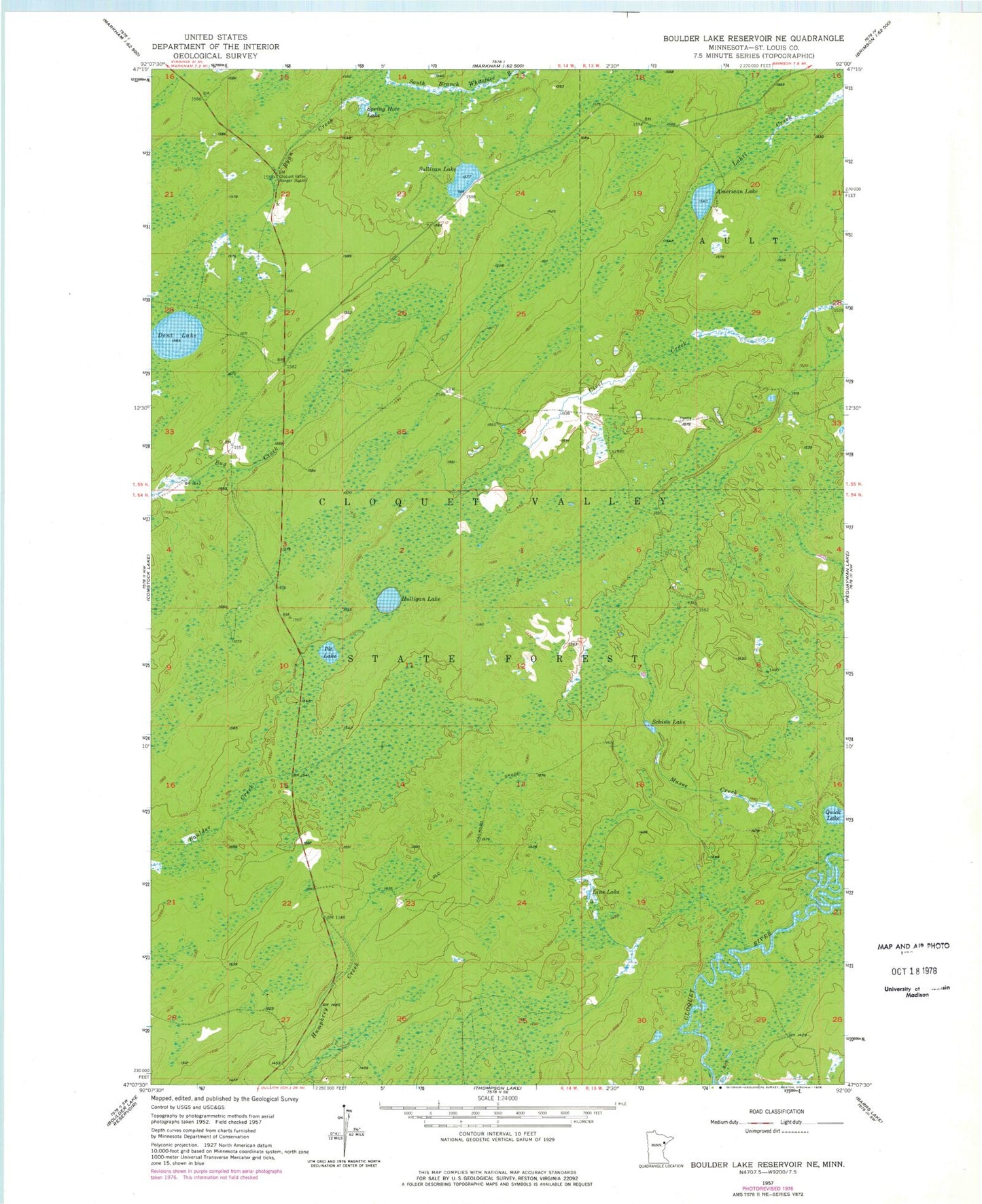
MyTopo
Classic USGS Boulder Lake Reservoir NE Minnesota 7.5'x7.5' Topo Map
Regular price
$16.95
Regular price
Sale price
$16.95
Unit price
per
Couldn't load pickup availability
Historical USGS topographic quad map of Boulder Lake Reservoir NE in the state of Minnesota. Map scale may vary for some years, but is generally around 1:24,000. Print size is approximately 24" x 27"
This quadrangle is in the following counties: St. Louis.
The map contains contour lines, roads, rivers, towns, and lakes. Printed on high-quality waterproof paper with UV fade-resistant inks, and shipped rolled.
Contains the following named places: American Lake, Cloquet Valley Ranger Station, Cloquet Valley State Forest, Dent Lake, Hulligan Lake, Line Lake, Masse Creek, Pit Lake, Quick Lake, Ryan Creek, Schinn Lake, Spring Hole Lake, Sullivan Lake