MyTopo
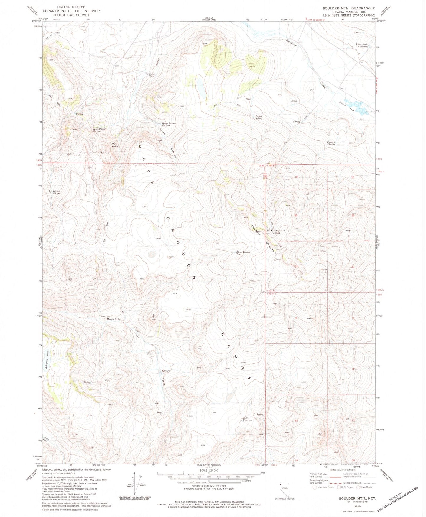
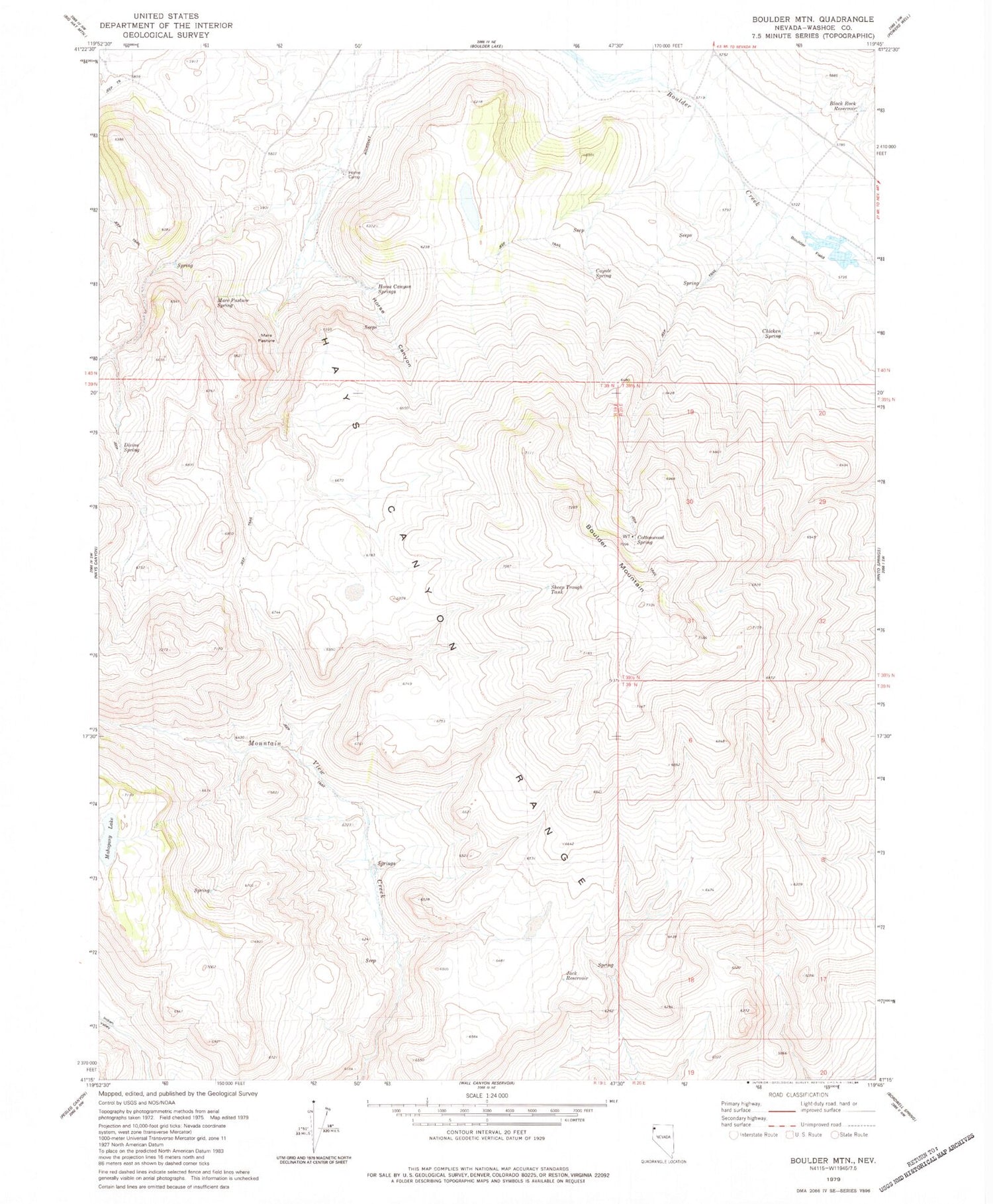
Classic USGS Boulder Mountain Nevada 7.5'x7.5' Topo Map
Couldn't load pickup availability
Historical USGS topographic quad map of Boulder Mountain in the state of Nevada. Map scale may vary for some years, but is generally around 1:24,000. Print size is approximately 24" x 27"
This quadrangle is in the following counties: Washoe.
The map contains contour lines, roads, rivers, towns, and lakes. Printed on high-quality waterproof paper with UV fade-resistant inks, and shipped rolled.
Contains the following named places: Black Rock Reservoir, Boulder Field, Boulder Mountain, Chicken Spring, Cottonwood Spring, Coyote Spring, Divine Spring, Home Camp, Home Camp Range, Horse Canyon, Horse Canyon Springs, Jack Reservoir, Lower Meadow, Mahogany Lake, Mare Pasture, Mare Pasture Spring, Mountain View Corral, Mud Spring, Sheep Trough Tank, Upper Meadow, Willow Spring