MyTopo
Classic USGS Boulder Peak California 7.5'x7.5' Topo Map
Couldn't load pickup availability
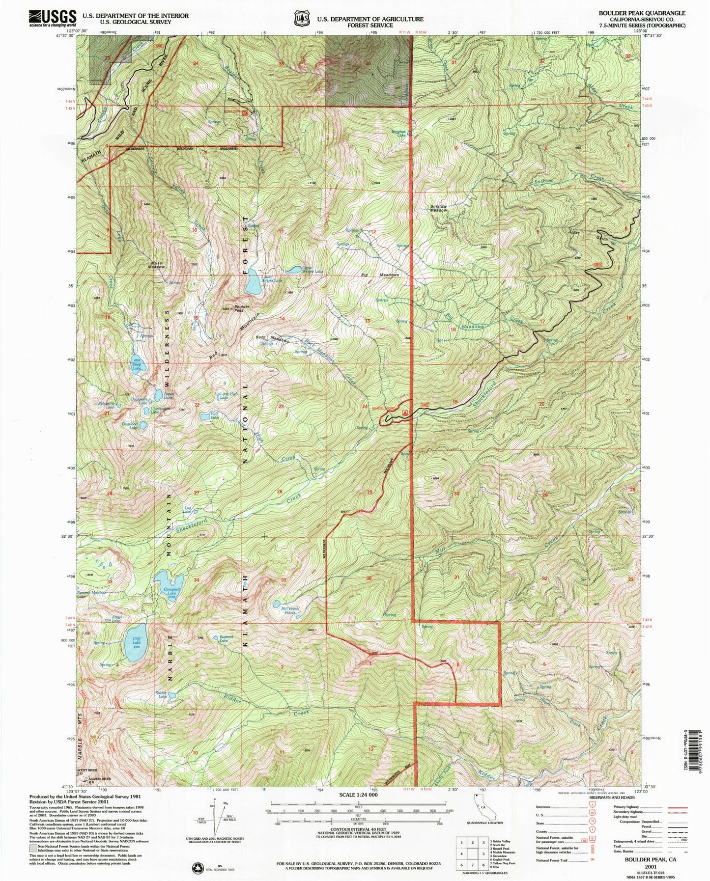
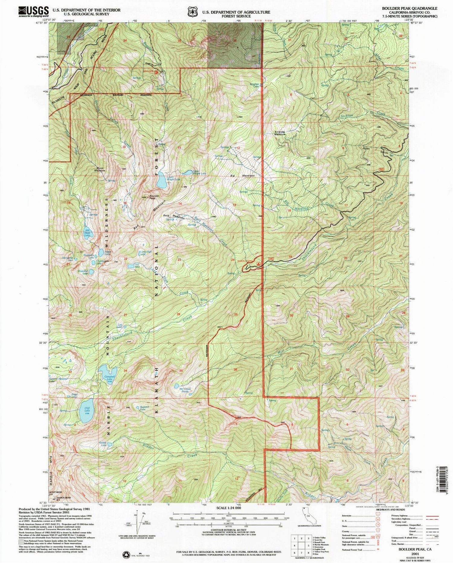
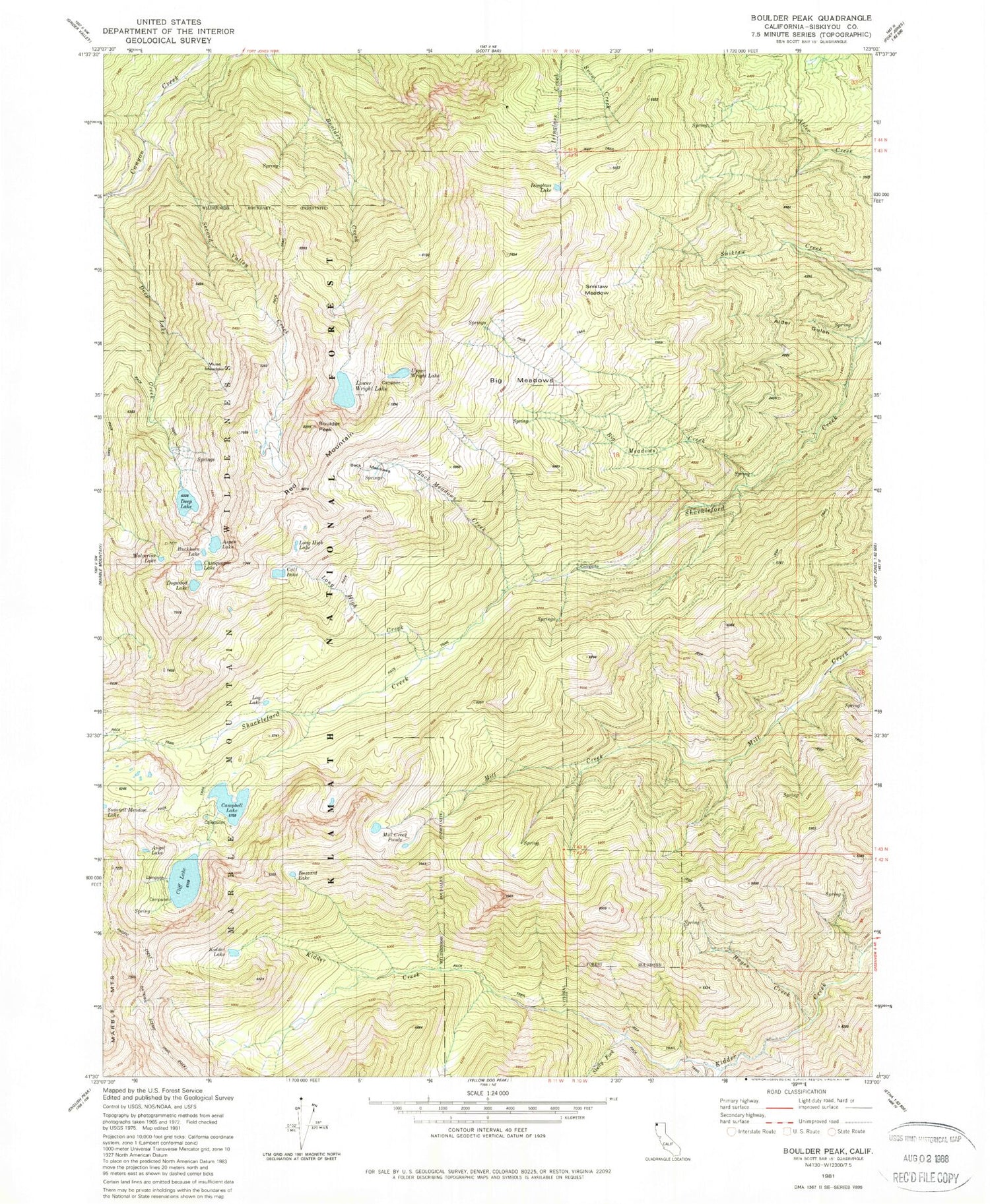
Historical USGS topographic quad map of Boulder Peak in the state of California. Typical map scale is 1:24,000, but may vary for certain years, if available. Print size: 24" x 27"
This quadrangle is in the following counties: Siskiyou.
The map contains contour lines, roads, rivers, towns, and lakes. Printed on high-quality waterproof paper with UV fade-resistant inks, and shipped rolled.
Contains the following named places: Alder Gulch, Angel Lake, Aspen Lake, Babs Fork, Big Meadows, Big Meadows Creek, Back Meadows, Back Meadows Creek, Boulder Peak, Buckhorn Lake, Buzzard Lake, Calf Lake, Campbell Lake, Chinquapin Lake, Cliff Lake, Deep Lake, Dogwood Lake, Glendenning Fork, Hayes Creek, Isinglass Lake, Kidder Lake, Log Lake, Long High Creek, Long High Lake, Lower Wright Lake, Mill Creek Ponds, Muse Meadow, Second Valley Creek, Shelly Fork, Marble Mountains, Sniktaw Meadow, Upper Wright Lake, Wolverine Lake, Red Mountain, Campbell Lake 180 Dam


