MyTopo
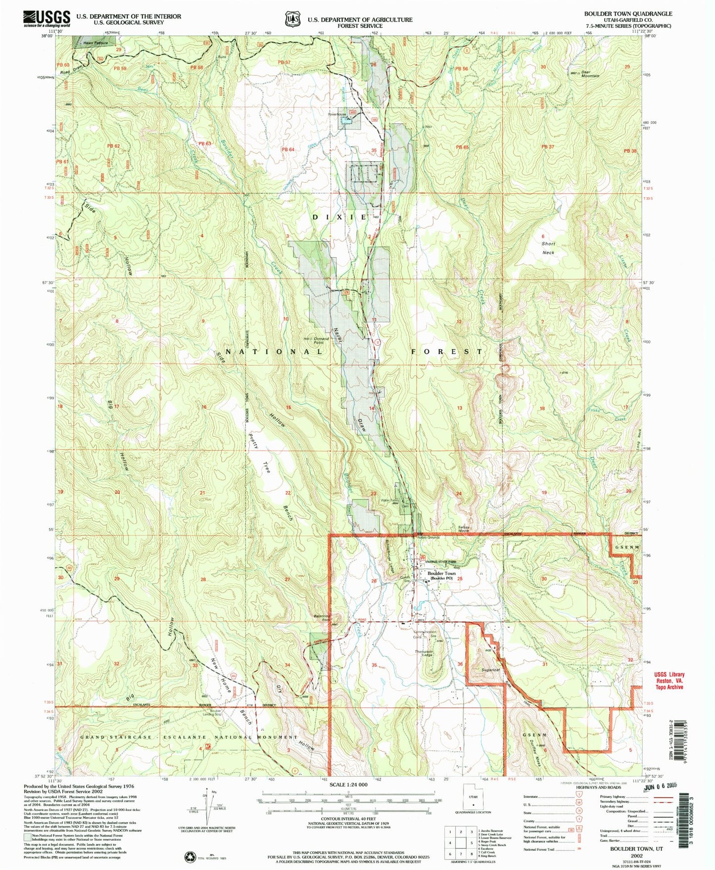
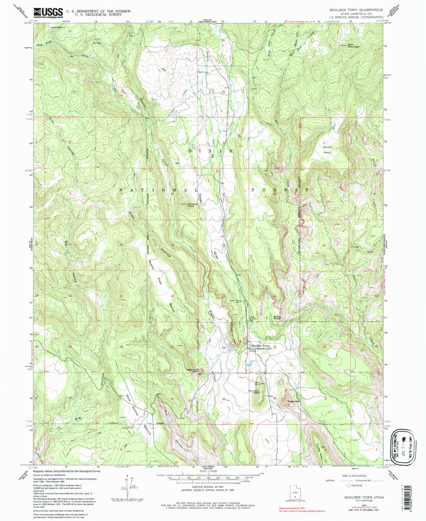
Classic USGS Boulder Town Utah 7.5'x7.5' Topo Map
Couldn't load pickup availability
Historical USGS topographic quad map of Boulder Town in the state of Utah. Map scale may vary for some years, but is generally around 1:24,000. Print size is approximately 24" x 27"
This quadrangle is in the following counties: Garfield.
The map contains contour lines, roads, rivers, towns, and lakes. Printed on high-quality waterproof paper with UV fade-resistant inks, and shipped rolled.
Contains the following named places: Anasazi State Park, Baker Wash, Balancing Rock, Bear Creek, Big Hollow, Boulder Cemetery, Boulder Elementary School, Boulder Post Office, Boulder Town, Boulder Volunteer Fire Department, Deer Mountain, East Deer Creek, Frisky Creek, Garfield County Ambulance, Garkane Hydroelectric Plant, Haws Pasture, Lizzie Creek, Middle Deer Creek, Nazer Draw, Ormand Point, Pretty Tree Bench, Road Draw, Road Draw Creek, Sadies Nipple, Schoolhouse Ledge, Short Neck, Side Hollow, Sugarloaf, Tailrace Canal, The Church of Jesus Christ of Latter Day Saints, Thompson Ledge, Town of Boulder, West Deer Creek, ZIP Code: 84716