MyTopo
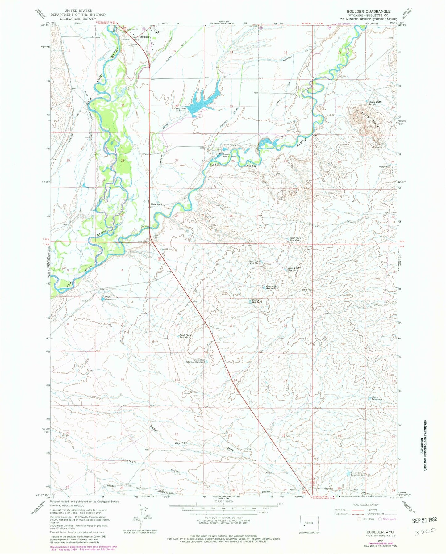
Classic USGS Boulder Wyoming 7.5'x7.5' Topo Map
Couldn't load pickup availability
Historical USGS topographic quad map of Boulder in the state of Wyoming. Map scale may vary for some years, but is generally around 1:24,000. Print size is approximately 24" x 27"
This quadrangle is in the following counties: Sublette.
The map contains contour lines, roads, rivers, towns, and lakes. Printed on high-quality waterproof paper with UV fade-resistant inks, and shipped rolled.
Contains the following named places: Bailey Reservoir Number 2, Ball Ditch, Boulder, Boulder Census Designated Place, Boulder Creek, Boulder Fire Battalion, Boulder Fish Hatchery, Boulder Post Office, Chalk Butte, Chalk Butte Spring, East Fork Reservoir Number 1, East Fork Reservoir Number 3, East Fork Reservoir Number 4, East Fork Reservoir Number 5, East Fork Reservoir Number 6, East Fork River, Green River Retention Dam Number 5, Green River Retention Dam Number 6, Last Chance Ditch, Naylor Ditch, New Fork, Stark Reservoir, Vible Cemetery, Vible Reservoir, Ward Ball Dam, Ward Ball Reservoir