MyTopo
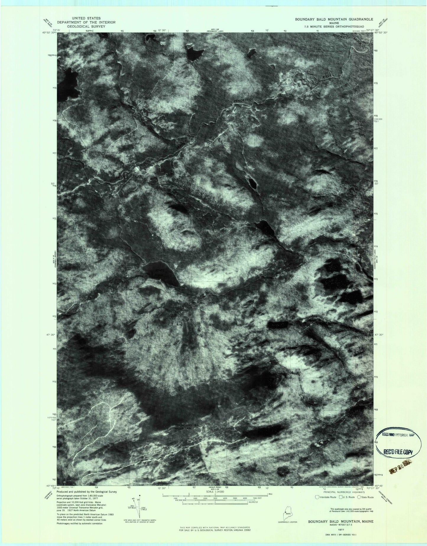
Classic USGS Boundary Bald Mountain Maine 7.5'x7.5' Topo Map
Regular price
$16.95
Regular price
Sale price
$16.95
Unit price
per
Couldn't load pickup availability
Historical USGS topographic quad map of Boundary Bald Mountain in the state of Maine. Typical map scale is 1:24,000, but may vary for certain years, if available. Print size: 24" x 27"
This quadrangle is in the following counties: Somerset.
The map contains contour lines, roads, rivers, towns, and lakes. Printed on high-quality waterproof paper with UV fade-resistant inks, and shipped rolled.
Contains the following named places: Bald Mountain Trail, Boundary Bald Mountain, Dority Pond, Duncan Pond, Hale Pond, Hutch Pond, Jones Pond, Little Fish Pond, Penobscot Brook, Trickey Bluffs, Wounded Deer Pond, Township of Bald Mountain, Bald Mountain Township T4 R3