
MyTopo
Classic USGS Boundary Peak Nevada 7.5'x7.5' Topo Map
Regular price
$16.95
Regular price
Sale price
$16.95
Unit price
per
Couldn't load pickup availability
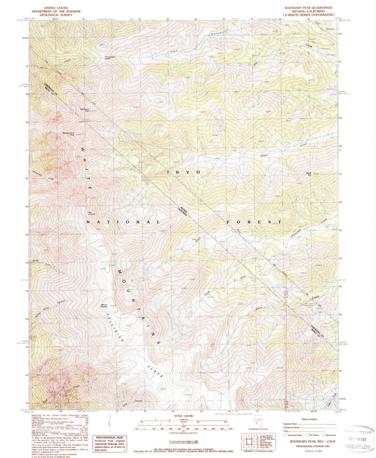
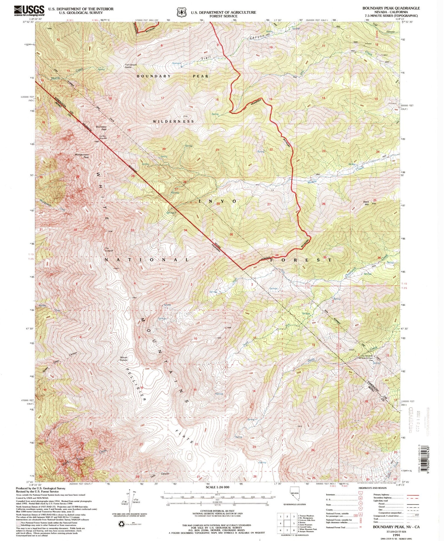
Historical USGS topographic quad map of Boundary Peak in the states of Nevada, California. Typical map scale is 1:24,000, but may vary for certain years, if available. Print size: 24" x 27"
This quadrangle is in the following counties: Esmeralda, Mono.
The map contains contour lines, roads, rivers, towns, and lakes. Printed on high-quality waterproof paper with UV fade-resistant inks, and shipped rolled.
Contains the following named places: North Fork Chiatovich Creek, Black Mountain, South Fork Chiatovich Creek, Trail Canyon Saddle, Sundown Mine, Container Mine, Boundary Peak, Boundary Peak Wilderness, Boundary Peak Trailhead, Mount Dubois, Montgomery Peak, Pellisier Flats, The Jumpoff