MyTopo
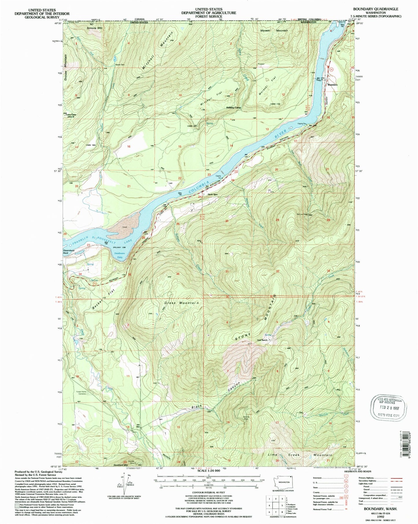
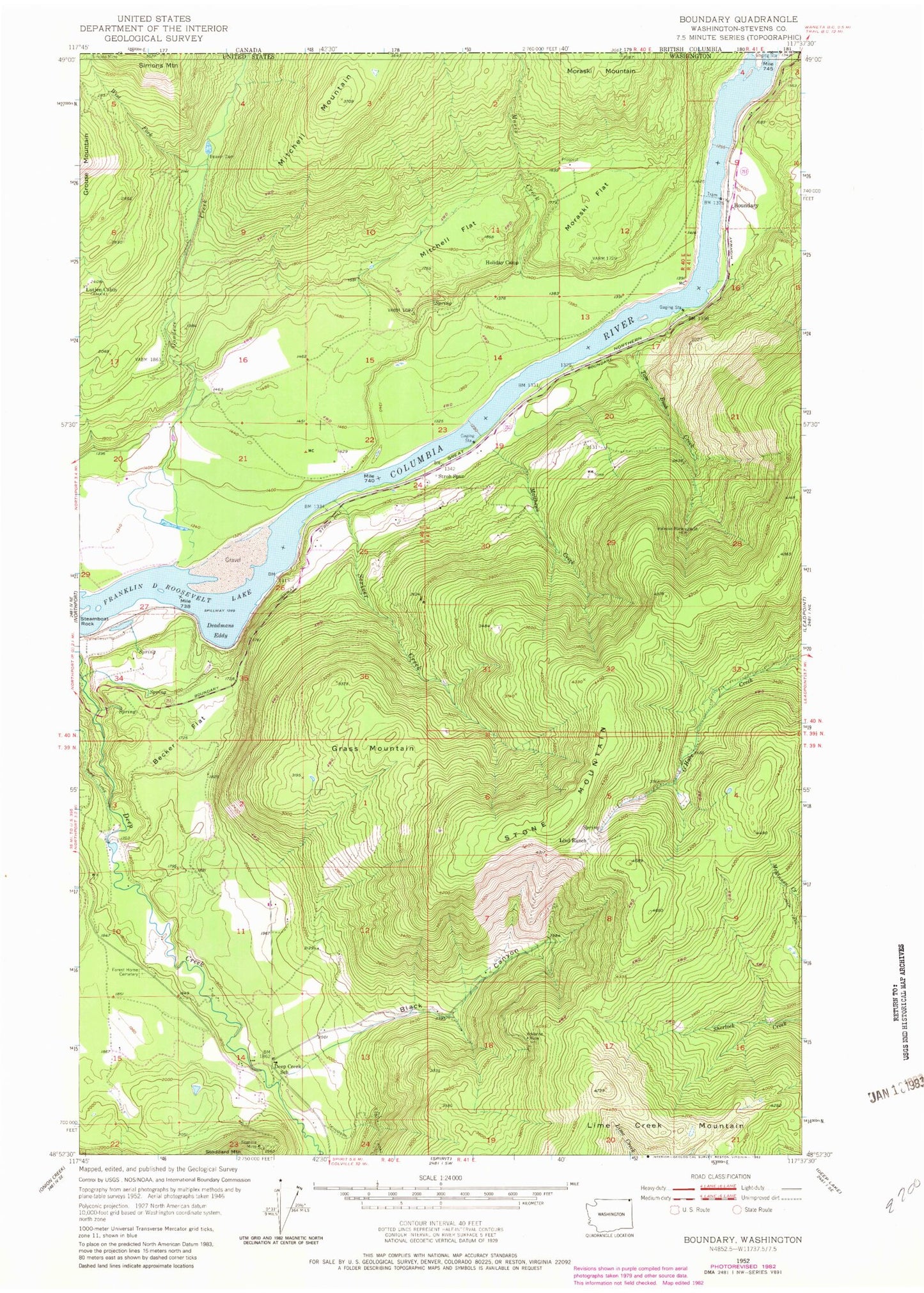
Classic USGS Boundary Washington 7.5'x7.5' Topo Map
Couldn't load pickup availability
Historical USGS topographic quad map of Boundary in the state of Washington. Map scale may vary for some years, but is generally around 1:24,000. Print size is approximately 24" x 27"
This quadrangle is in the following counties: Stevens.
The map contains contour lines, roads, rivers, towns, and lakes. Printed on high-quality waterproof paper with UV fade-resistant inks, and shipped rolled.
Contains the following named places: Advance Mine, Becker Flat, Black Canyon, Boundary, Deadmans Eddy, Deep Creek School, Forest Home Cemetery, Goodeve Creek, Grass Mountain, Holiday Camp, Lime Creek Mountain, Lind Ranch, Lutjen Cabin, Matthews Creek, Melrose Mine, Mitchell Flat, Mitchell Mountain, Moraski Flat, Moris Creek, North Fork Goodeve Creek, Ruby Dam, Schmidt Ranch Airport, Scriver Creek, Stone Mountain, Stroh Spur, Tom Bush Creek, West Fork Goodeve Creek


