
MyTopo
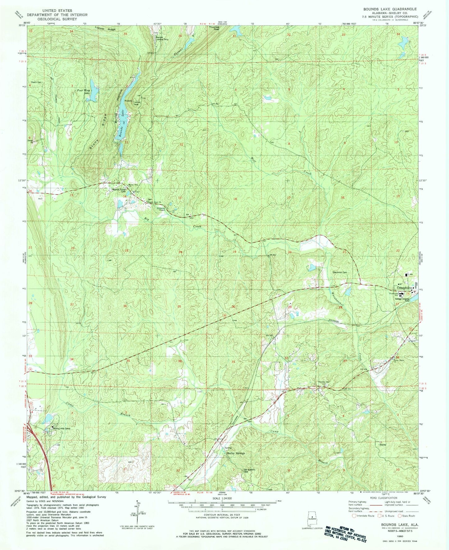
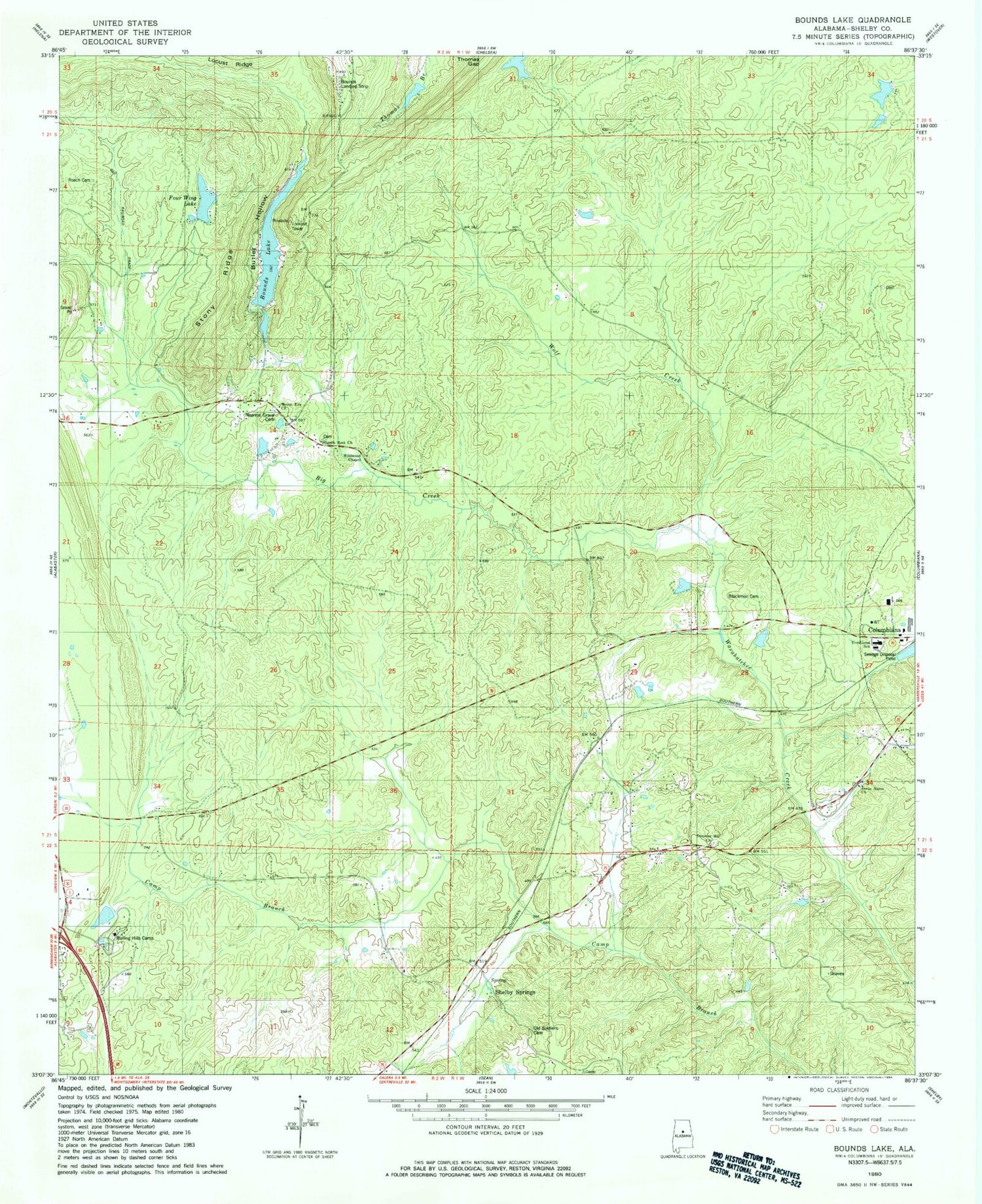
Classic USGS Bounds Lake Alabama 7.5'x7.5' Topo Map
Couldn't load pickup availability
Historical USGS topographic quad map of Bounds Lake in the state of Alabama. Map scale may vary for some years, but is generally around 1:24,000. Print size is approximately 24" x 27"
This quadrangle is in the following counties: Shelby.
The map contains contour lines, roads, rivers, towns, and lakes. Printed on high-quality waterproof paper with UV fade-resistant inks, and shipped rolled.
Contains the following named places: Apostolic Truth Center Church, Big Creek, Blackmon Cemetery, Bounds Lake, Bowden Dam, Bowden Lake, Butler Hollow, City of Calera, Dargin Community Center, Davis School, Four Wing Lake, Four Wing Lake Dam, Green Valley Group Dam, Green Valley Lake, Jesus Name Church, Joinertown, Kimberly-Clark Dam, Kimberly-Clark Lake, Mount Era Methodist Church, Nazarene Church Camp Lake Dam, Nazarene Church Lake, Nearest Grave Cemetery, Old Lynch Cemetery, Pilgrim Rest Church, Pilgrims Rest Church, Pinnacle Lookout Tower, Pumpkin Swamp Road Lake, Pumpkin Swamp Road Lake Dam, Roach Cemetery, Rocky Ridge Cemetery, Rolling Hills Camp, Shelby County Area Vocational Center, Shelby County Sheriff's Office, Shelby County Sheriffs Office - Training Center, Shelby Springs, Shelby Springs Confederate Cemetery, Stony Ridge, Summer Hill Church, Summer Hill School, Summer Hill Volunteer Fire Department, White Lake, White Lake Dam, Wildwood Chapel, Wolf Creek, Woodmere Number One Lake, Woodmere Number Two Dam, Woodmere Number Two Lake