
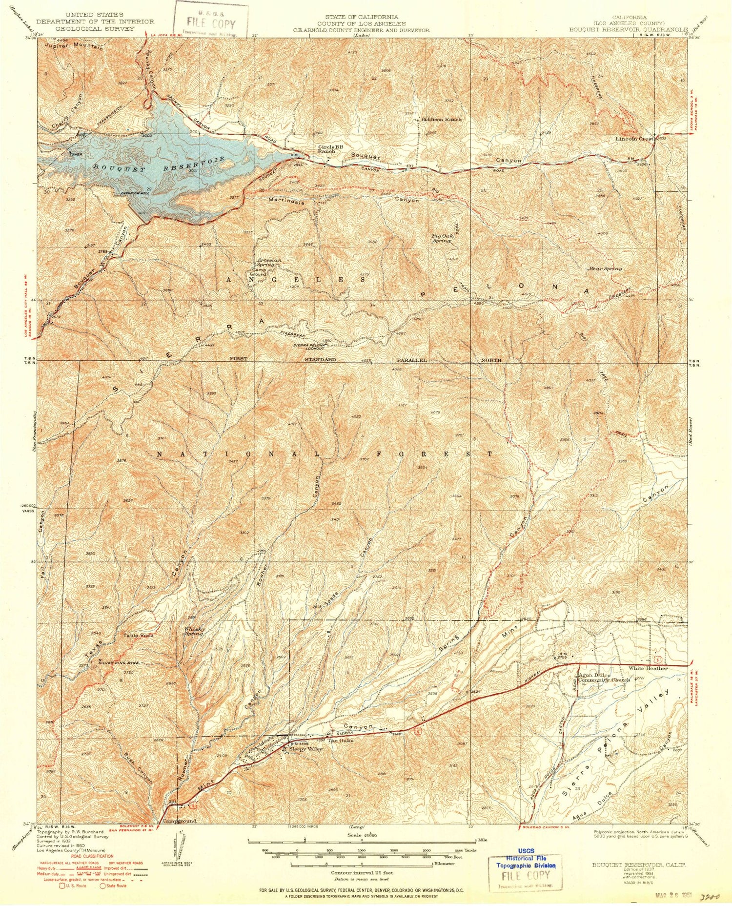
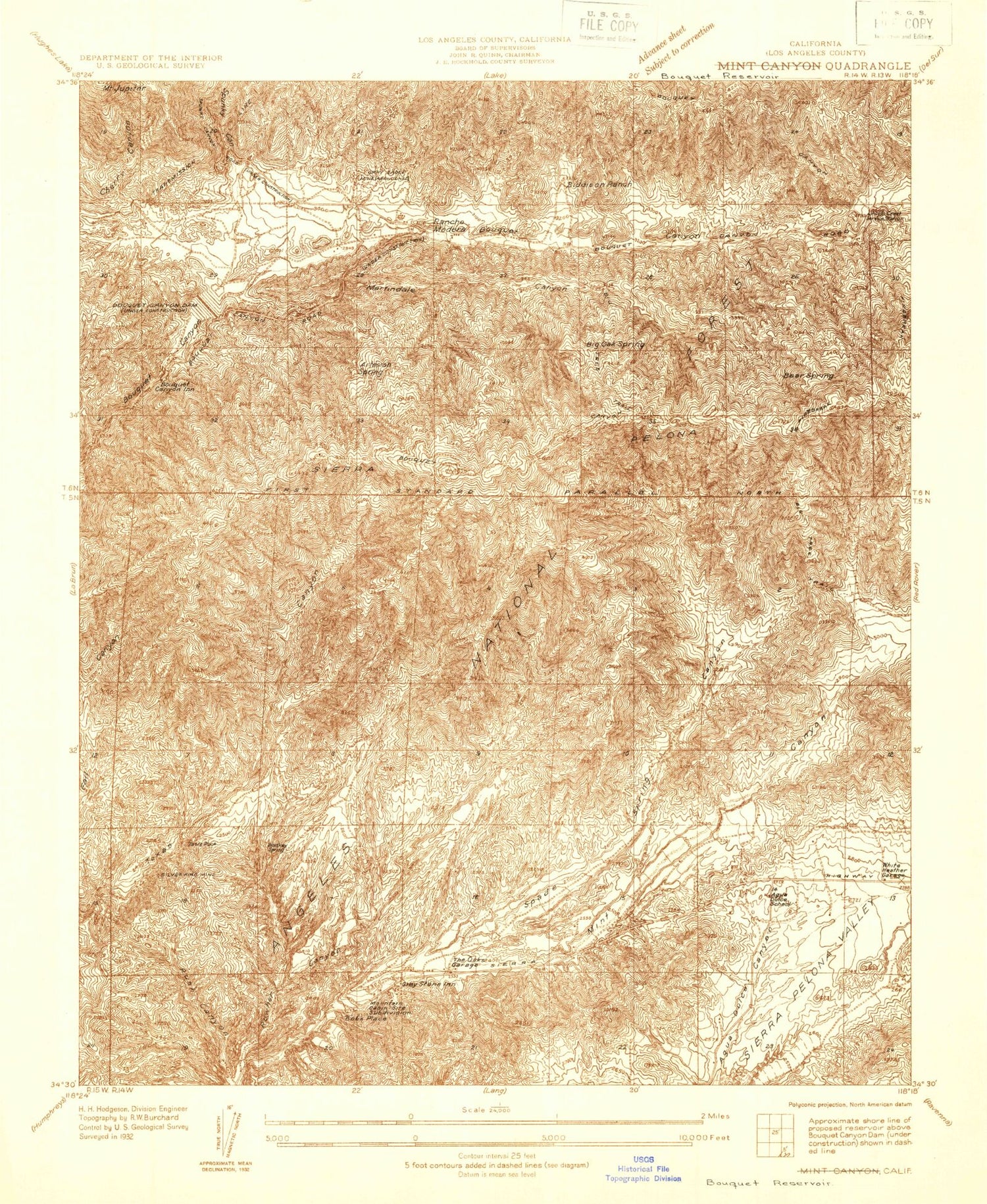
MyTopo
Classic USGS Bouquet Reservoir California 7.5'x7.5' Topo Map
Couldn't load pickup availability
Historical USGS topographic quad map of Bouquet Reservoir in the state of California. Map scale is 1:24000. Print size is approximately 24" x 27"
This quadrangle is in the following counties: Los Angeles.
The map contains contour lines, roads, rivers, towns, and lakes. Printed on high-quality waterproof paper with UV fade-resistant inks, and shipped rolled.
Contains the following named places: Agua Dulce Airport, Agua Dulce Census Designated Place, Agua Dulce School (historical), Artesian Spring, Artesian Spring Campgrounds, Bear Spring, Big Oak Spring, Bouquet Canyon 6-031 Dam, Bouquet Canyon Dam, Bouquet Reservoir, Gray Eagle Mine, Jupiter Mountain, Lincoln Crest, Los Robles Ranch, Martindale Canyon, Mint Canyon Campground, Pelona Lookout, R and H Trail, Rowher Canyon, Silver King Mine, Sleepy Valley, Spade Canyon, Spade Spring Canyon, Spunky Canyon, Table Rock, The Oaks, Two Shay Ranch, Whisky Spring, White Heather, Willow Spring


