MyTopo
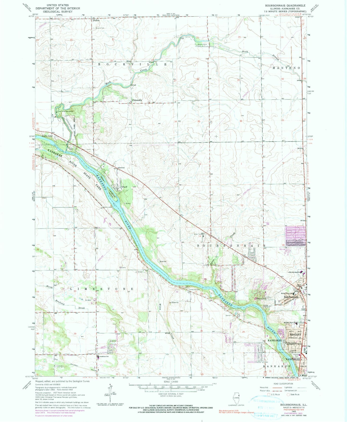
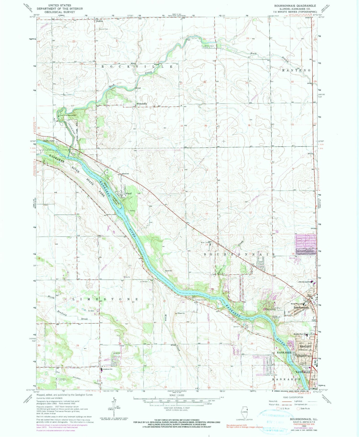
Classic USGS Bourbonnais Illinois 7.5'x7.5' Topo Map
Couldn't load pickup availability
Historical USGS topographic quad map of Bourbonnais in the state of Illinois. Map scale is 1:24000. Print size is approximately 24" x 27"
This quadrangle is in the following counties: Kankakee.
The map contains contour lines, roads, rivers, towns, and lakes. Printed on high-quality waterproof paper with UV fade-resistant inks, and shipped rolled.
Contains the following named places: Alan B Shepard Elementary School, Altorf, Altorf School, Bloom School (historical), Blooms Grove Cemetery, Bon Vivant Country Club, Bourbonnais, Bourbonnais Geological Area Nature Preserve, Bourbonnais Post Office, Bourbonnais Village Police Department, Bourbonnaise Towne Centre Shopping Center, Bradley West Elementary School, Burnham School (historical), Butz School (historical), Calvary Bible Church, Camp Shaw-Waw-Nassee, Davis Creek, Deselm, DeSelm Cemetery, Eggleston School (historical), Flickerville, Flickerville School (historical), Forman School (historical), Gettysburg Park, Helgesen Park, Kankakee River Nature Preserve, Karlock Airport (historical), Langham Island, LaVasseur Park, Lawrence School (historical), Limestone, Limestone Cemetery, Limestone Elementary School, Limestone Park, Mann School (historical), Mapes School (historical), Maternity Blessed Virgin Mary Cemetery, Maternity Blessed Virgin Mary Church, Maternity Blessed Virgin Mary School, Noel LaVasseur Elementary School, Rathmann School (historical), Riverside Ambulance, Robert Frost Elementary School, Rock Creek, Rockville, Saint Mary's Ambulance Service, Shabbona Elementary School, Shreffler School (historical), Smith Cemetery, South Branch Rock Creek, Taylor School (historical), Township of Limestone, Township of Rockville, Village of Bourbonnais, West Marycrest Shopping Center, Wiley Creek, Willow Island


