MyTopo
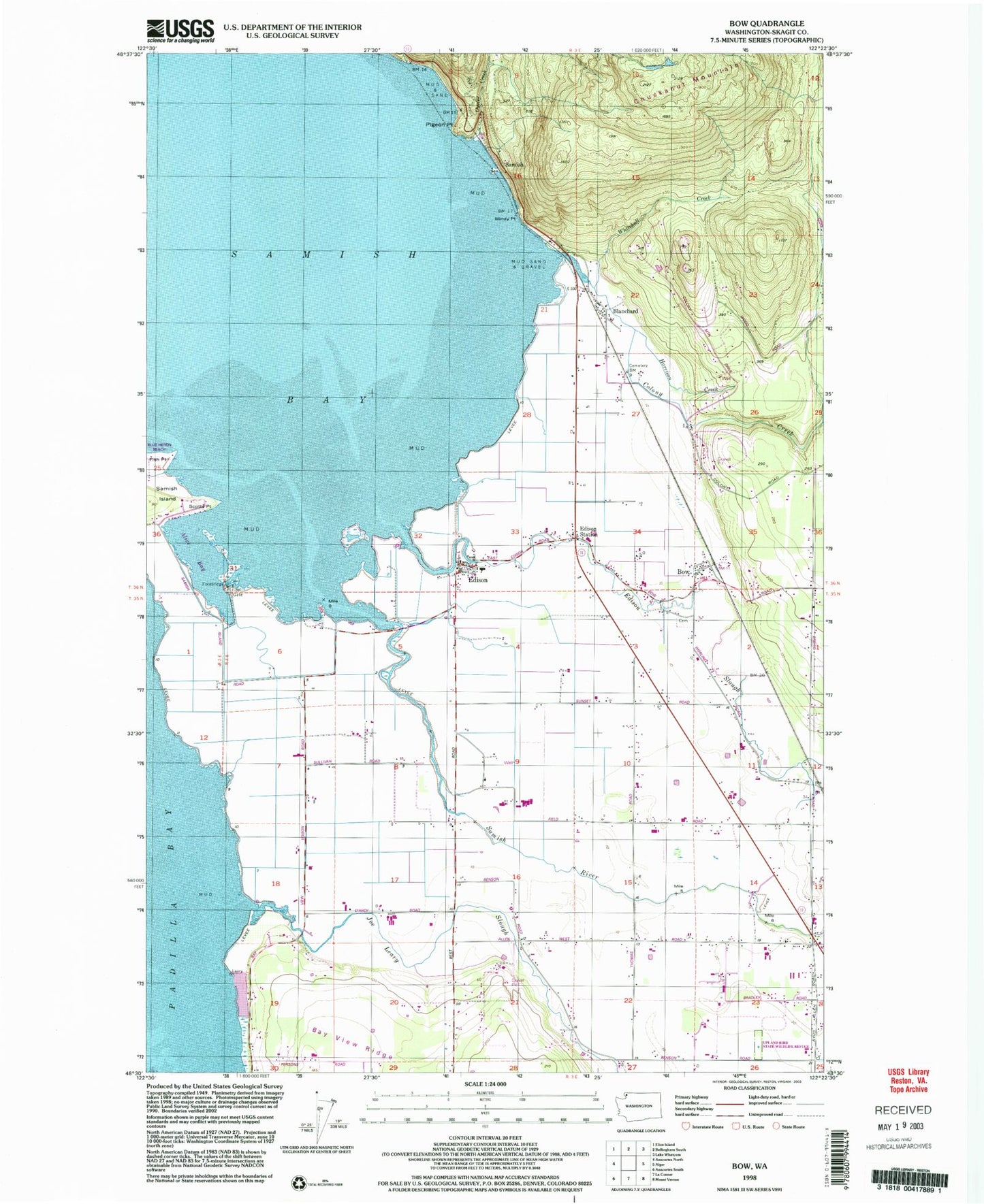
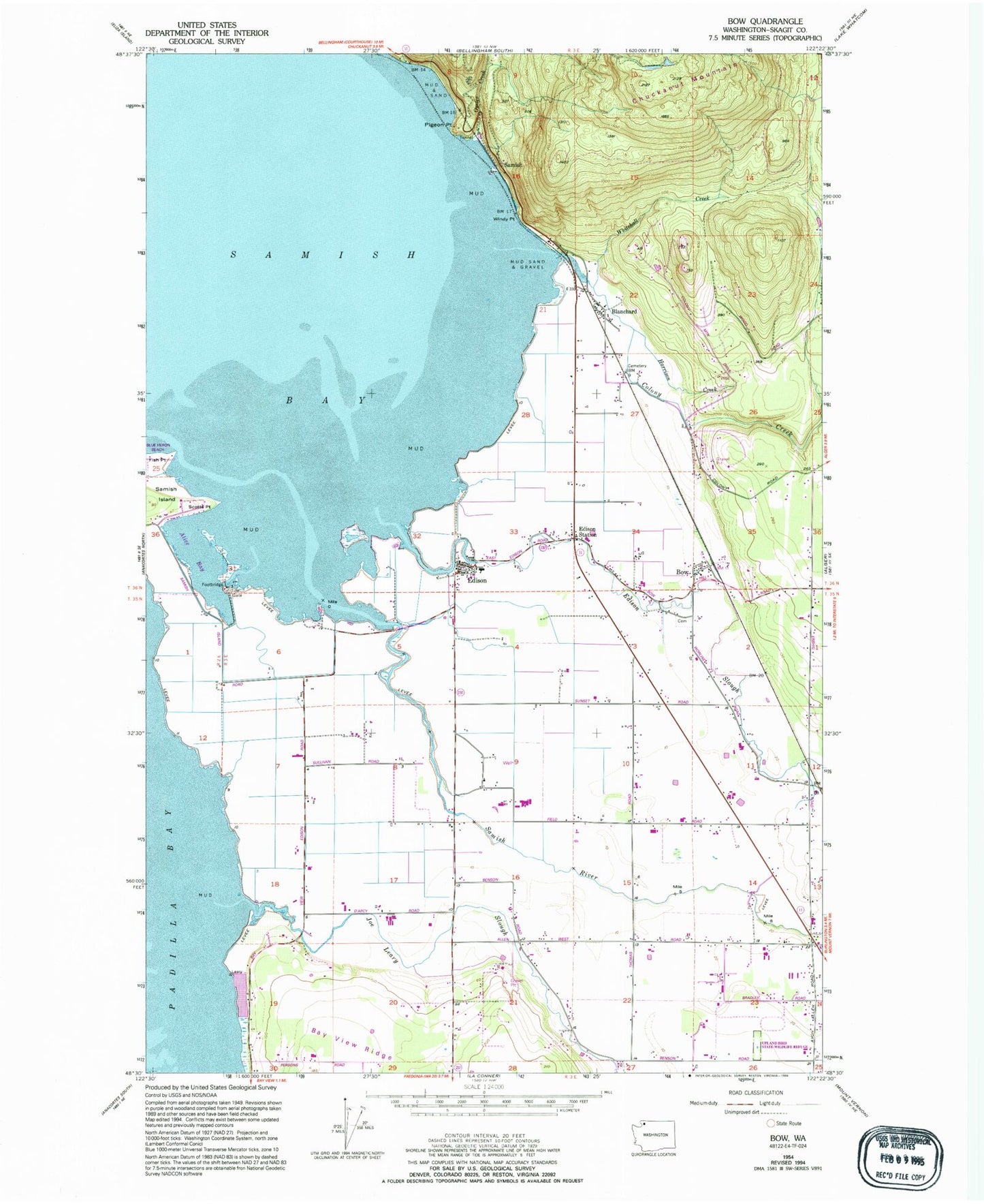
Classic USGS Bow Washington 7.5'x7.5' Topo Map
Couldn't load pickup availability
Historical USGS topographic quad map of Bow in the state of Washington. Map scale is 1:24000. Print size is approximately 24" x 27"
This quadrangle is in the following counties: Skagit.
The map contains contour lines, roads, rivers, towns, and lakes. Printed on high-quality waterproof paper with UV fade-resistant inks, and shipped rolled.
Contains the following named places: Allen, Allen United Methodist Church, Anderson Blueberry Farm, Bay View Ridge, Bayview Farms, Bayview Farms Airport, Blanchard, Bow, Bow Cemetery, Bow Census Designated Place, Bow Division, Bow Post Office, Colony Creek, Community of Christ Church, Dutch Boy Dairy, Edison, Edison Census Designated Place, Edison Elementary School, Edison Lutheran Church, Edison Slough, Edison Station, Equality, Fish Point, Golden Glen Creamery, Harrison Creek, Inman Landfill, Joe Leary Slough, Leary, Oyster Creek, Peterson Quarry, Pierson School, Pigeon Point, Samish (historical), Samish Bay, Samish River, Scotts Point, Siwash Slough, Skagit County Fire District 5 Allen, Skagit County Fire District 5 Edison Station, Sunset, Upland State Game Bird Habitat, Well Fed Farms, Whitehall Creek, Windmill Farms, Windy Point


