MyTopo
Classic USGS Bowden Waterhole Oregon 7.5'x7.5' Topo Map
Regular price
$16.95
Regular price
Sale price
$16.95
Unit price
per
Couldn't load pickup availability
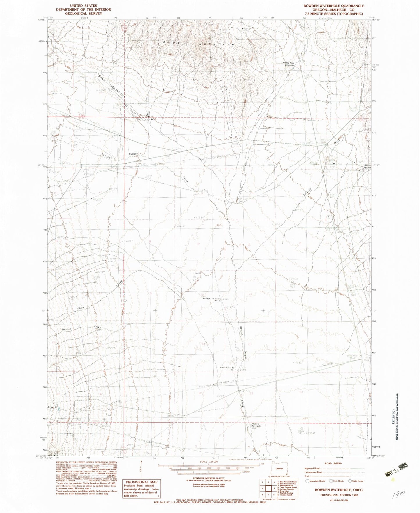
Historical USGS topographic quad map of Bowden Waterhole in the state of Oregon. Map scale may vary for some years, but is generally around 1:24,000. Print size is approximately 24" x 27"
This quadrangle is in the following counties: Malheur.
The map contains contour lines, roads, rivers, towns, and lakes. Printed on high-quality waterproof paper with UV fade-resistant inks, and shipped rolled.
Contains the following named places: Blue Mountain Draw, Bowden Waterhole, Burro Spring, Fish Creek, Jaca Creek, McDermitt Well Number 1, McDermitt Well Number 2, Ninety Five Reservoir, Simpson Creek, Tenmile Creek