MyTopo
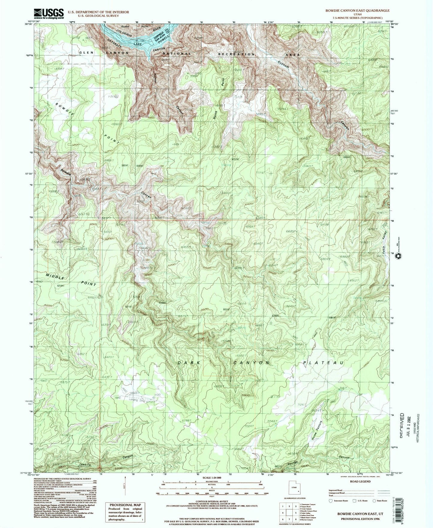
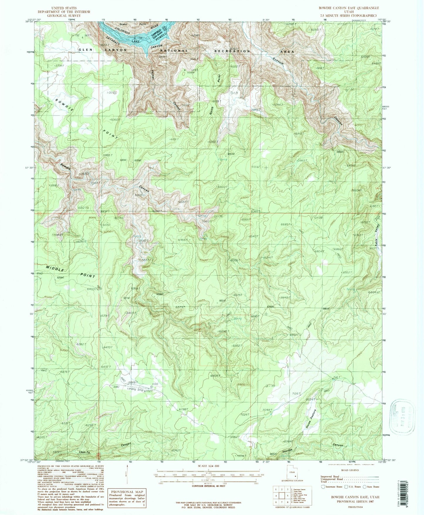
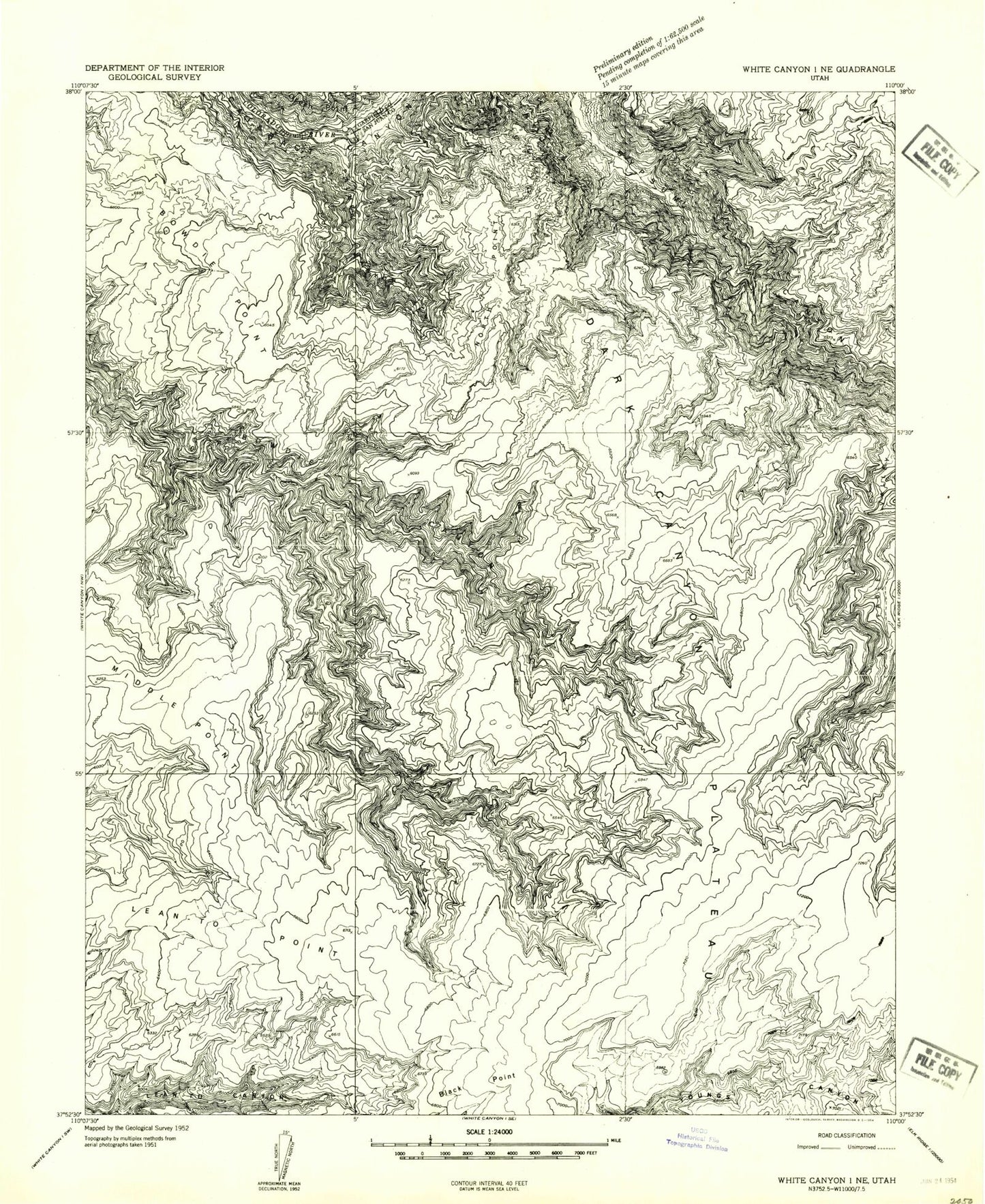
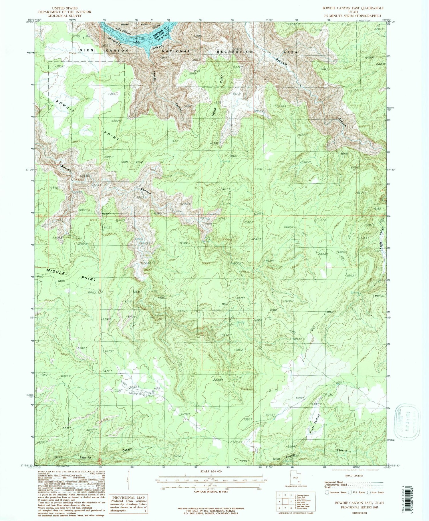
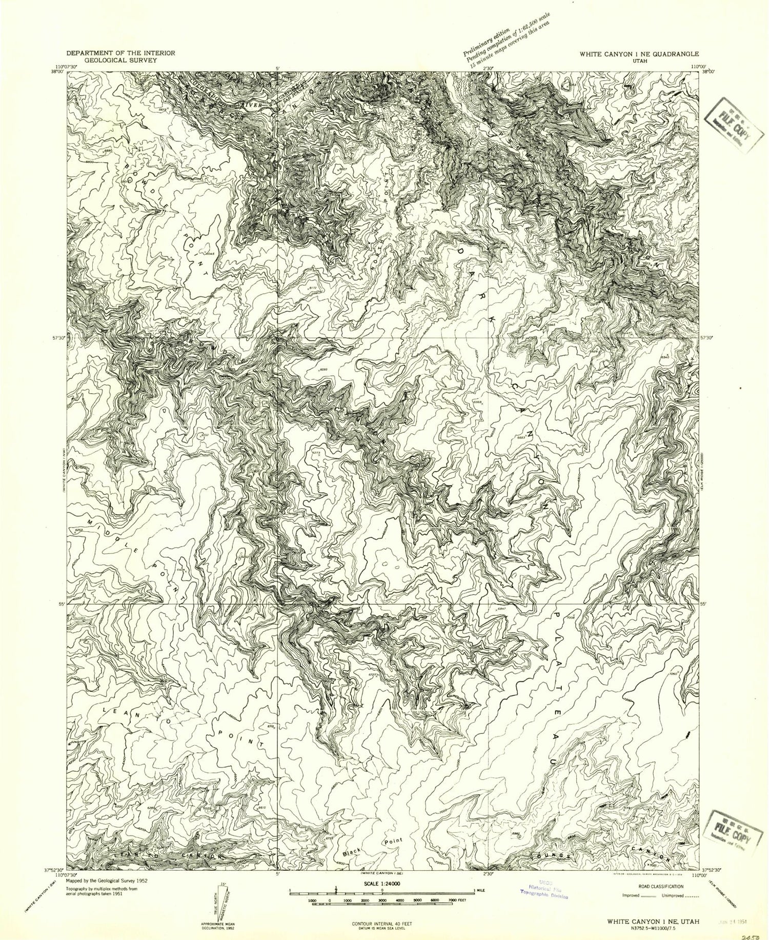
Classic USGS Bowdie Canyon East Utah 7.5'x7.5' Topo Map
Couldn't load pickup availability
Historical USGS topographic quad map of Bowdie Canyon East in the state of Utah. Typical map scale is 1:24,000, but may vary for certain years, if available. Print size: 24" x 27"
This quadrangle is in the following counties: Garfield, San Juan.
The map contains contour lines, roads, rivers, towns, and lakes. Printed on high-quality waterproof paper with UV fade-resistant inks, and shipped rolled.
Contains the following named places: Bowdie Point, Lean-To Point, Middle Point, North Point, Horse Pasture, Palmer Canyon, Dark Canyon Plateau, Dark Canyon Primitive Area, Plateau Region, Bowdie Point, Lean-To Point, Middle Point, North Point, Horse Pasture, Palmer Canyon, Dark Canyon Plateau, Dark Canyon Primitive Area, Plateau Region