
MyTopo
Classic USGS Bowdle-Hosmer Lake South Dakota 7.5'x7.5' Topo Map
Couldn't load pickup availability
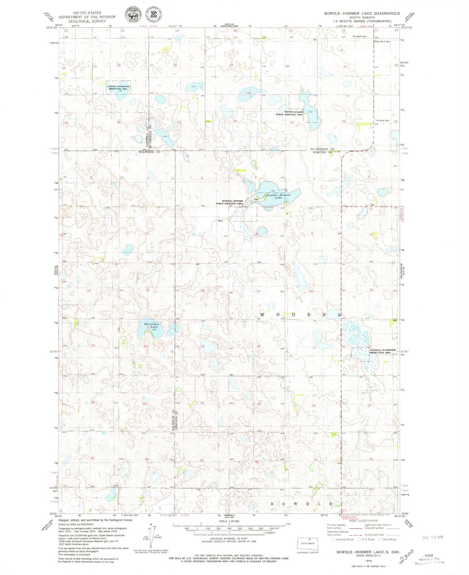
Historical USGS topographic quad map of Bowdle-Hosmer Lake in the state of South Dakota. Map scale may vary for some years, but is generally around 1:24,000. Print size is approximately 24" x 27"
This quadrangle is in the following counties: Campbell, Edmunds, McPherson, Walworth.
The map contains contour lines, roads, rivers, towns, and lakes. Printed on high-quality waterproof paper with UV fade-resistant inks, and shipped rolled.
Contains the following named places: Bethel Number 2 Cemetery, Bowdle-Hosmer Dam, Bowdle-Hosmer Lake, Bowdle-Hosmer Public Shooting Area, Horseshoe Lake, Saint John's Cemetery - Johannes Gemeinde Lutheran Cemetery, Saint Joseph Catholic Cemetery, Saint Joseph Cemetery, South Jackson Public Shooting Area, Township of Modena


