MyTopo
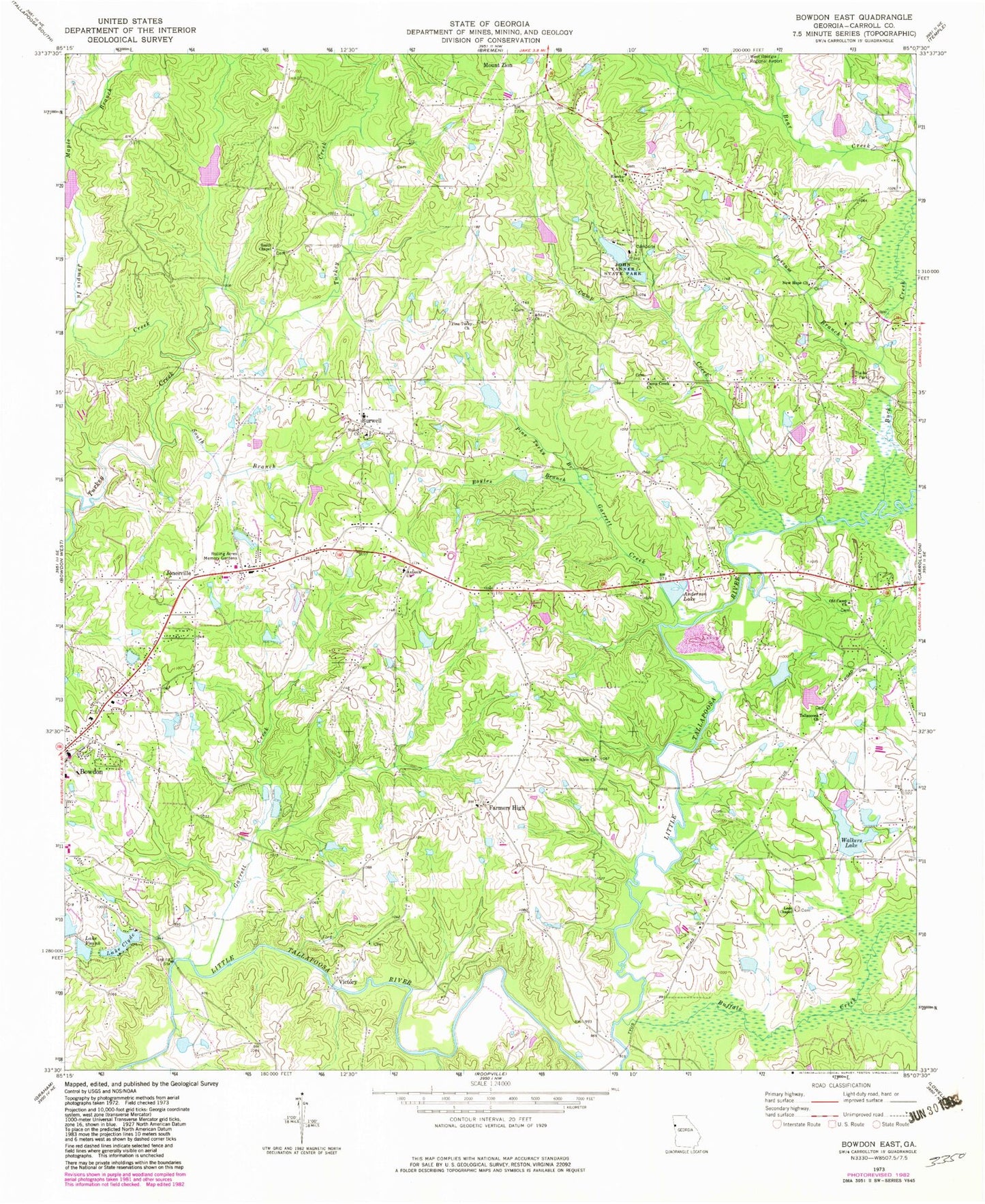
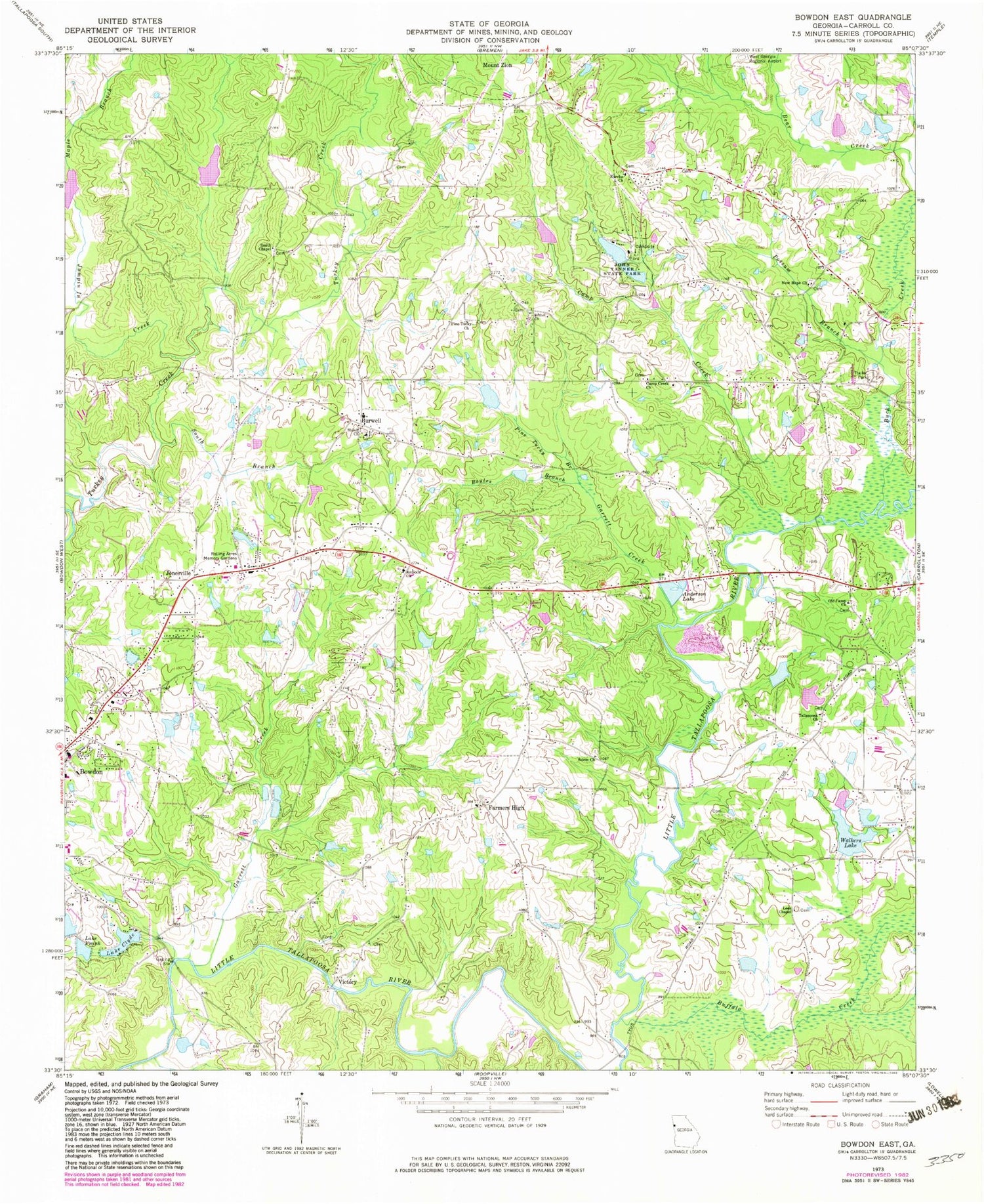
Classic USGS Bowdon East Georgia 7.5'x7.5' Topo Map
Couldn't load pickup availability
Historical USGS topographic quad map of Bowdon East in the state of Georgia. Typical map scale is 1:24,000, but may vary for certain years, if available. Print size: 24" x 27"
This quadrangle is in the following counties: Carroll.
The map contains contour lines, roads, rivers, towns, and lakes. Printed on high-quality waterproof paper with UV fade-resistant inks, and shipped rolled.
Contains the following named places: Anderson Lake, Bethel Church, Boyles Branch, Buck Creek, Buffalo Creek, Camp Creek, Lake Clyde, Lake Frank, Garrett Creek, Jumpin In Creek, Lees Chapel, Maple Branch, New Hope Church, Old Camp Church, Pine Tucky Branch, Pine Tucky Church, Possum Branch, Rolling Acres Memory Gardens, Salem Baptist Church, Shiloh Church, Smith Chapel, South Branch Turkey Creek, Tallapoosa Church, Walkers Lake, Words Creek, Jonesville, Victory, Nessinger Lake Dam, Wessinger Lake, Lake Clyde Dam, Lake Frank Dam, Wessinger Dam, Wessinger Lake, W Walkers Dam, W Walkers Lake, Walkers Dam, Swins Lake Dam A, Swins Lake A, Carroll Lake, Moon Lake, Inman Dam, Inman Lake, John Tanner State Park Lake Dam A, John Tanner State Park Lake A, Cole Lake Dam, Cole Lake, John Tanner State Park Lake Dam B, John Tanner State Park Lake B, Swins Lake Dam B, Swins Lake B, Shadinger Lake Dam, Shadinger Lake, Lake Woodfin, Lees Chapel Cemetery, Lovvorns Mill (historical), Luckie (historical), Mount Zion Elementary School, New Bridge, New Hope Cemetery, Old Camp Cemetery, Pine Tucky School (historical), Pinetucky Cemetery, Plowshare (historical), Sackville School (historical), Salem Cemetery, Sand Creek School (historical), Shiloh Cemetery, Simonton Mill (historical), Smith Chapel Cemetery, Tallapoosa Cemetery, Tallapoosa School (historical), Tanners Lake, Victory Church, Antioch Cemetery, Antioch School (historical), Brock Bridge (historical), Camp Creek Cemetery, Double Branches, Eureka Cemetery, Fairview (historical), Antioch Baptist Church, Burwell, Camp Creek Church, Eureka Church, Farmers High, Garrett Creek, John Tanner State Park, Bowdon Division, Flying W Farms Airport, Jonesville Middle School, Carroll County Fire - Rescue Station 6


