MyTopo
Classic USGS Bowen Flat Wyoming 7.5'x7.5' Topo Map
Regular price
$16.95
Regular price
Sale price
$16.95
Unit price
per
Couldn't load pickup availability
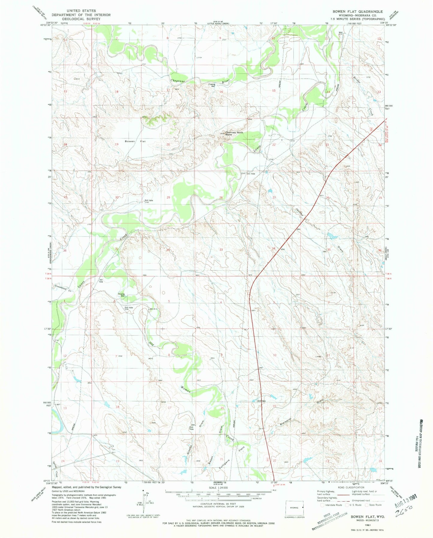
Historical USGS topographic quad map of Bowen Flat in the state of Wyoming. Map scale may vary for some years, but is generally around 1:24,000. Print size is approximately 24" x 27"
This quadrangle is in the following counties: Niobrara.
The map contains contour lines, roads, rivers, towns, and lakes. Printed on high-quality waterproof paper with UV fade-resistant inks, and shipped rolled.
Contains the following named places: Beech Draw, Bowen Flat, Brewster Draw, Brewster Draws, Bridge Creek, Chimney Rock Butte, Culligans Flats, Glasby Draw, Greasewood Creek, Jacoby Draw, Lance Creek, Old Woman Creek, Rumney Number 2 Dam, Rumney Number 2 Reservoir, Rumney Number 3 Dam, Rumney Number 3 Reservoir