MyTopo
Classic USGS Bowers Hill Virginia 7.5'x7.5' Topo Map
Couldn't load pickup availability
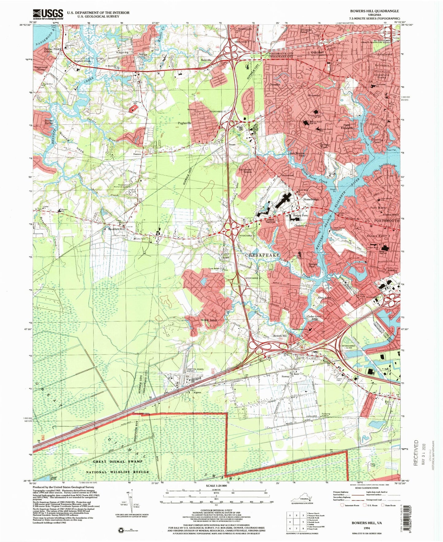
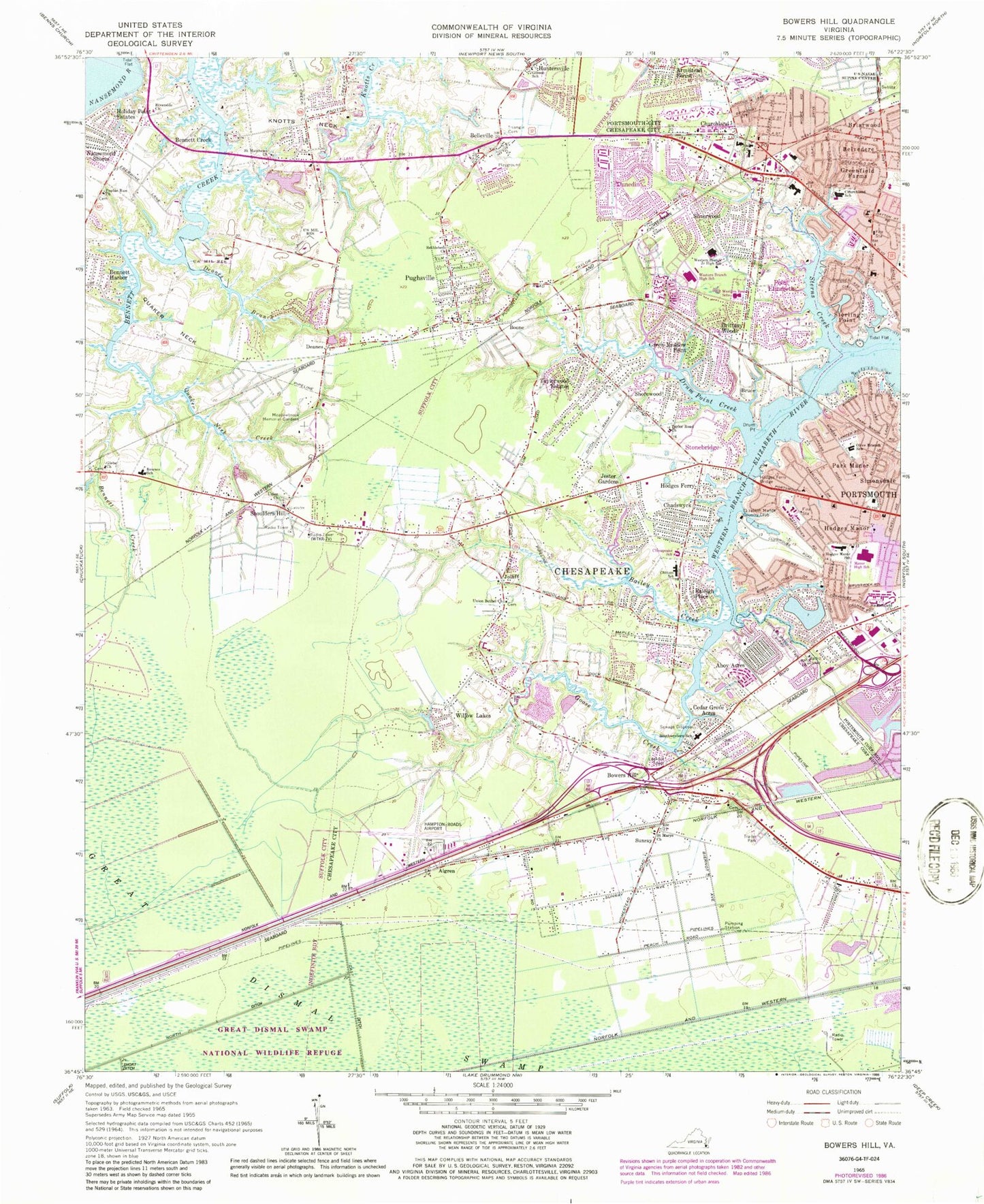
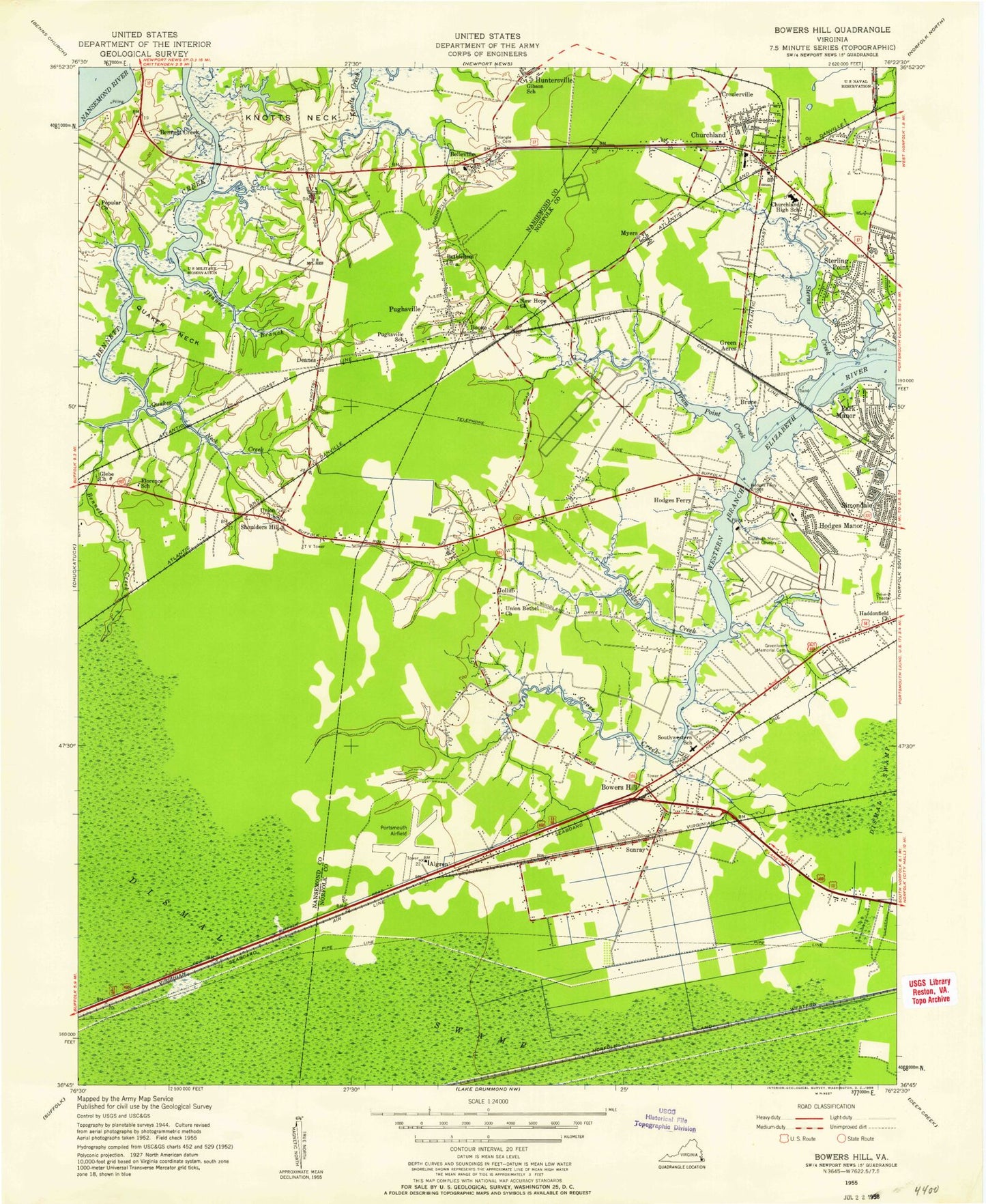
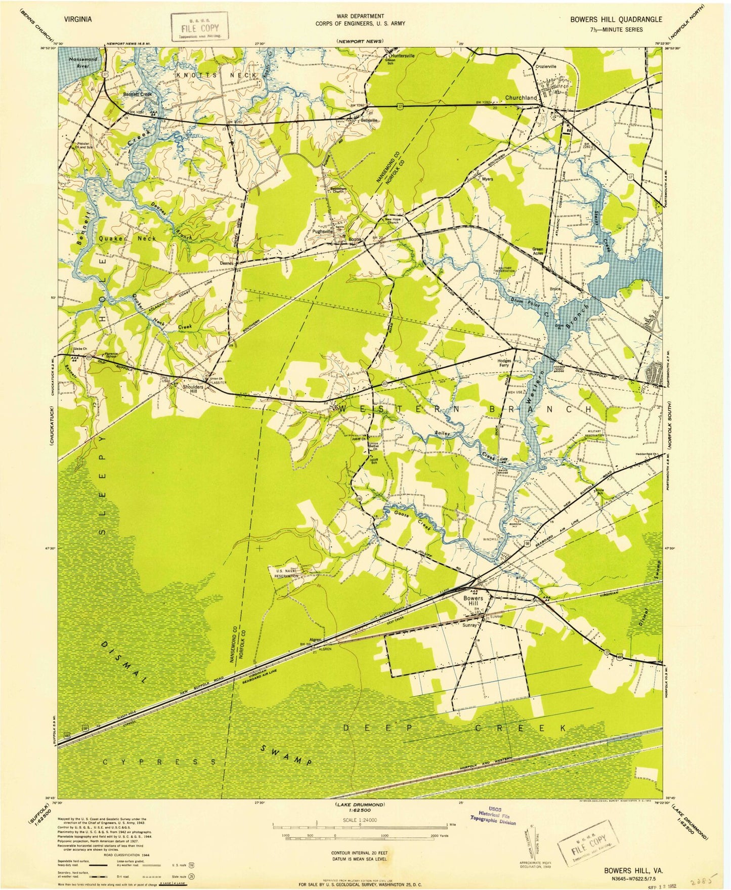
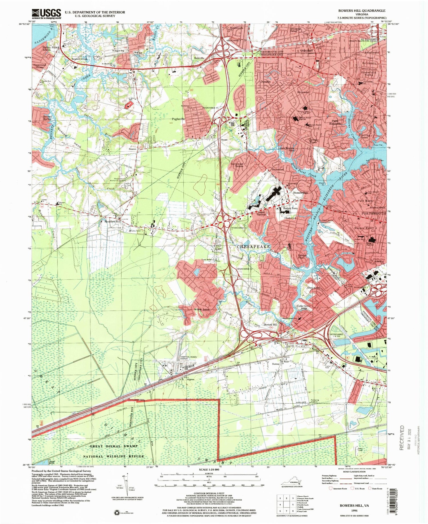
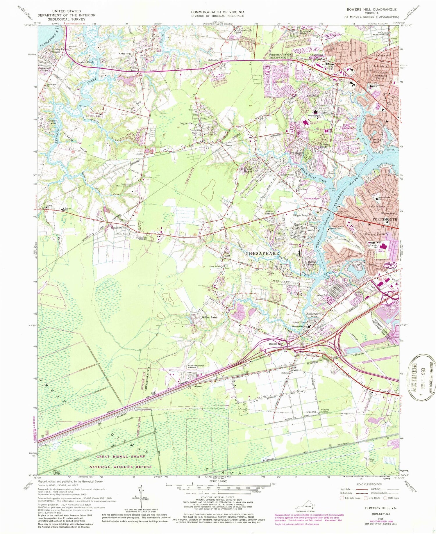
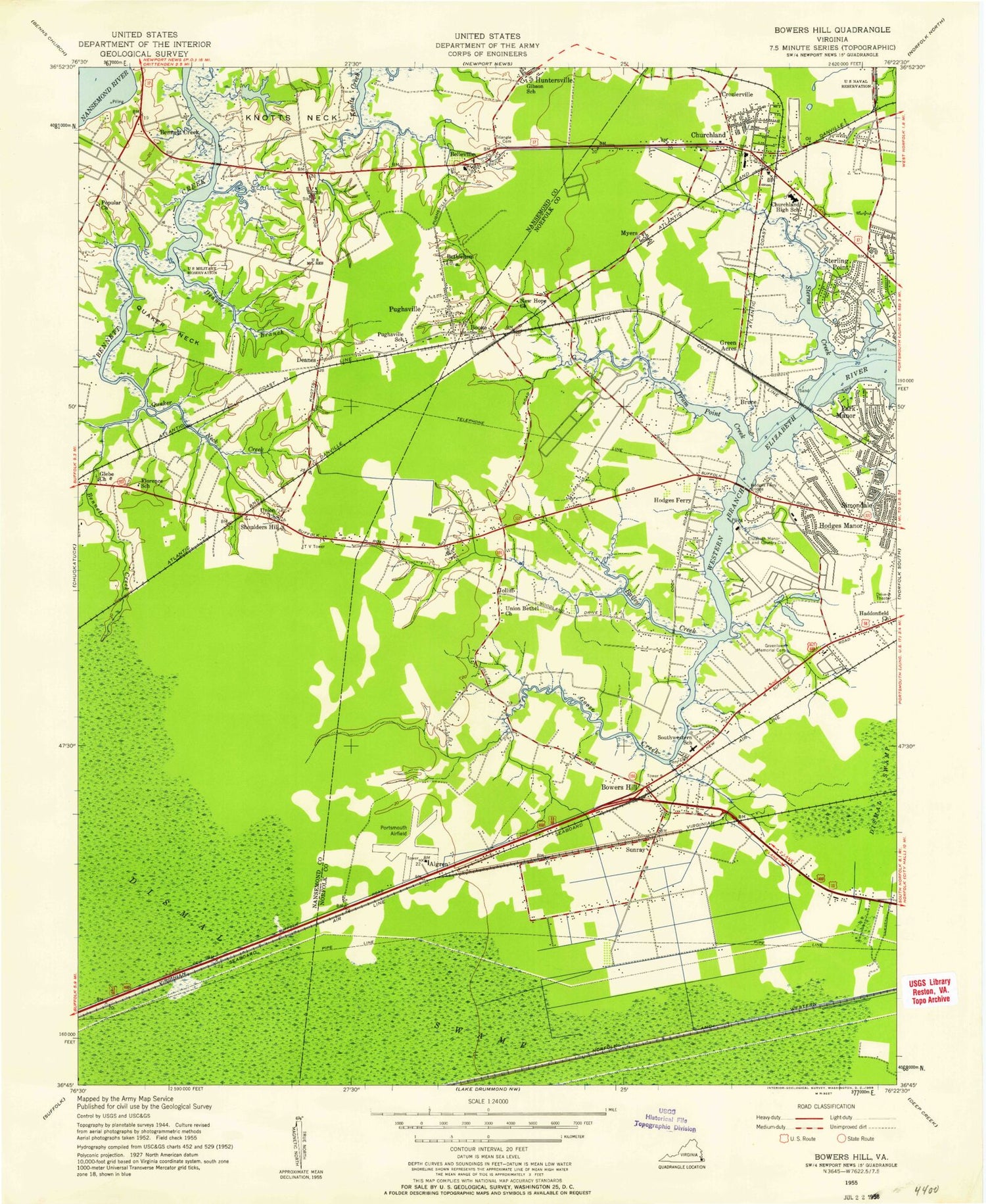
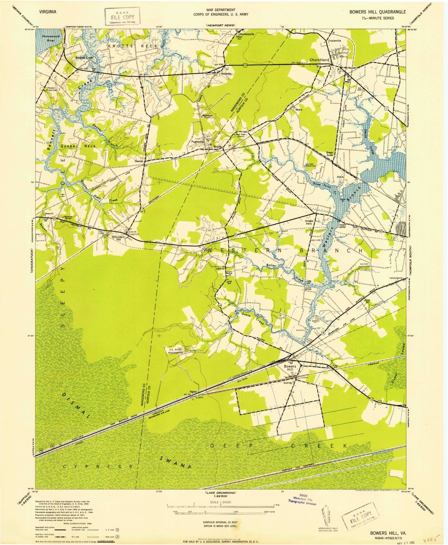
Historical USGS topographic quad map of Bowers Hill in the state of Virginia. Map scale may vary for some years, but is generally around 1:24,000. Print size is approximately 24" x 27"
This quadrangle is in the following counties: Chesapeake (city), Portsmouth (city), Suffolk (city).
The map contains contour lines, roads, rivers, towns, and lakes. Printed on high-quality waterproof paper with UV fade-resistant inks, and shipped rolled.
Contains the following named places: Ahoy Acres, Ahoy Shores, Algren, Alliance Christian Academy, Ames Cove, Arbor Meadows, Armistead Forest, Bailey Creek, Believers Church, Belleville, Belleville Meadows, Belvedere, Bennett Creek, Bennetts Creek Marina, Bennett's Creek Nursery, Bennetts Creek Park Boat Ramp, Bennett's Creek Rescue Squad, Berwyn, Bethlehem Church, Bon Secours Health Center at Harbour View, Boone, Bowers Hill, Bowers Hill Post Office, Brandy Plaza Shopping Center, Briarwood, Bruce, Bullocks Trailer Park, Cedar Grove Acres, Cedar Point, Centenary United Methodist Church, Central Baptist Church, Central Christian Academy, Chadswyck, Charlton Village, Chesapeake Center Shopping Center, Chesapeake Fire Department Station 10 Bowers Hill, Chesapeake Fire Department Station 11 Dock Landing, Chesapeake Fire Department Station 12 Western Branch, Chesapeake Police Department- Fourth Precinct, Chesapeake Police Department Fourth Precinct - Western Branch, Chesapeake School, Chesapeake Square Mall Shopping Center, Christopher Academy, Church of the Resurrection, Churchland, Churchland Branch Portsmouth Public Library, Churchland Elementary School, Churchland House Assisted Living Facility, Churchland Place Shopping Center, Churchland Post Office, Churchland Shopping Center, Churchland Square Shopping Center, Churchland West, Colonial Point, Colony Manor, Covenant United Methodist Church, Creekside Elementary School, Crossroads at Chesapeake Square Shopping Center, Cypress Borough, Davids Mill, Dayle Acres, Deanes, Deanes Branch, Deerfield, Dockwood, Drum Creek Farms, Drum Point, Drum Point Creek, Dunedin, E W Chittum Elementary School, East Ditch, Edgewood Park, Elizabeth Acres, Elizabeth Manor, Elizabeth Manor Golf and Country Club, Elmhurst Sqaure Shopping Center, Excel Campus School, Fellowship Baptist Church, First Friends Church, Florence Bowser Elementary School, Forest Hills, Gibson School, Glebe Church, Glen Forest, Glenmoore, Goose Creek, Green Acres, Green Acres Presbyterian Church, Green Lake, Green Lakes, Green Meadow Point, Greenfield Farms, Greenlawn Memorial Park, Greenwood Industrial Park, Haddonfield Church, Hampton Roads Executive Airport, Harbor View Commerce Park South, Hatton Point, Hodges Ferry, Hodges Ferry Bridge, Hodges Manor, Hodges Manor Elementary School, Holiday Point Estates, Holly Cove, Holy Communion Lutheran Church, Horseshoe Lake, Huntersville, Jester Gardens, John C Holland Enterprises Landfill, Jolliff, Jolliff Middle School, Jolliff Post Office, Jolliff Retail Post Office, Jolliff School, Jolliff United Methodist Church, Jolliff Woods, Knotts Neck, Lake Cavalier, Lake Forest, Lake Jean, Lake Pam, Lamper Place, Lancaster Farms, Lilley Farms and Nursery, Manning Estates, Manor Branch Portsmouth Public Library, Manor High School, Manor View, Manor Village Shopping Center, Mayflower Park, Meadowbrook Memorial Gardens, Milteer Acres, Montessori Preparatory School, Nansemond Shores, New Beginning Christian Center, Nike Site N-63C, Nike Site N-63L, North Ditch, Northgate Commerce and Industrial Park, Old Wharf Cove, Olive Branch Elementary School, Park Manor, Park View Christian Church, Pine Acres, Pinecrest Baptist Church, Plaza Shopping Center, Point Elizabeth, Point Harbor Community Church, Poplar Hill Plaza Shopping Center, Poplar Run Church, Portsmouth Acres, Portsmouth Fire Rescue and Emergency Medical Services Station 12, Portsmouth Fire Rescue and Emergency Medical Services Station 9, Portsmouth Plaza and Commerce Center, Pride Homes, Province Place of Maryview Assisted Living Facility, Pughsville, Quaker Neck, Quaker Neck Creek, Raleigh Place, Riverbend, Riverside Church, Saint Andrew Lutheran Church, Saint Andrews United Methodist Church, Saint Marys Church, Saint Matthews Church, Sandy Pines, Scotfield, Shorewood, Shoulders Hill, Siesta Gardens, Silverwood, Simons Dale Shopping Center, Simonsdale, Sleepy Hole Borough, South Dockwood, Southwestern Elementary School, Sterling Center Commons Shopping Center, Sterling Point, Sterns Creek, Stewart Manor, Stone Bridge, Stonebridge Primary School, StoneBridge School, Suffolk Department of Fire and Rescue Station 5, Suffolk Police Department Precinct 2, Sunray, Sunrise Community Church, Sweetbrier, Sweethaven Christian Academy, Taylor Executive Center, Taylor Road Church, Taylor Road Plaza Shopping Center, Taylorwood Estates, Temple Beth El, The Church of Jesus Christ of Latter Day Saints, The Village Church, Towne Point Shops, Towne Point Square Shopping Center, Triangle Cemetery, Trinity Church, Union Bethel Church, Union Church, United Congregational Christian Church, Wedgewood, West Park Homes, West Park Manor, Western Branch Borough, Western Branch High School, Western Branch Intermediate School, Western Branch Middle School, Western Branch Park, Western Branch Primary School, Westwood, Wetsmoreland, WGNT-TV (Portsmouth), Willow Lakes, WLTY-FM (Norfolk), WMXN-FM (Norfolk), WNSB-FM (Norfolk), Wonderland Forest, Woodbine, Woodrow Wilson High School, WOWI-FM (Norfolk), WPMH-AM (Portsmouth), WTKR-TV (Norfolk), WUHX-TV (Norfolk), WVEC-TV (Hampton), WXRI-FM (Norfolk), WYAH-TV (Portsmouth), WYFI-FM (Norfolk), Wynnewood, YMCA of Portsmouth, ZIP Codes: 23321, 23435
