MyTopo
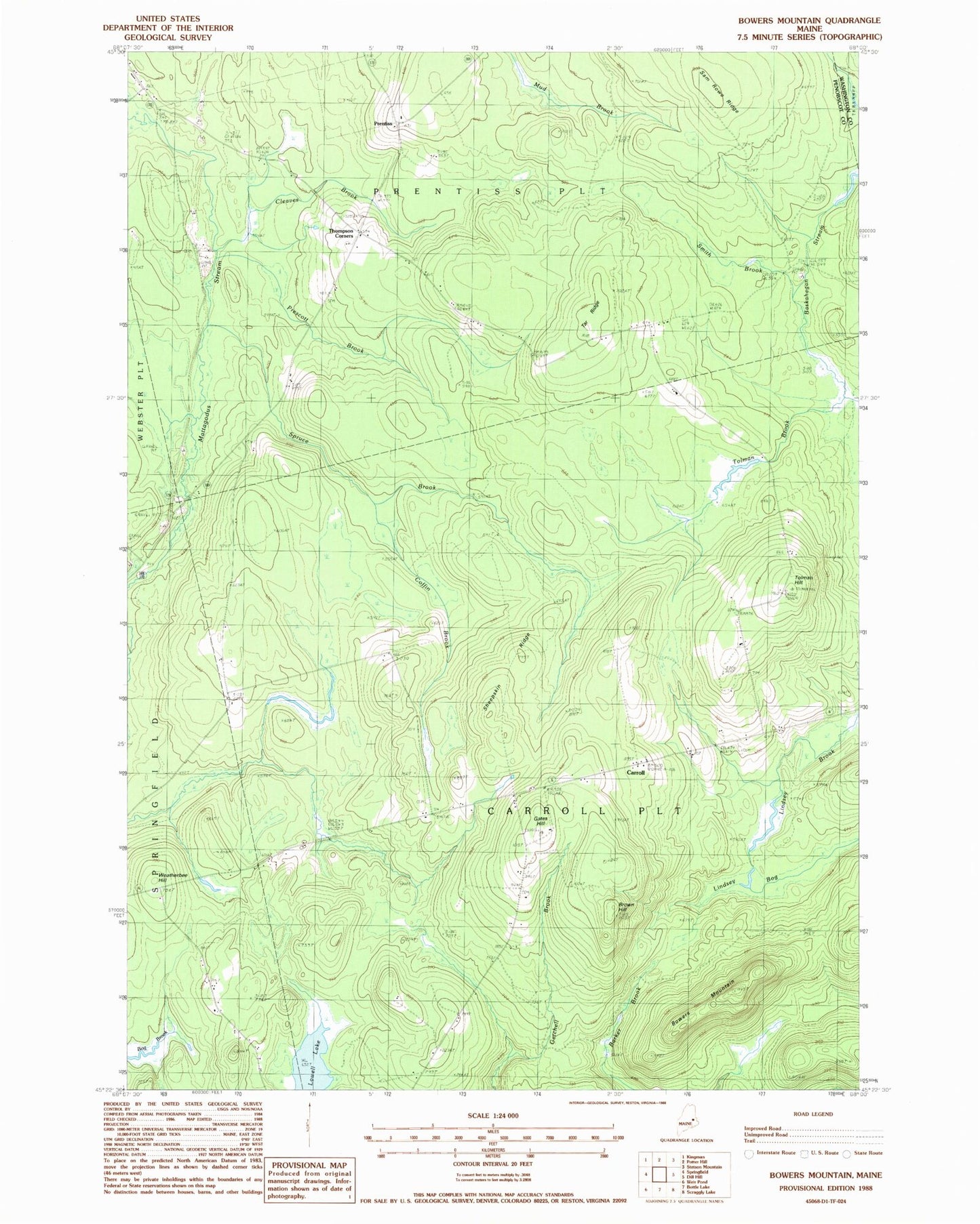
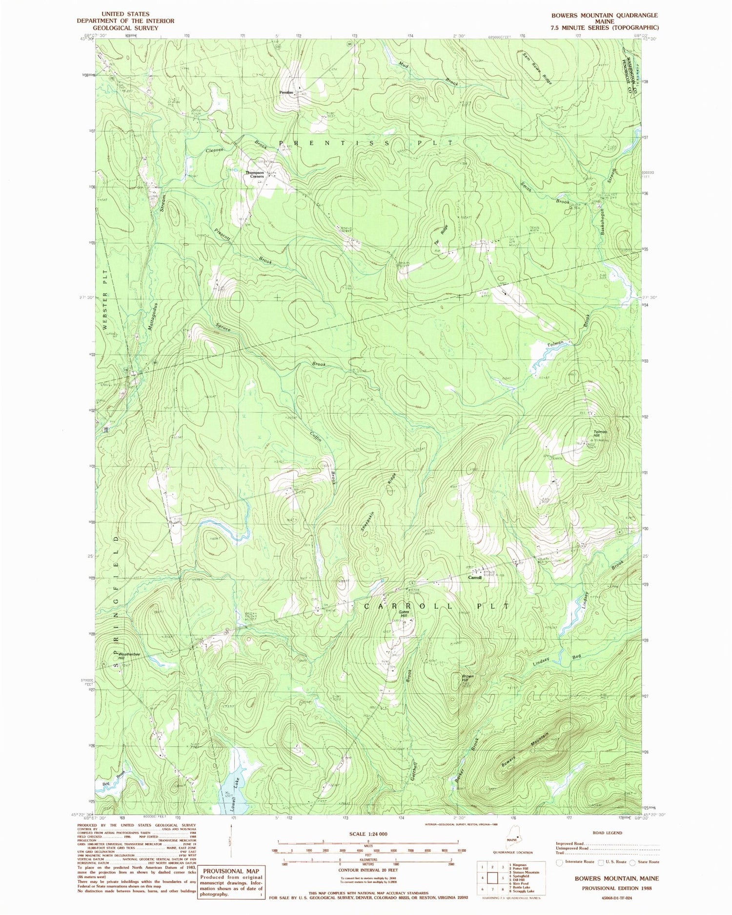
Classic USGS Bowers Mountain Maine 7.5'x7.5' Topo Map
Couldn't load pickup availability
Historical USGS topographic quad map of Bowers Mountain in the state of Maine. Map scale is 1:24000. Print size is approximately 24" x 27"
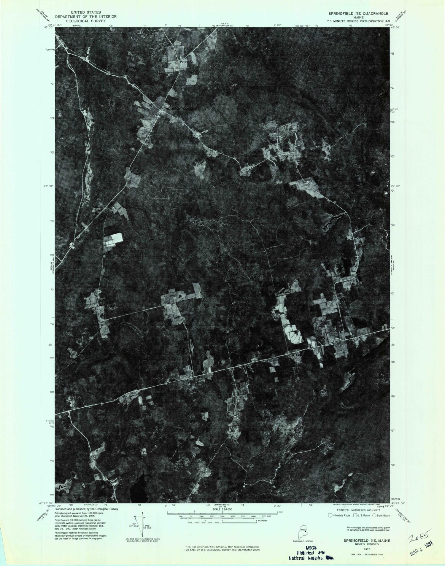
This quadrangle is in the following counties: Penobscot, Washington.
The map contains contour lines, roads, rivers, towns, and lakes. Printed on high-quality waterproof paper with UV fade-resistant inks, and shipped rolled.
Contains the following named places: Bowers Mountain, Brown Hill, Carroll, Cleaves Brook, Coffin Brook, Cole School, Gates Hill, Gates School, Lindsey Bog, Lowell Lake, Plantation of Carroll, Prentiss, Prescott Brook, Sam Rowe Ridge, Sheepskin Ridge, Smith Brook, Spruce Brook, Tar Ridge, Tar Ridge School, Thompson Corners, Thompson School, Tolman Brook, Tolman Hill, Tolman School, Tredwell School, Washington School, Weatherbee Hill, White School