MyTopo
Classic USGS Bowie Arizona 7.5'x7.5' Topo Map
Couldn't load pickup availability
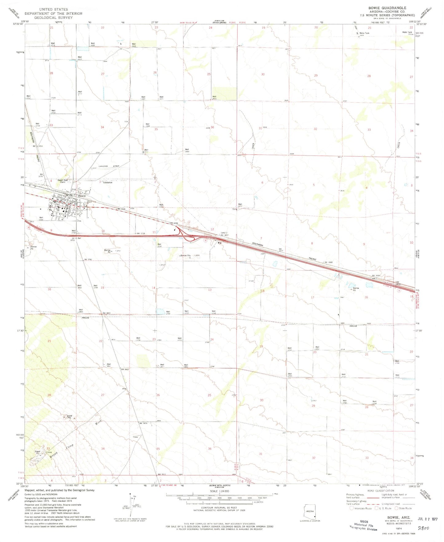
Historical USGS topographic quad map of Bowie in the state of Arizona. Map scale may vary for some years, but is generally around 1:24,000. Print size is approximately 24" x 27"
This quadrangle is in the following counties: Cochise.
The map contains contour lines, roads, rivers, towns, and lakes. Printed on high-quality waterproof paper with UV fade-resistant inks, and shipped rolled.
Contains the following named places: Bowie, Bowie Airport, Bowie Census Designated Place, Bowie Desert Rest Cemetery, Bowie Elementary School, Bowie High School, Bowie Post Office, Bowie Railroad Station, Bowie Substation, Cochise County Sheriff's Office Bowie District, Happy Camp Wash, Holt Overpass, Jimmie Libhart Library, ZIP Code: 85605