
MyTopo
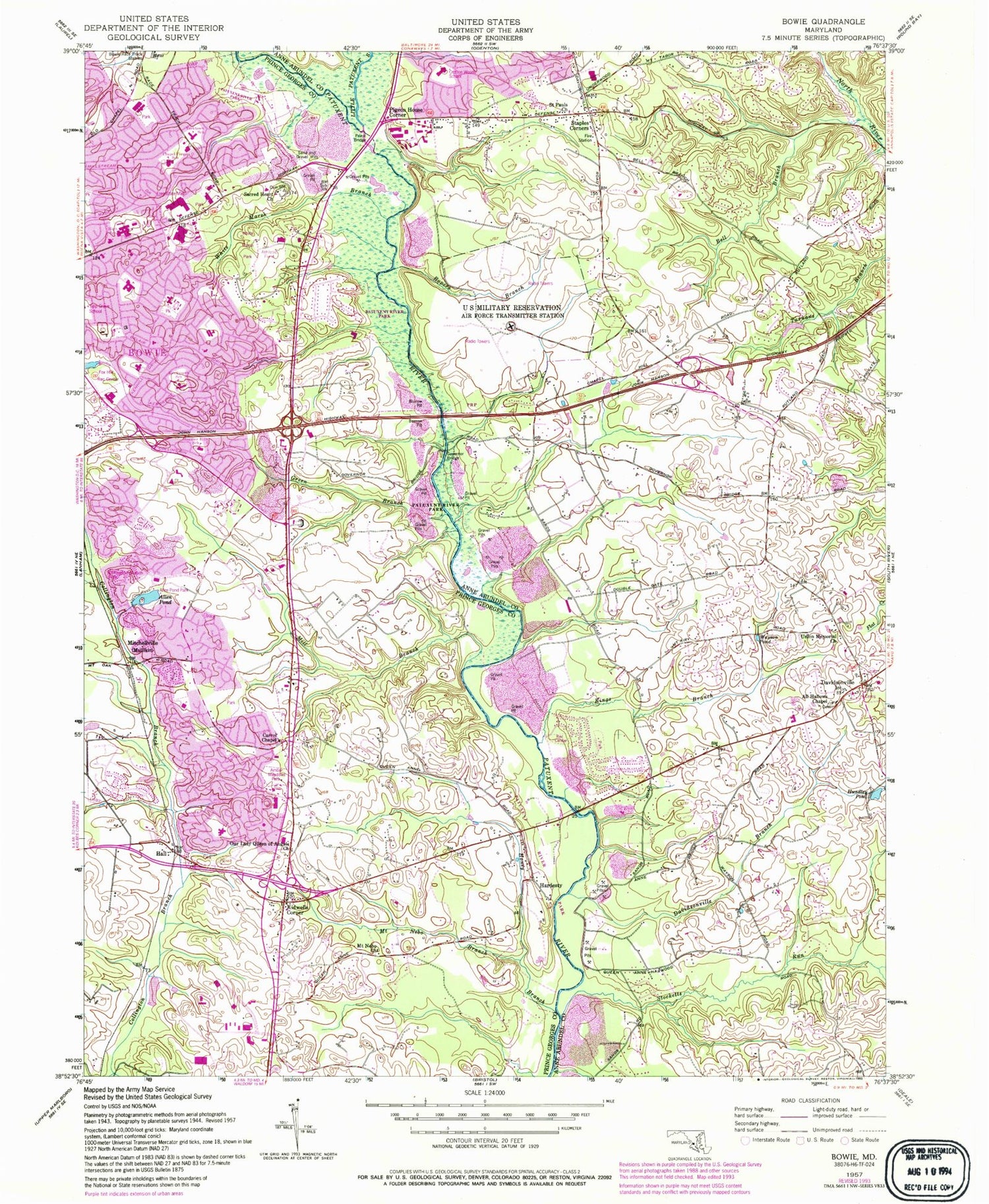
Classic USGS Bowie Maryland 7.5'x7.5' Topo Map
Couldn't load pickup availability
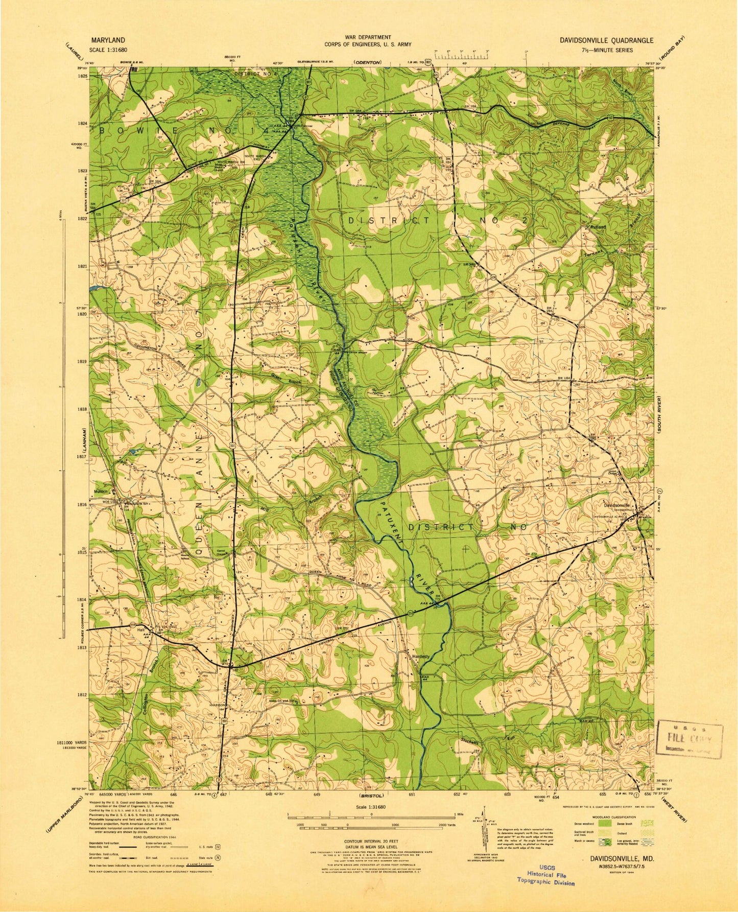
Historical USGS topographic quad map of Bowie in the state of Maryland. Typical map scale is 1:24,000, but may vary for certain years, if available. Print size: 24" x 27"
This quadrangle is in the following counties: Anne Arundel, Prince George's.
The map contains contour lines, roads, rivers, towns, and lakes. Printed on high-quality waterproof paper with UV fade-resistant inks, and shipped rolled.
Contains the following named places: All Hallows Chapel, Bell Branch, Davidsonville Branch, Davidsonville, Hundley Pond, Kings Branch, Little Patuxent River, Queen Anne Bridge, Ropers Branch, Saint Pauls Church, Stocketts Run, Union United Methodist Church, Wayson Pond, Pigeon House Corner, Lake of the Pines Dam, Lake Ruth, Allen Pond Dam, Bowie High School, Allen Pond Park, Fairview Airport, Black Branch, Foxhill Park, Allen Pond, Amber Meadows Park, Belair Junior High School, Bowie, Bowie Race-Track Stables, Buckingham School, Carrol Chapel, Chapel Forge Early Childhood Center, Collington Branch Park, Fox Hill Recreation Center, Foxhill School, Governor Bridge, Green Branch, Hall, Heather Hills Elementary School, Honey Branch, Kenilworth Elementary School, Kidwells Corner, Mill Branch, Mitchellville, Mount Nebo Branch, Mount Nebo Church, Mullikin School, Samuel Ogle Middle School, Our Lady Queen of Angels Church, Patuxent River Watershed Park, Pointer Ridge Recreation Area, Priest Bridge, Sacred Heart Church, Somerset School, Benjamin Tasker Middle School, White Marsh Branch, White Marsh Park, Woodward Pond, Yorktown Elementary School, Queen Anne, WHFS-FM (Annapolis), WFSI-FM (Annapolis), Anne Arundel Free School, Davidsonville Elementary School, Davidsonville Park, Davidsonville Post Office, Davidsonville United Methodist Church, Holy Family Roman Catholic Church, Lakemont Memorial Gardens, Rutland, Rutland Schoolhouse (historical), Anne Arundel Academy, Arrowhead Farms Estates, Bell Branch Road Seventh Day Adventist Church, Bladen, Cheston, Cheval Trails, Chinquapin Crest, Crofton Middle School, Crofton South, Crofton Woods, Crofton Woods Elementary School, Davidsonville Farmettes, Davidsonville Gardens, Davidsonville Woods, Foxhall Estates, Friends Choice, Globecom Wildlife Management Area, Gravely, Hallmark Woods, Hanson Hills, Heather Woods, Hermitage Hill, Huntington Woods, King Manor, Kings Retreat, Lake of the Pines, Lavall, Meadowoods of Davidsonville, Merrywood, Merrywood Manor, Patuxent Manor, Patuxent River Estates, Priest Bridge Business Park, Priest Bridge Centre Shopping Center, Riverwood, Riverwood Park, Royale Glen, Rutland Estates, Stonegate Village, Tara, The Greens of Crofton, Timberlake Farm, Trails End Trailer Park, Velmeade, Lavall Woods, Belair Baptist Church, Belair Church of Christ, Bowie City Hall, C Elizabeth Rieg Regional School, Church of the Redeemer, Collington Plaza Shopping Center, Cornerstone Assembly of God Church, Essington, Free State Mall Shopping Center, Grace Baptist Church, Grace Lutheran Church, Heather Hills, Hill Top Plaza Shopping Center, Idlewild, Mason School (historical), Nebo School (historical), Overbrook, Pin Oak Village, Pointer Ridge Elementary School, Pointer Ridge Plaza Shopping Center, Queen Anne Estates, Queen Anne Knolls, Sacred Heart Catholic Cemetery, Saint Matthews United Methodist Church, Sherwood Manor, Somerset Park, The Market Place Shopping Center, University of Maryland Science and Technology Center, Heather Hills Park, Bowie Branch Prince George's County Memorial Library, State of Maryland, District 7 Queen Anne, C Elizabeth Rieg Regional Special Education School, Bowie Health Center, Bowie Library, Bowie Volunteer Fire Department Station 843, Staples Corner Shopping Center, Arundel Volunteer Fire Department, Bowie Volunteer Fire Department Station 839, Grace Christian School, Fairhaven School Elementary School, Christian Community Presbyterian School, Martin Barr Adventist School, Cornerstone Christian Academy, Saint Matthew's Early Education Center, Redeemer Child Care Center, Belair Baptist Christian Academy, Northview Elementary School, High Road Academy Prince George's County, Prince George's County Police Department District 2 Station, City of Bowie, Bowie Fire Station Company 43, Kingdom Hall of Jehovahs Witnesses, Prince Georges County District Police Station 2, All Saints Lutheran Church, Temple Soloh, United Parish of Bowie Presbyterian Church, Bowie Gateway Center, Collington Center, Renditions Golf Course, Belair Cooperative Nursery School, Bowie Therapeutic Nursery Center, Saint Matthews United Methodist Early Education Center, City of Bowie Wastewater Treatment Plant, Larkin Chase Nursing and Restorative Center, Queen Anne Farm, Goodloe Memorial Unitarian Universalist Congregation, Queen Anne Census Designated Place, Bowie Town Center, Anne Arundel County Police Training Academy, Bowie Police Department, Apostolic Breakthrough International Ministries, Mitchellville Post Office