MyTopo
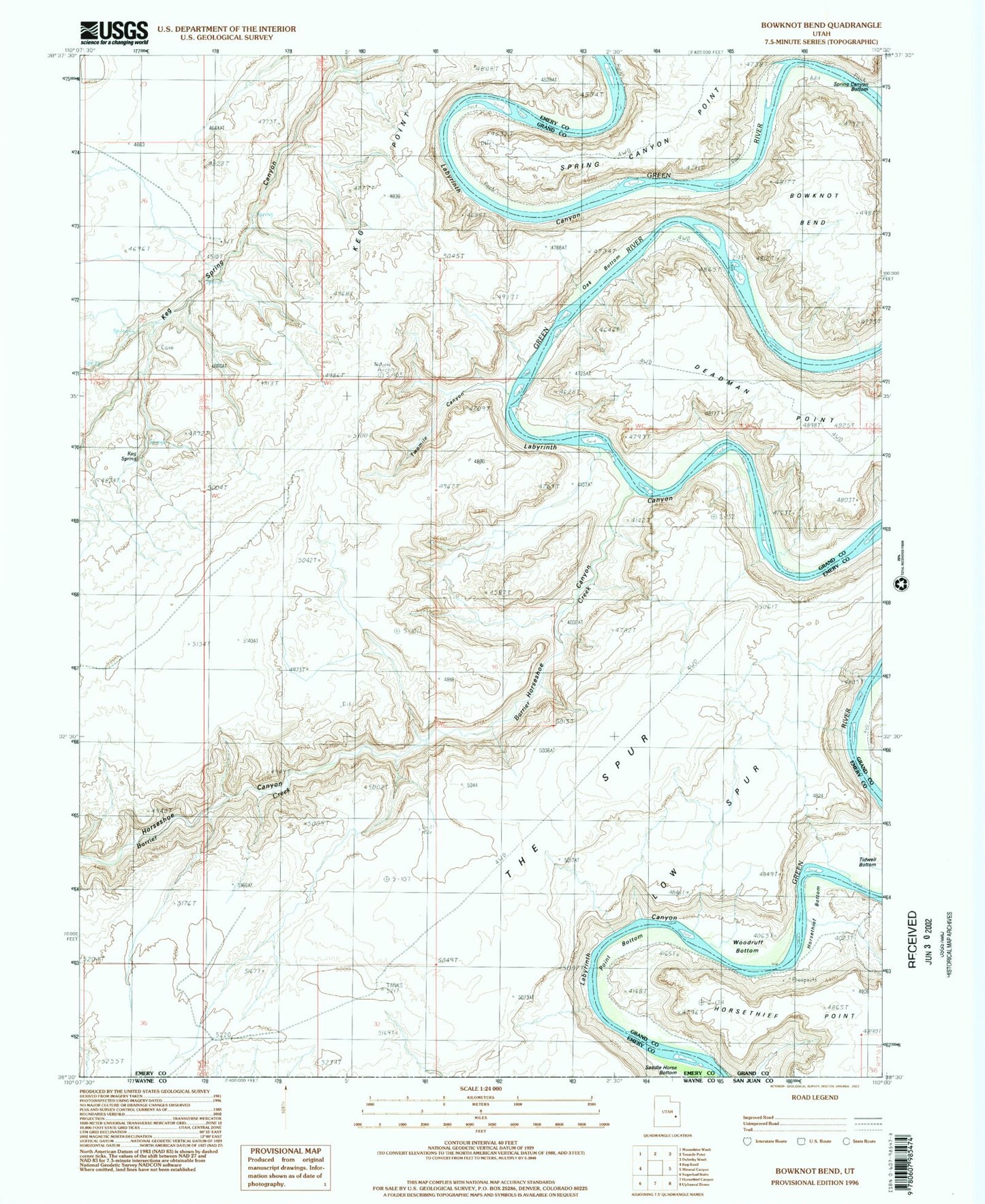
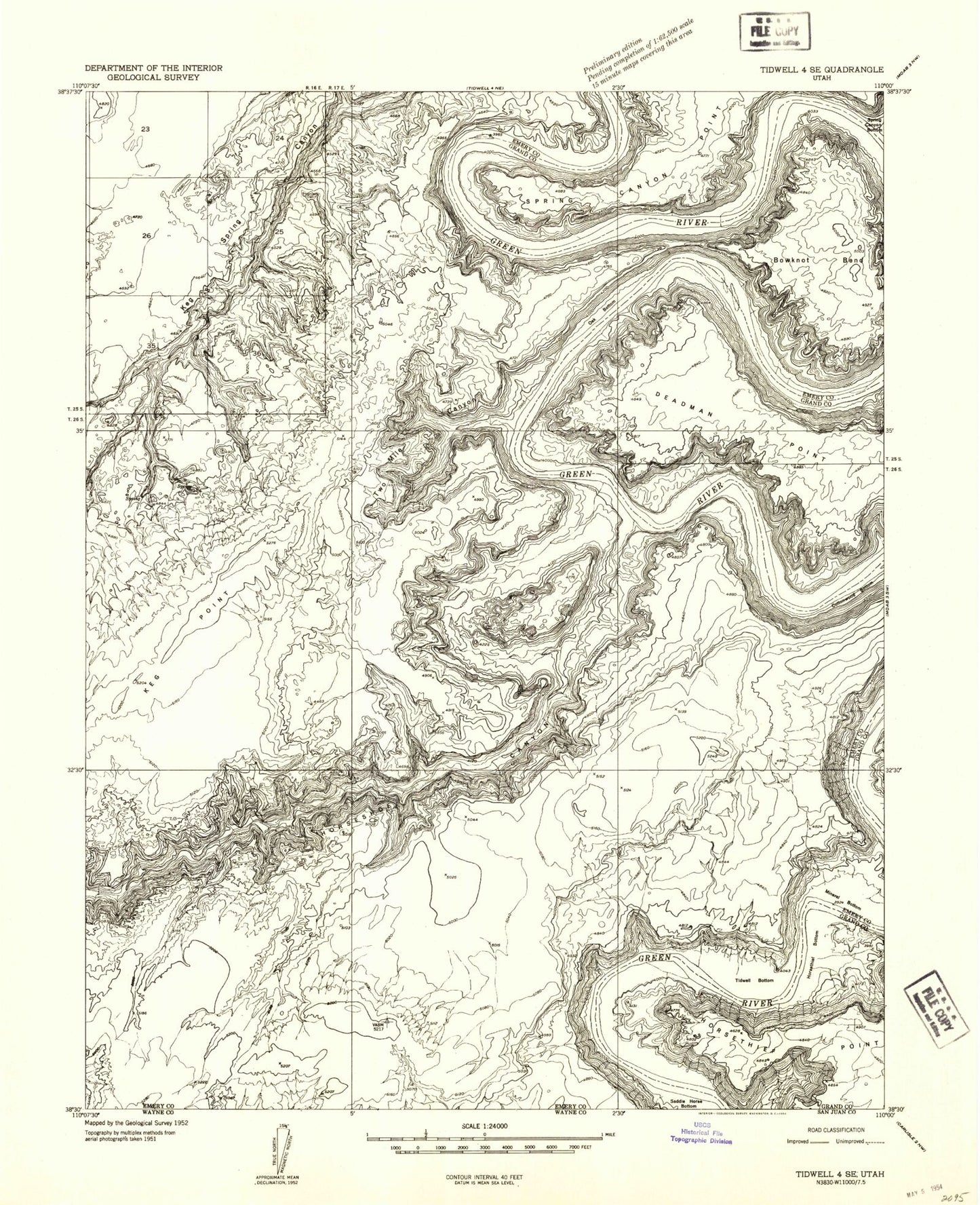
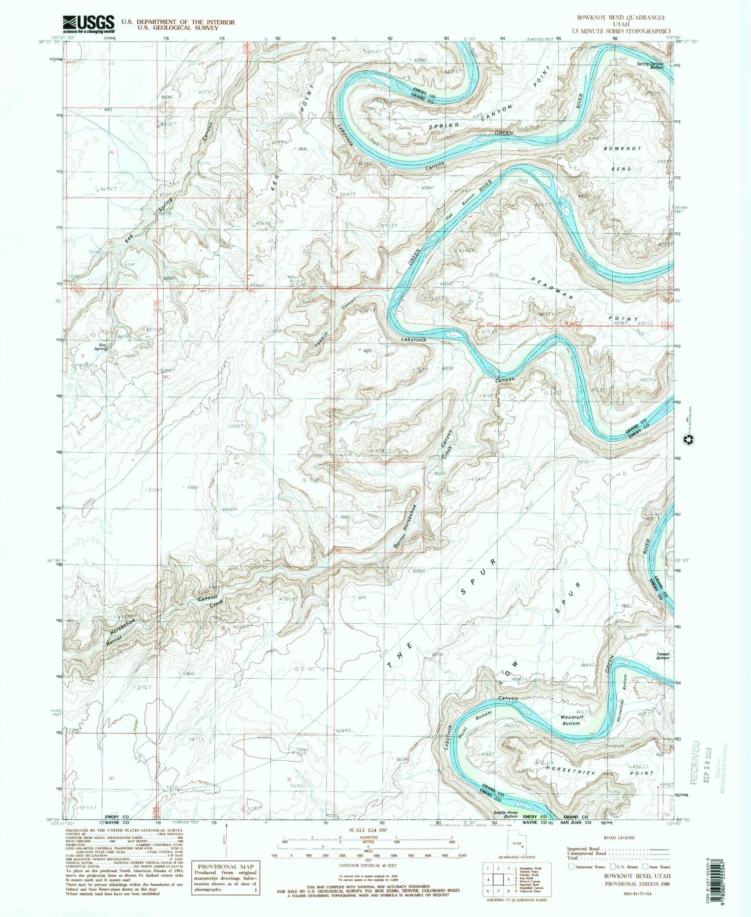
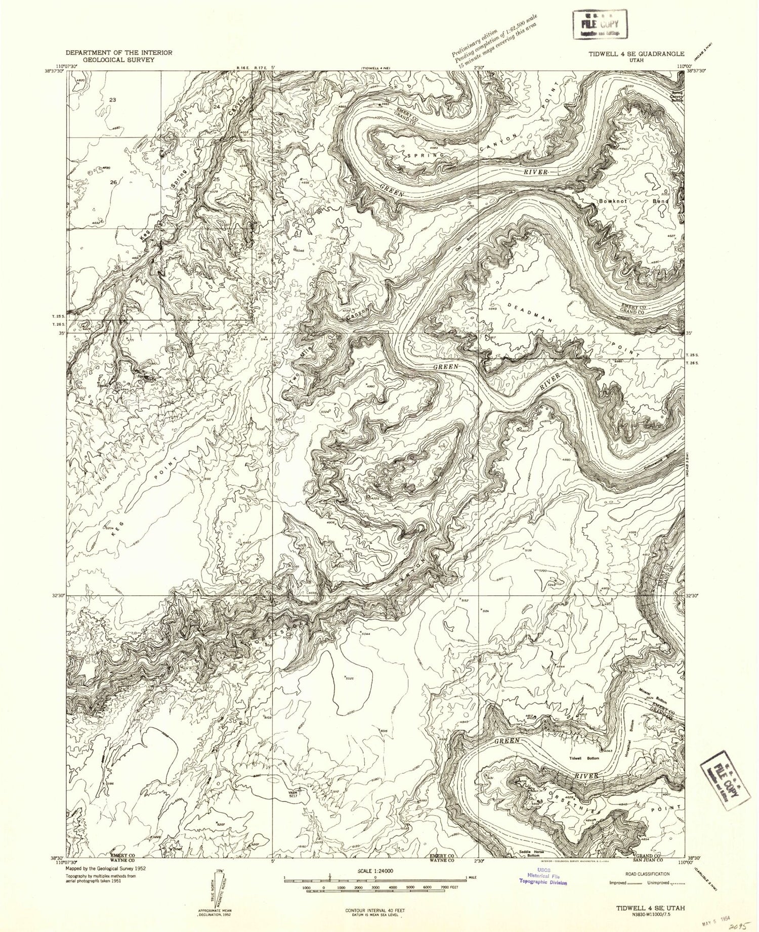
Classic USGS Bowknot Bend Utah 7.5'x7.5' Topo Map
Couldn't load pickup availability
Historical USGS topographic quad map of Bowknot Bend in the state of Utah. Typical map scale is 1:24,000, but may vary for certain years, if available. Print size: 24" x 27"
This quadrangle is in the following counties: Emery, Grand.
The map contains contour lines, roads, rivers, towns, and lakes. Printed on high-quality waterproof paper with UV fade-resistant inks, and shipped rolled.
Contains the following named places: Barrier Creek, Bowknot Bend, Horseshoe Canyon, Horsethief Bottom, Horsethief Trail, Keg Point, Keg Spring, Oak Bottom, Point Bottom, Spring Canyon, Spring Canyon Bottom, Spring Canyon Point, Tidwell Bottom, Twomile Canyon, Woodruff Bottom, Barrier Creek, Bowknot Bend, Horseshoe Canyon, Horsethief Bottom, Horsethief Trail, Keg Point, Keg Spring, Oak Bottom, Point Bottom, Spring Canyon, Spring Canyon Bottom, Spring Canyon Point, Tidwell Bottom, Twomile Canyon, Woodruff Bottom