MyTopo
Classic USGS Bowler Wisconsin 7.5'x7.5' Topo Map
Couldn't load pickup availability
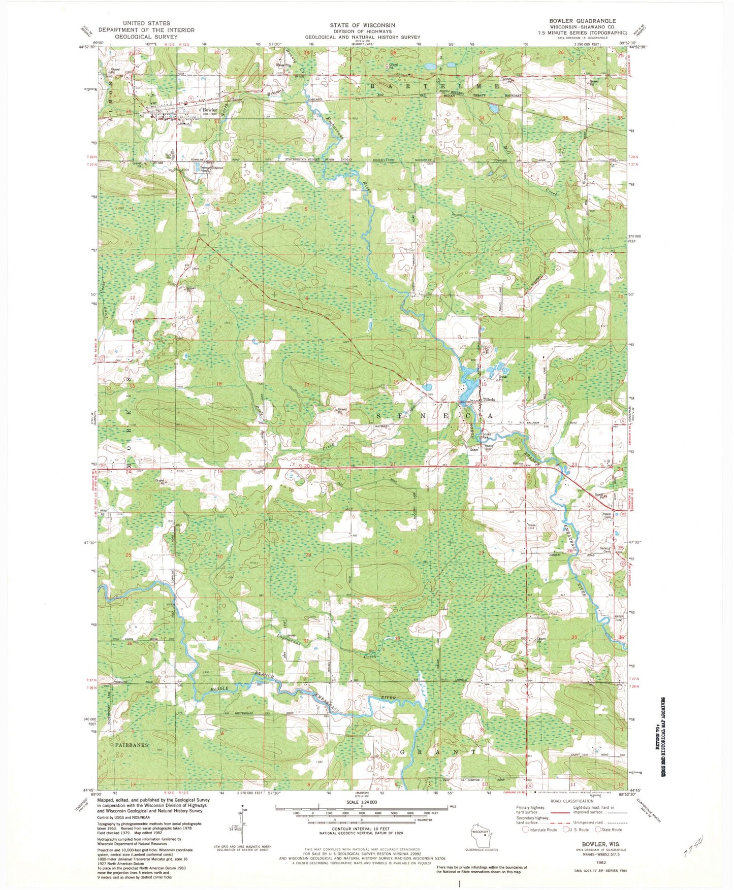
Historical USGS topographic quad map of Bowler in the state of Wisconsin. Map scale may vary for some years, but is generally around 1:24,000. Print size is approximately 24" x 27"
This quadrangle is in the following counties: Shawano.
The map contains contour lines, roads, rivers, towns, and lakes. Printed on high-quality waterproof paper with UV fade-resistant inks, and shipped rolled.
Contains the following named places: Bethany Church, Bowler, Bowler Area Fire District, Bowler Elementary School, Bowler Middle / High School, Bowler Pond, Bowler Post Office, Hennig Creek, Logemanns Creek, Maas Field, Pony Creek, Seneca Cemetery, Strassburg Creek, Tilleda, Tilleda 1885C281 Dam, Tilleda Census Designated Place, Tilleda Pond 53, Tilleda Post Office, Town of Seneca, Village of Bowler, Weasel Dam School