MyTopo
Classic USGS Bowling Green Mississippi 7.5'x7.5' Topo Map
Couldn't load pickup availability
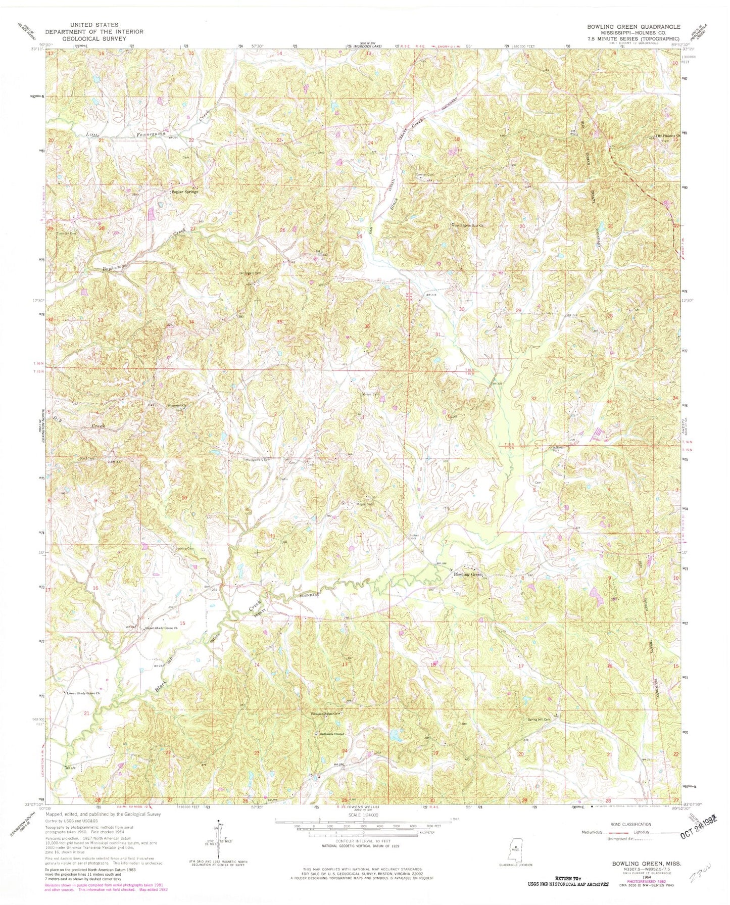
Historical USGS topographic quad map of Bowling Green in the state of Mississippi. Map scale may vary for some years, but is generally around 1:24,000. Print size is approximately 24" x 27"
This quadrangle is in the following counties: Carroll, Holmes.
The map contains contour lines, roads, rivers, towns, and lakes. Printed on high-quality waterproof paper with UV fade-resistant inks, and shipped rolled.
Contains the following named places: Bailey Cemetery, Beaver Creek, Bethesda Cemetery, Bethesda Chapel, Bowling Green, Boyd Cemetery, Brister Cemetery, Downer Cemetery, Eubanks Cemetery, First Pilgrim Rest Church, Green Cemetery, Hall Cemetery, Hooker Cemetery, Hopewell Church, Jenkins Cemetery, Lindsey Lake Dam, Lower Shady Grove Church, McGee Cemetery, Megee Cemetery, Melton Cemetery, Montgomery Cemetery, Mount Pleasant Cemetery, Mount Pleasant Church, Pleasant Ridge Cemetery, Pleasant Ridge Church, Poplar Springs, Porter Cemetery, Rogers Cemetery, Saffold Cemetery, Spring Hill Cemetery, Stokes Cemetery, Thurman Cemetery, Thurmond Cemetery, Upper Shady Grove Church, Watson Cemetery, Wilkins Cemetery