MyTopo
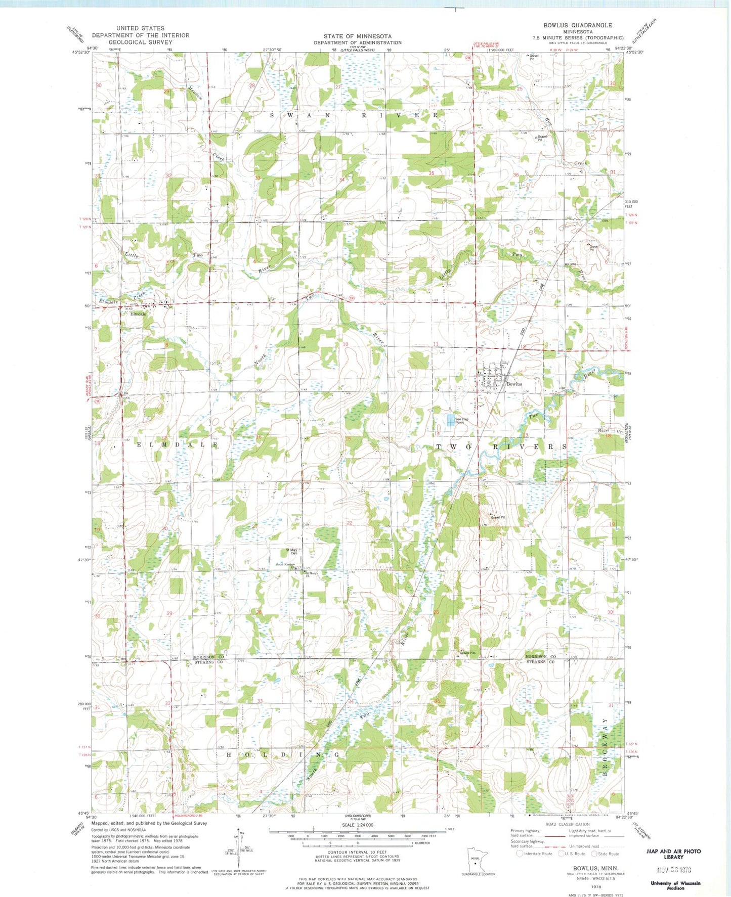
Classic USGS Bowlus Minnesota 7.5'x7.5' Topo Map
Couldn't load pickup availability
Historical USGS topographic quad map of Bowlus in the state of Minnesota. Map scale may vary for some years, but is generally around 1:24,000. Print size is approximately 24" x 27"
This quadrangle is in the following counties: Morrison, Stearns.
The map contains contour lines, roads, rivers, towns, and lakes. Printed on high-quality waterproof paper with UV fade-resistant inks, and shipped rolled.
Contains the following named places: Bowlus, Bowlus Fire Department, Bowlus Post Office, City of Bowlus, City of Elmdale, Danish Lutheran Church Cemetery, Elmdale, Elmdale Creek, Elmdale Post Office, Fedor Airport, Free Evangelical Church Cemetery, Meadow Creek, North Two River, Saint Edward's Church Cemetery, Saint Mary Cemetery, Saint Mary Church, Saint Stanislaus Church, Saint Stanislaus Saint Stan Kostka Cemetery, South Elmdale Church, South Two River, Township of Two Rivers, ZIP Codes: 56314, 56340