MyTopo
Classic USGS Bowman Hill Wyoming 7.5'x7.5' Topo Map
Couldn't load pickup availability
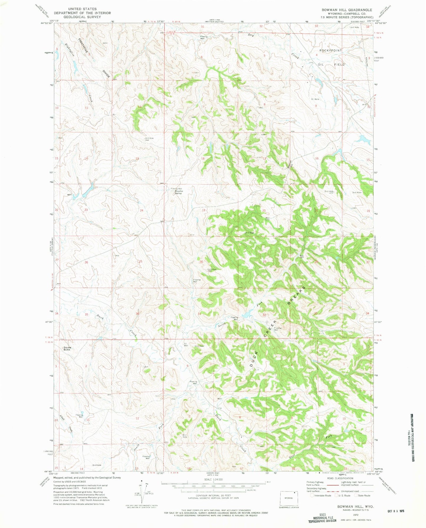
Historical USGS topographic quad map of Bowman Hill in the state of Wyoming. Map scale may vary for some years, but is generally around 1:24,000. Print size is approximately 24" x 27"
This quadrangle is in the following counties: Campbell.
The map contains contour lines, roads, rivers, towns, and lakes. Printed on high-quality waterproof paper with UV fade-resistant inks, and shipped rolled.
Contains the following named places: Bates Dam, Bates Reservoir, Bowman Hill, Bunker Butte Dam, Bunker Butte Reservoir, Dickinson Ranch, Duck Creek Breaks, East Fork Duck Creek, Houston Spring, McConnell Number 1 Dam, McConnell Number 1 Reservoir, Mitch Number 2 Dam, Mitch Number 2 Reservoir, North Fork Duck Creek, South Fork Duck Creek, Squaw Butte, Tony Dam, Tony Reservoir, Wilks Dam, Wilks Reservoir