MyTopo
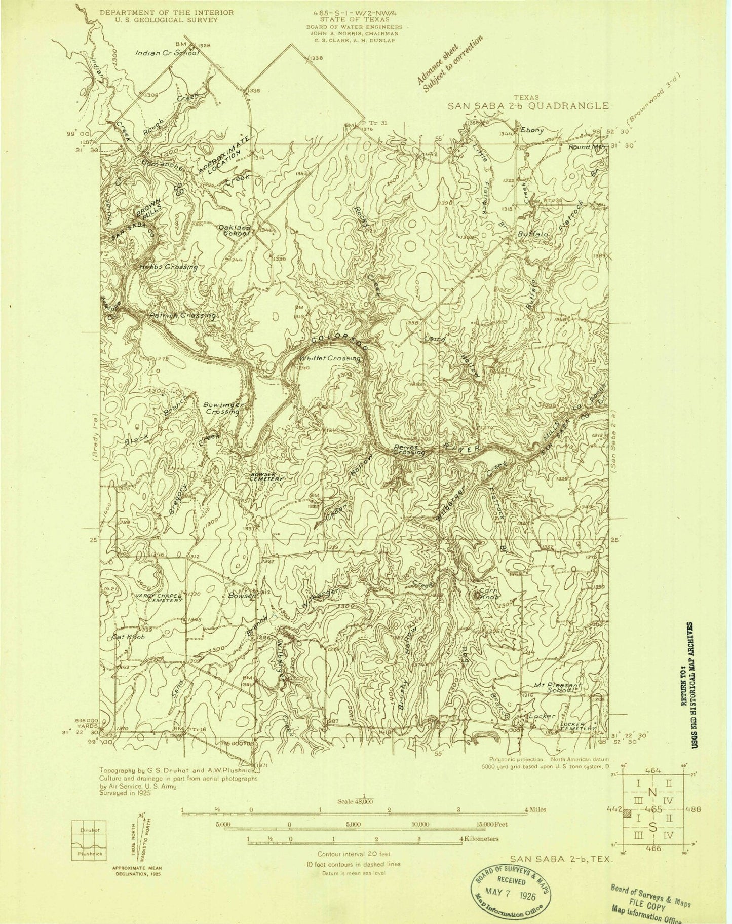
Classic USGS Bowser Texas 7.5'x7.5' Topo Map
Couldn't load pickup availability
Historical USGS topographic quad map of Bowser in the state of Texas. Map scale may vary for some years, but is generally around 1:24,000. Print size is approximately 24" x 27"
This quadrangle is in the following counties: Brown, Mills, San Saba.
The map contains contour lines, roads, rivers, towns, and lakes. Printed on high-quality waterproof paper with UV fade-resistant inks, and shipped rolled.
Contains the following named places: Antelope Creek, Black Branch, Bowser, Bowser Cemetery, Brushy Hollow, Buffalo, Buffalo Creek, Cat Knob, Ceder Hollow, Collins Lake, Collins Lake Dam, Comanche Creek, Corn Knob, Ebony Cemetery, Flatrock Branch, Gregory Creek, Harky Hollow, Hogg Branch, Laird Hollow, Lick Hollow, Little Buffalo Creek, Little Flatrock Branch, Locker, Locker Cemetery, Okland Church, Rocky Creek, Rough Creek, Sand Branch, Sofge-Bates Lake Number 1, Sofge-Bates Lake Number 1 Dam, Sofge-Bates Lake Number 2, Sofge-Bates Lake Number 2 Dam, Tin Top Ranch Airport, Vargy Chapel Cemetery, Wilbarger Creek, William Harlow Lake, William Harlow Lake Dam


