MyTopo
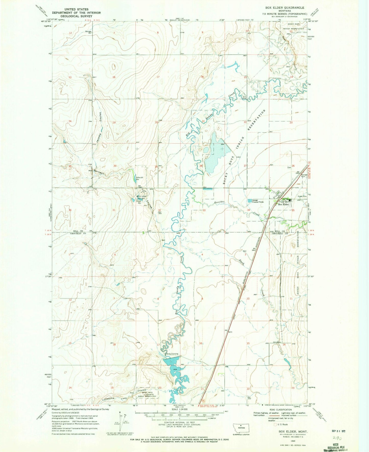
Classic USGS Box Elder Montana 7.5'x7.5' Topo Map
Couldn't load pickup availability
Historical USGS topographic quad map of Box Elder in the state of Montana. Map scale may vary for some years, but is generally around 1:24,000. Print size is approximately 24" x 27"
This quadrangle is in the following counties: Chouteau, Hill.
The map contains contour lines, roads, rivers, towns, and lakes. Printed on high-quality waterproof paper with UV fade-resistant inks, and shipped rolled.
Contains the following named places: 29N12E01BAAA01 Well, 29N12E24AD__01 Well, 29N13E05BB__01 Well, 29N13E14AC__01 Well, 29N13E21AA__01 Well, 29N13E21AABA02 Well, 29N13E22AB__01 Well, 29N13E22AB__02 Well, 30N12E36AA__01 Well, 30N13E22DC__01 Well, 30N13E26DC__01 Well, 30N13E27DD__01 Well, 30N13E28AA__01 Well, 30N13E29BD__01 Well, 30N13E29DC__01 Well, 30N13E29DC__02 Well, Barneys Coulee, Box Elder, Box Elder Census Designated Place, Box Elder Post Office, Box Elder Rural Fire District, Box Elder School, Boxelder Creek, Bremer Post Office, Duck Creek, General Mills Incorporated Elevator, Grass Reservoir, Jerome Coulee, Kamaloop Dam, Kamaloop Number 2 Dam, Lonesome Lake Coulee, Rocky Crossing, Rocky Crossing Reservoir Dam, Saint Anthony Church, Schmidt Dam, Schmidt Reservoir