MyTopo
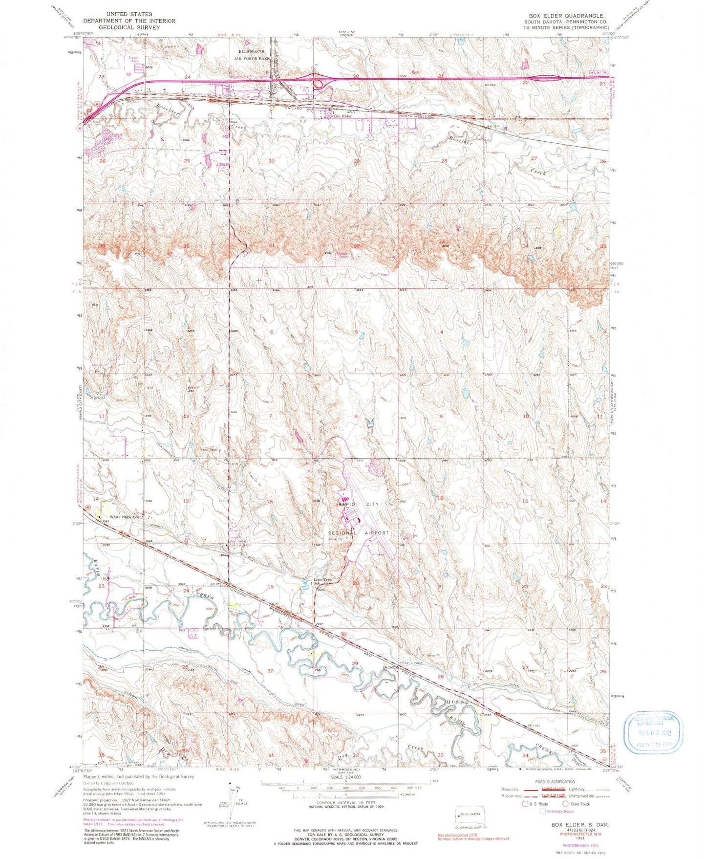
Classic USGS Box Elder South Dakota 7.5'x7.5' Topo Map
Couldn't load pickup availability
Historical USGS topographic quad map of Box Elder in the state of South Dakota. Map scale may vary for some years, but is generally around 1:24,000. Print size is approximately 24" x 27"
This quadrangle is in the following counties: Pennington.
The map contains contour lines, roads, rivers, towns, and lakes. Printed on high-quality waterproof paper with UV fade-resistant inks, and shipped rolled.
Contains the following named places: Black Hills Life Flight, Box Elder, Box Elder Volunteer Fire Department, City of Box Elder, Dan's Airport, Green Valley, Green Valley Census Designated Place, H O Siding, Lone Tree Ditch, Lone Tree School, Medical Air Rescue Company, Murphy Ditch, Rapid City Fire Department - Station 8, Rapid City Regional Airport, Rapid Valley Census Designated Place, Rapid Valley Community Hall, South Side Ditch, Westjet Air Center, White Eagle School, ZIP Code: 57703