MyTopo
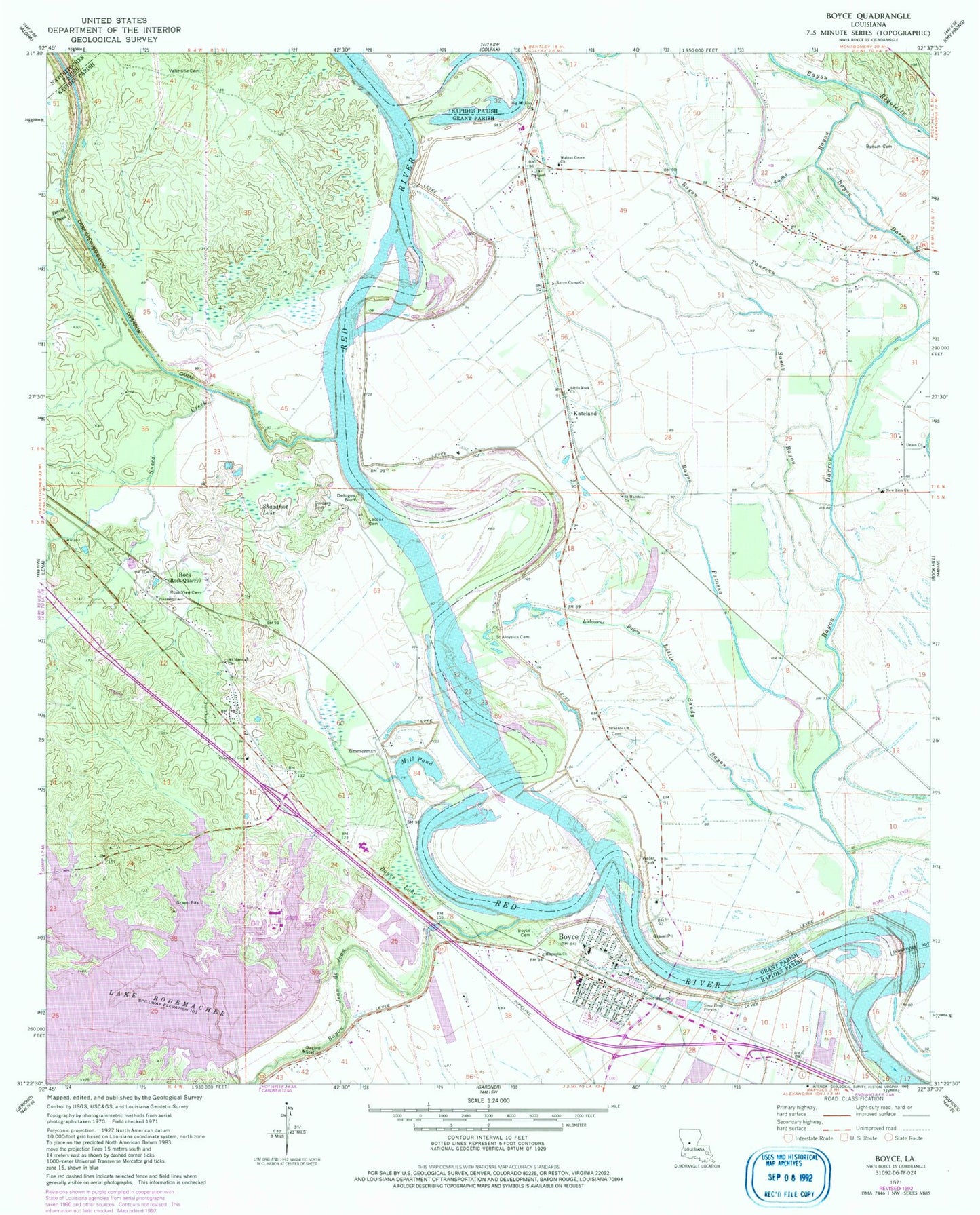
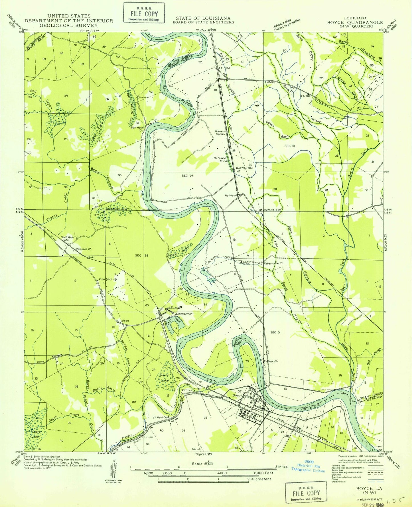
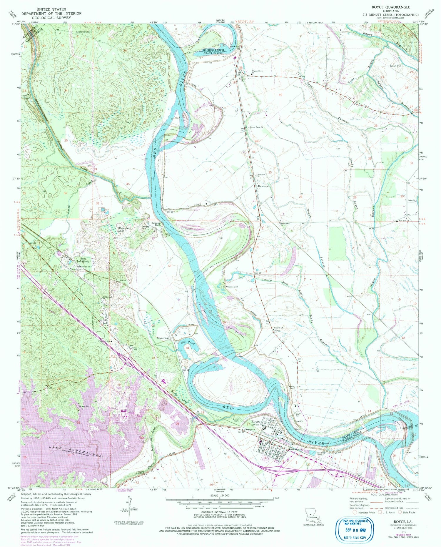
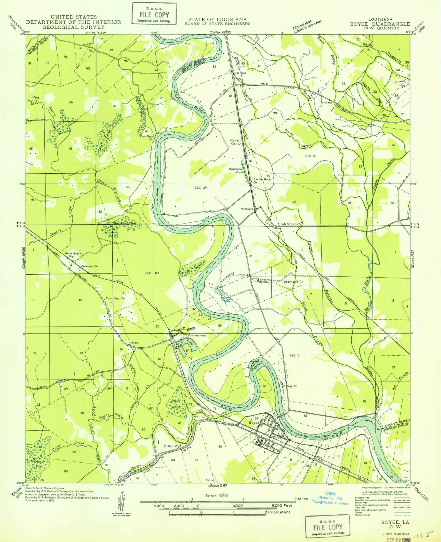
Classic USGS Boyce Louisiana 7.5'x7.5' Topo Map
Couldn't load pickup availability
Historical USGS topographic quad map of Boyce in the state of Louisiana. Map scale may vary for some years, but is generally around 1:24,000. Print size is approximately 24" x 27"
This quadrangle is in the following counties: Grant, Natchitoches, Rapides.
The map contains contour lines, roads, rivers, towns, and lakes. Printed on high-quality waterproof paper with UV fade-resistant inks, and shipped rolled.
Contains the following named places: Bayou Darrow, Bayou Jean De Jean, Bayou Patassa, Bayou Taureau, Big Mount Zion Baptist Church, Boggy Bayou, Boyce, Boyce Branch, Boyce Cemetery, Boyce Elementary School, Boyce Lake, Boyce Police Department, Boyce Volunteer Fire Department, Bush Lake, Bynum Cemetery, Cane River-Red Bayou Diversion Canal, Carnahan Creek, Castor Lake, Church of God, Clear Lake, Cotile Ward Seven, Davis Creek, Deloges Bluff, Deloges Cemetery, Fairmount, Good Hope Baptist Church, Griffth Creek, Irish Ditch, Israelite Church, Kateland, Kateland Pond, Keystone Farms Airport, Labourne Bayou, Lacour Cemetery, Lake Rodemacher, Little Rock Baptist Church, Little Sandy Bayou, Long Bridge Lake, Magnolia Church, McNeely Cut-Off, Mill Pond, Mount Herman Church, Mount Olive School, New Zion Baptist Church, Northwood High School, Oasis, Parish Governing Authority District 3, Pleasant Church, Pontfield Bend, Prospect Church, Raven Camp Baptist Church, Raven Camp School, Ravencamp, Rock, Rodemacher, Rose View Cemetery, Saint Aloysius Cemetery, Saint Mathias School, Saint Matthias Church, Saint Paul Church, Saint Thomas Church, Sams Bayou, Sandy Bayou, Shagafoot Lake, Sneed Creek, Tabernacle Church, Town of Boyce, Union Church, Valentine Cemetery, Village Church, Walnut Grove Church, Wettermark High School, White Branch, Zimmerman, Zion Church, Zion Harp Church


