MyTopo
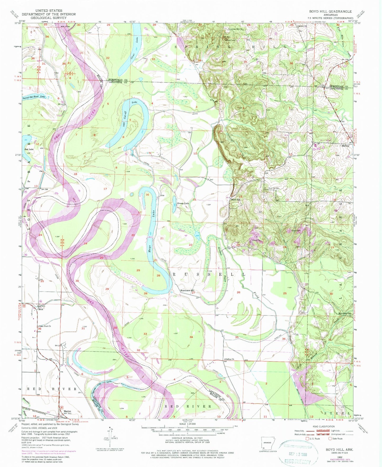
Classic USGS Boyd Hill Arkansas 7.5'x7.5' Topo Map
Couldn't load pickup availability
Historical USGS topographic quad map of Boyd Hill in the state of Arkansas. Typical map scale is 1:24,000, but may vary for certain years, if available. Print size: 24" x 27"
This quadrangle is in the following counties: Hempstead, Lafayette, Miller.
The map contains contour lines, roads, rivers, towns, and lakes. Printed on high-quality waterproof paper with UV fade-resistant inks, and shipped rolled.
Contains the following named places: Boyd Hill Cemetery, Calvary Church, Common Hill Church, Galilee Church, Hurricane Hill, Kenney Creek, Kitchen Bayou, Lane Fort Church, Beck, Mayton, Township of Russell, Boyd Hill, Clear Lake, Cypress City Lake, Grassy Lake, Mays Lake, Red Lake, 1927 Cut-off Lake, Bois D'Arc Creek, Boyd Hill, Moore Lake Dam, Moore Lake


