MyTopo
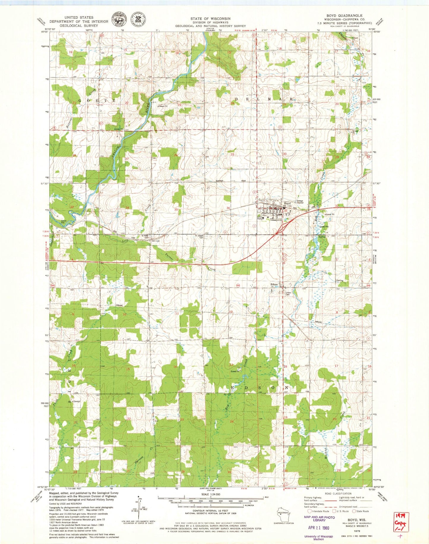
Classic USGS Boyd Wisconsin 7.5'x7.5' Topo Map
Couldn't load pickup availability
Historical USGS topographic quad map of Boyd in the state of Wisconsin. Map scale may vary for some years, but is generally around 1:24,000. Print size is approximately 24" x 27"
This quadrangle is in the following counties: Chippewa.
The map contains contour lines, roads, rivers, towns, and lakes. Printed on high-quality waterproof paper with UV fade-resistant inks, and shipped rolled.
Contains the following named places: Boyd, Boyd Early Learning Center, Boyd Edson Delmar Volunteer Fire Department Ambulance and Rescue, Boyd Police Department, Boyd Post Office, Boyd Wastewater Treatment Facility, Danielson School, Delmar Center School, Edson, Liberty Hill School, Lotz Creek, Lotz Park, McKinley School, Popple Grove School, Saint Joseph Cemetery, Saint Peter Cemetery, Saint Peters Lutheran Church, Sherman School, Slaughterhouse Creek, Town of Delmar, Town of Edson, Turner Creek, Union Cemetery, Victory School, Village of Boyd, ZIP Code: 54726