MyTopo
Classic USGS Boyer Creek Illinois 7.5'x7.5' Topo Map
Couldn't load pickup availability
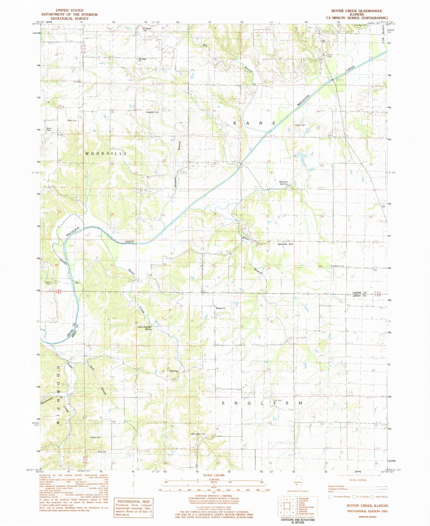
Historical USGS topographic quad map of Boyer Creek in the state of Illinois. Map scale is 1:24000. Print size is approximately 24" x 27"
This quadrangle is in the following counties: Greene, Jersey.
The map contains contour lines, roads, rivers, towns, and lakes. Printed on high-quality waterproof paper with UV fade-resistant inks, and shipped rolled.
Contains the following named places: Belt Salem Cemetery, Bethany Baptist Church, Borlin Cemetery, Boyer Creek, Bryan School (historical), Busch Cemetery, Cannedy Cemetery, Central School (historical), Conwayville (historical), Dark Hollow, Dobson Hollow, Dodson Spring, Drapper Branch, Dry Branch, Erwin Cemetery, Fremont School (historical), Fry Cemetery, Haushalter Creek, Haushalter Hollow, Hetzel Cemetery, Hickory Log School (historical), Houseman Cemetery, Jersey County Farm (historical), John Dunham Spring, Lax Cemetery, Mid City (historical), Mills Cemetery, Mount Gilead Cemetery, Mount Gilead Church, Mount Gilead School (historical), Newbury School (historical), Parker Cemetery, Pleasant Grove School (historical), Reynolds Cemetery, Rusk Cemetery, Shakerag School (historical), Shanks Hill, Sunnyview School (historical), Sunrise School (historical), Thompson Cemetery, Township of English, Township of Kane, Washington School (historical), West Lake Country Club Lake, West Lake Country Club Lake Dam, Wines Branch


