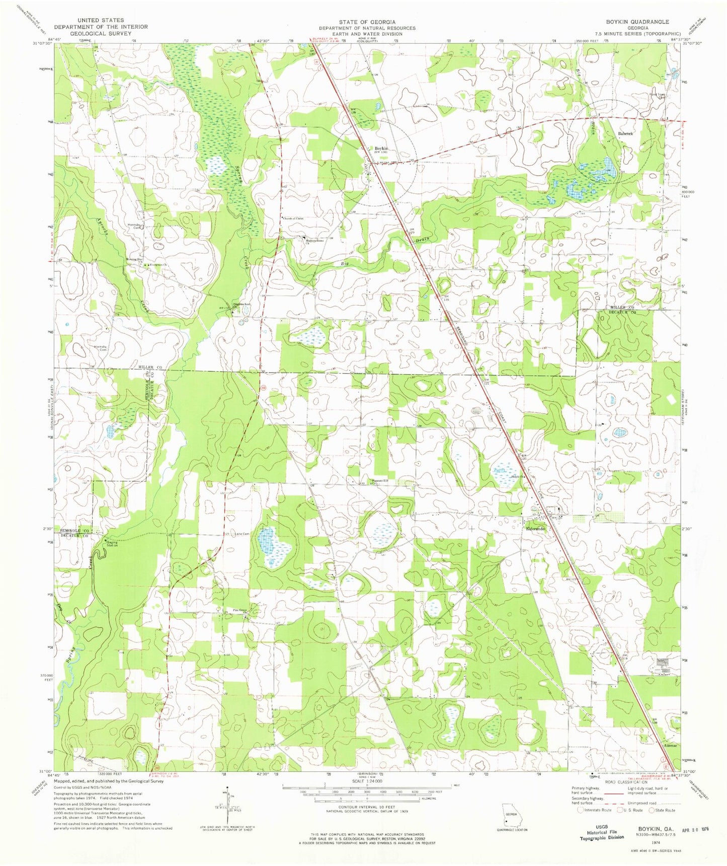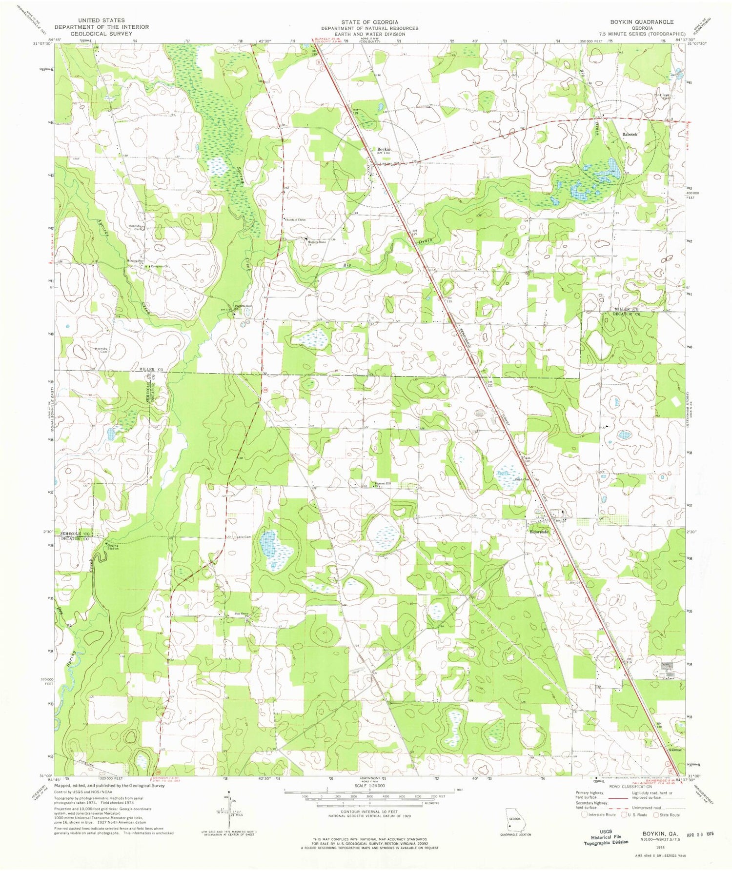
MyTopo
Classic USGS Boykin Georgia 7.5'x7.5' Topo Map
Couldn't load pickup availability
Historical USGS topographic quad map of Boykin in the state of Georgia. Map scale may vary for some years, but is generally around 1:24,000. Print size is approximately 24" x 27"
This quadrangle is in the following counties: Decatur, Miller, Seminole.
The map contains contour lines, roads, rivers, towns, and lakes. Printed on high-quality waterproof paper with UV fade-resistant inks, and shipped rolled.
Contains the following named places: Aycocks Creek, Babcock, Big Drain, Boykin, Boykin Census Designated Place, Boykin Church Cemetery, Boykin Church of God, Church of Christ, Cowart Pond, Dry Creek, Durham Park, Eldorendo, Eldorendo Baptist Church, Evergreen Church, Full Ford Pond, Holder Pond, Hornsby Cemetery, Jones-Babcock School, Lane Cemetery, Miller County Volunteer Fire Department Station 2 Babcock Volunteer Fire Department, Morning Star Church, Mothers Home Cemetery, Mothers Home Church, Oak Grove Cemetery, Pilgrims Rest Church, Pine Grove Church, Pleasant Hill Church, Pond Town Cemetery, Scarborough Cemetery, Shiloh Church, Twilight, Whites Bridge Cemetery