MyTopo
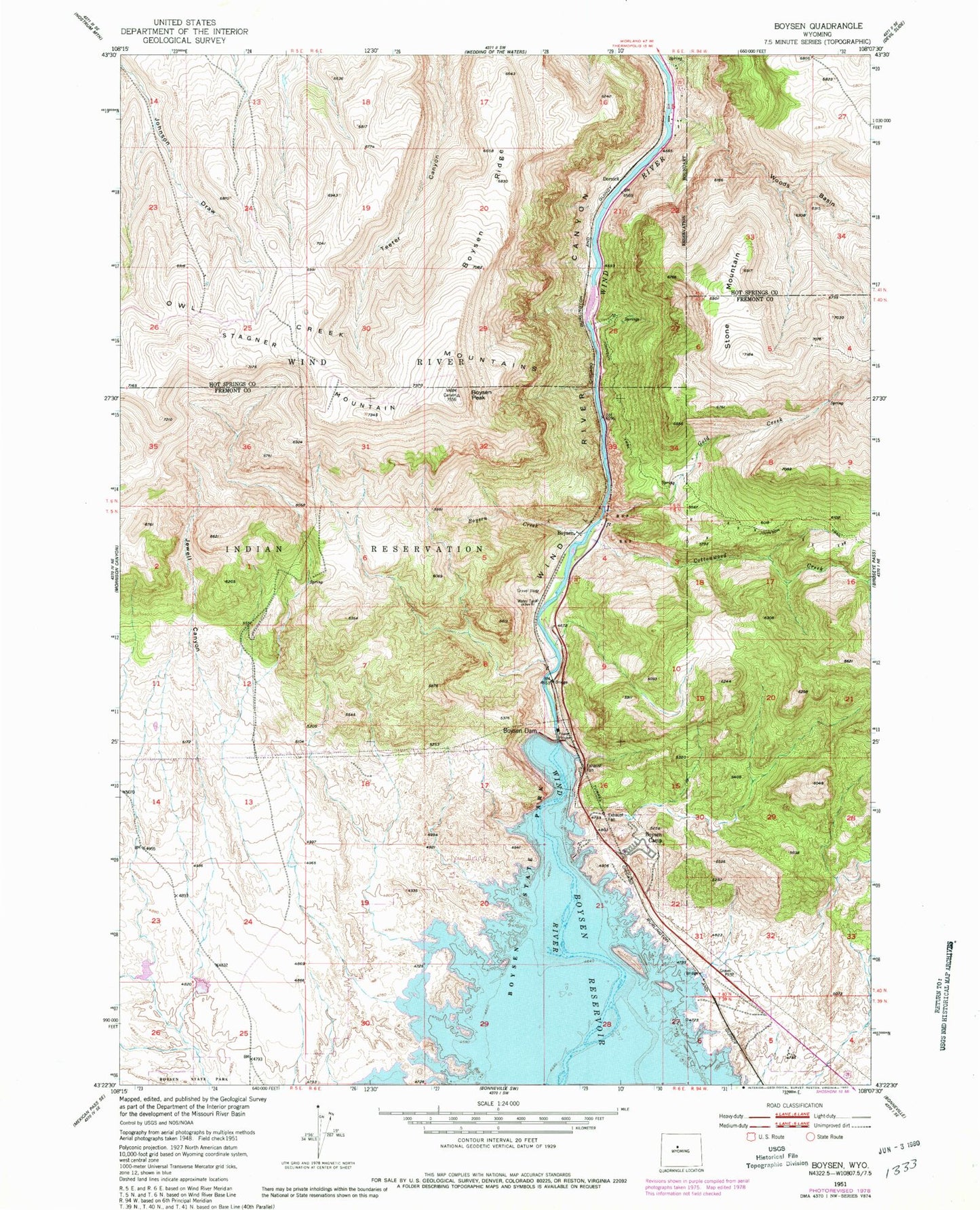
Classic USGS Boysen Wyoming 7.5'x7.5' Topo Map
Couldn't load pickup availability
Historical USGS topographic quad map of Boysen in the state of Wyoming. Map scale may vary for some years, but is generally around 1:24,000. Print size is approximately 24" x 27"
This quadrangle is in the following counties: Fremont, Hot Springs.
The map contains contour lines, roads, rivers, towns, and lakes. Printed on high-quality waterproof paper with UV fade-resistant inks, and shipped rolled.
Contains the following named places: Boysen, Boysen Camp, Boysen Creek, Boysen Dam, Boysen Peak, Boysen Ridge, Cottonwood Creek, Dornick, Gold Creek, Jewell Canyon, Johnson Trail, KFNE-TV (Riverton), Stagner Mountain, Stone Mountain, Wind River Canyon Number One Mine, Wind River Canyon Number Two Mine, Woods Basin