MyTopo
Classic USGS Boz Texas 7.5'x7.5' Topo Map
Couldn't load pickup availability
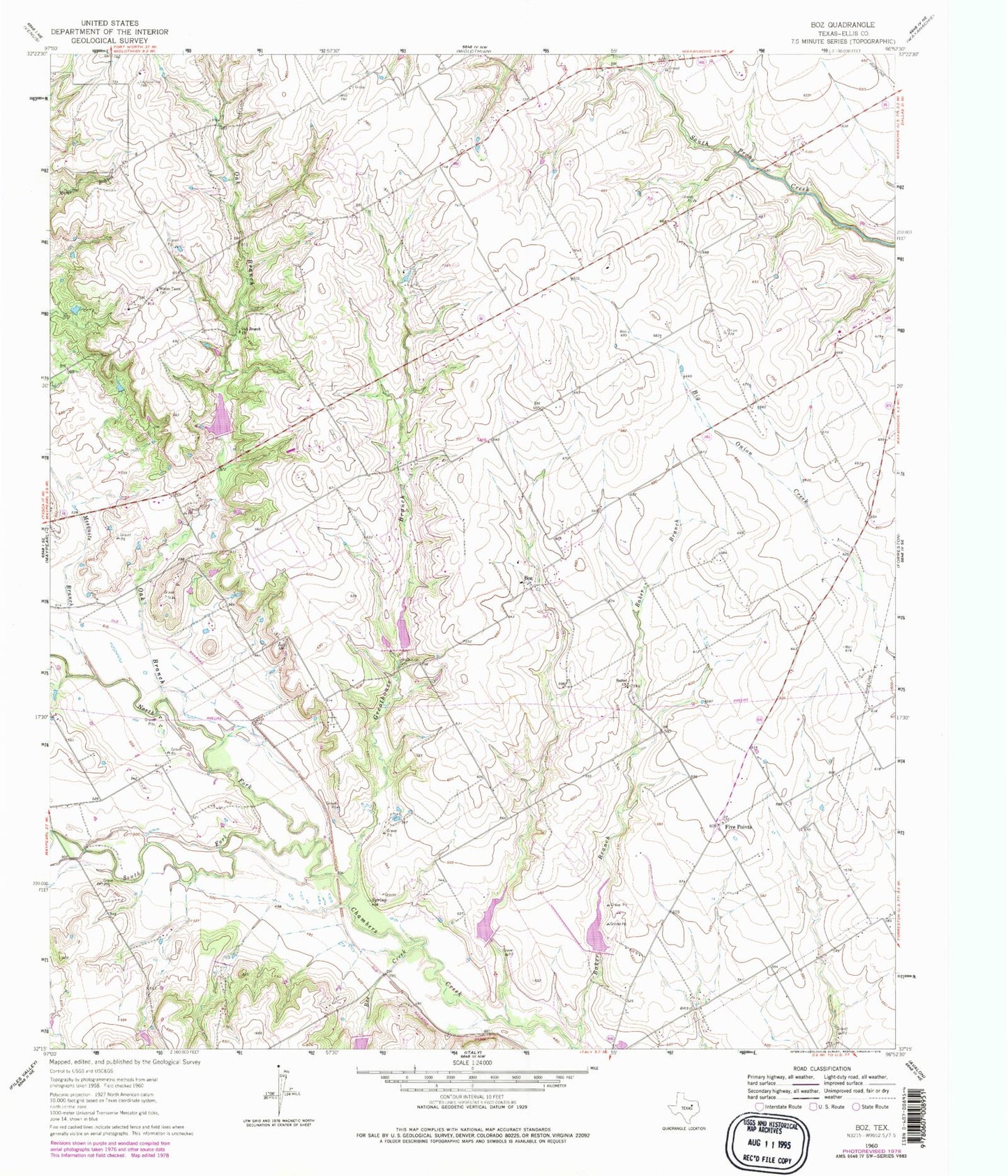
Historical USGS topographic quad map of Boz in the state of Texas. Map scale may vary for some years, but is generally around 1:24,000. Print size is approximately 24" x 27"
This quadrangle is in the following counties: Ellis.
The map contains contour lines, roads, rivers, towns, and lakes. Printed on high-quality waterproof paper with UV fade-resistant inks, and shipped rolled.
Contains the following named places: Baker Branch, Bee Creek, Bethel Church, Boz, Circle R Airport, Five Points, Greathouse Branch, Greathouse Cemetery, Maypearl Division, North Fork Chambers Creek, Oak Branch, Oak Branch Church, Soil Conservation Service Site 56 Dam, Soil Conservation Service Site 56 Reservoir, Soil Conservation Service Site 790 Dam, Soil Conservation Service Site 790 Reservoir, Soil Conservation Service Site 79b Dam, Soil Conservation Service Site 79b Reservoir, Soil Conservation Service Site 80 Dam, Soil Conservation Service Site 80 Reservoir, Soil Conservation Service Site 81 Dam, Soil Conservation Service Site 81 Reservoir, Soil Conservation Service Site 82 Dam, Soil Conservation Service Site 82 Reservoir, Soil Conservation Service Site 84 Dam, Soil Conservation Service Site 84 Reservoir, South Fork Chambers Creek, ZIP Code: 75167


