MyTopo
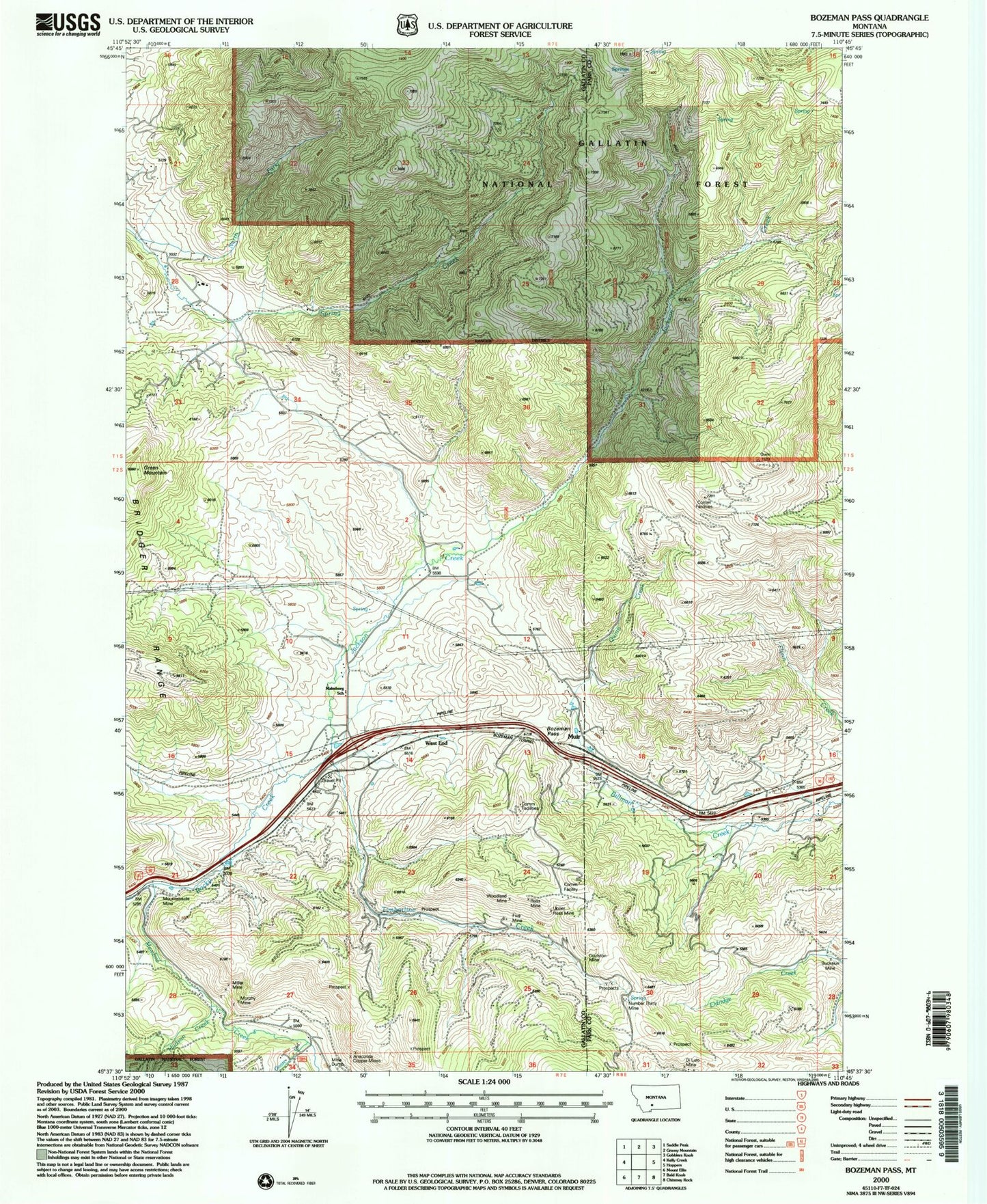
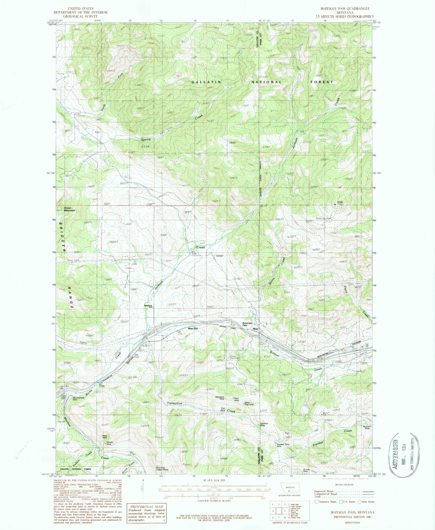
Classic USGS Bozeman Pass Montana 7.5'x7.5' Topo Map
Couldn't load pickup availability
Historical USGS topographic quad map of Bozeman Pass in the state of Montana. Map scale may vary for some years, but is generally around 1:24,000. Print size is approximately 24" x 27"
This quadrangle is in the following counties: Gallatin, Park.
The map contains contour lines, roads, rivers, towns, and lakes. Printed on high-quality waterproof paper with UV fade-resistant inks, and shipped rolled.
Contains the following named places: Anaconda Copper Mines, Bozeman Pass, Bozeman Pass Historical Marker, Bozeman Tunnel, Buckskin Mine, Coulston, Coulston Mine, Di Lulo Mine, Doyle Cabin, Five Mine, Goose Creek, Green Mountain, Hudson Creek, Jackson Creek, KCTZ-TV (Bozeman), KUUB-FM (Bozeman), KYBS-FM (Livingston), Malmborg School, Meadow Creek, Meadow Creek School, Miller Mine, Mountain Side, Mountainside Mine, Muir, Muir Cemetery, Muir Post Office, Muir School, Murphy Mine, North Fork Spring Creek, Number Four Mine, Number Thirty Mine, Quinn Creek, Radke Sawmill, Ross Mine, Shadoan Sawmill, Stinking Water Mine, Storrs, Storrs Mine, Storrs Post Office, Storrs School, Timberline, Timberline Cemetery, Timberline Creek, Timberline Post Office, Upper Ross Mine, Vater's Cemetery, Vaters Post Office, Vaters School, West End, Woodland Mine