MyTopo
Classic USGS Braae Wyoming 7.5'x7.5' Topo Map
Couldn't load pickup availability
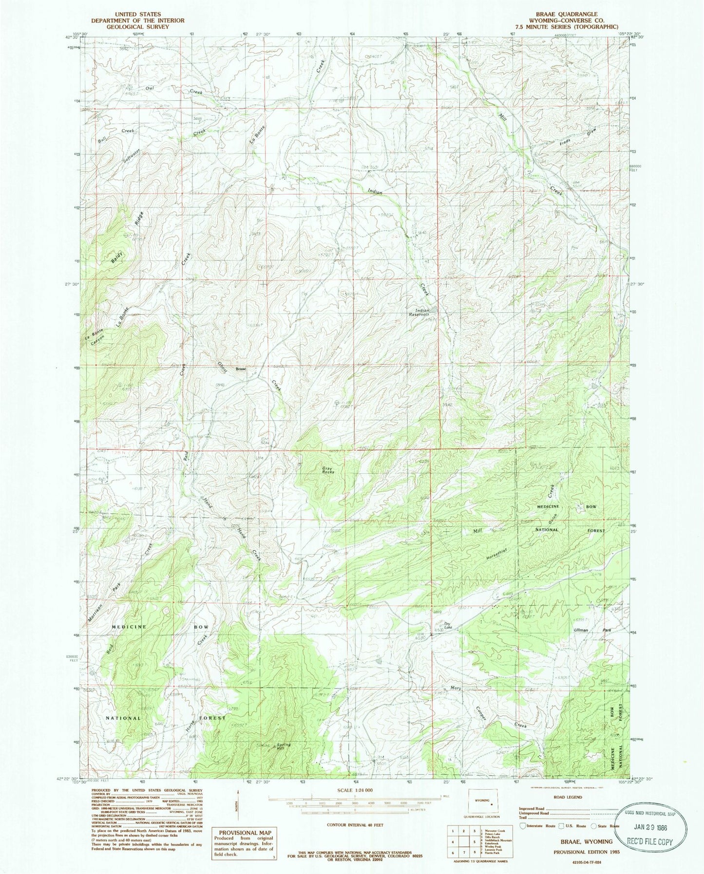
Historical USGS topographic quad map of Braae in the state of Wyoming. Map scale may vary for some years, but is generally around 1:24,000. Print size is approximately 24" x 27"
This quadrangle is in the following counties: Converse.
The map contains contour lines, roads, rivers, towns, and lakes. Printed on high-quality waterproof paper with UV fade-resistant inks, and shipped rolled.
Contains the following named places: Braae, Bull Creek, Cooper Ranch, Dunn Ranch, Dunn School, Esterbrook Census Designated Place, Freds Draw, Ghost Creek, Gray Rocks, Hand in Hand Creek, Horse Creek, Horsethief Gulch, Indian Creek, Indian Number 1 Dam, Indian Reservoir Number 1, La Bonte Canyon, La Bonte Ranch, Morton School, Newell Cemetery, Newell Ranch, Owl Creek, Pexton Number 1 Dam, Pexton Reservoir Number 1, Reid Creek, Rutherford Creek, Rutherford Ranch, Softwater Creek, Ullman Park