MyTopo
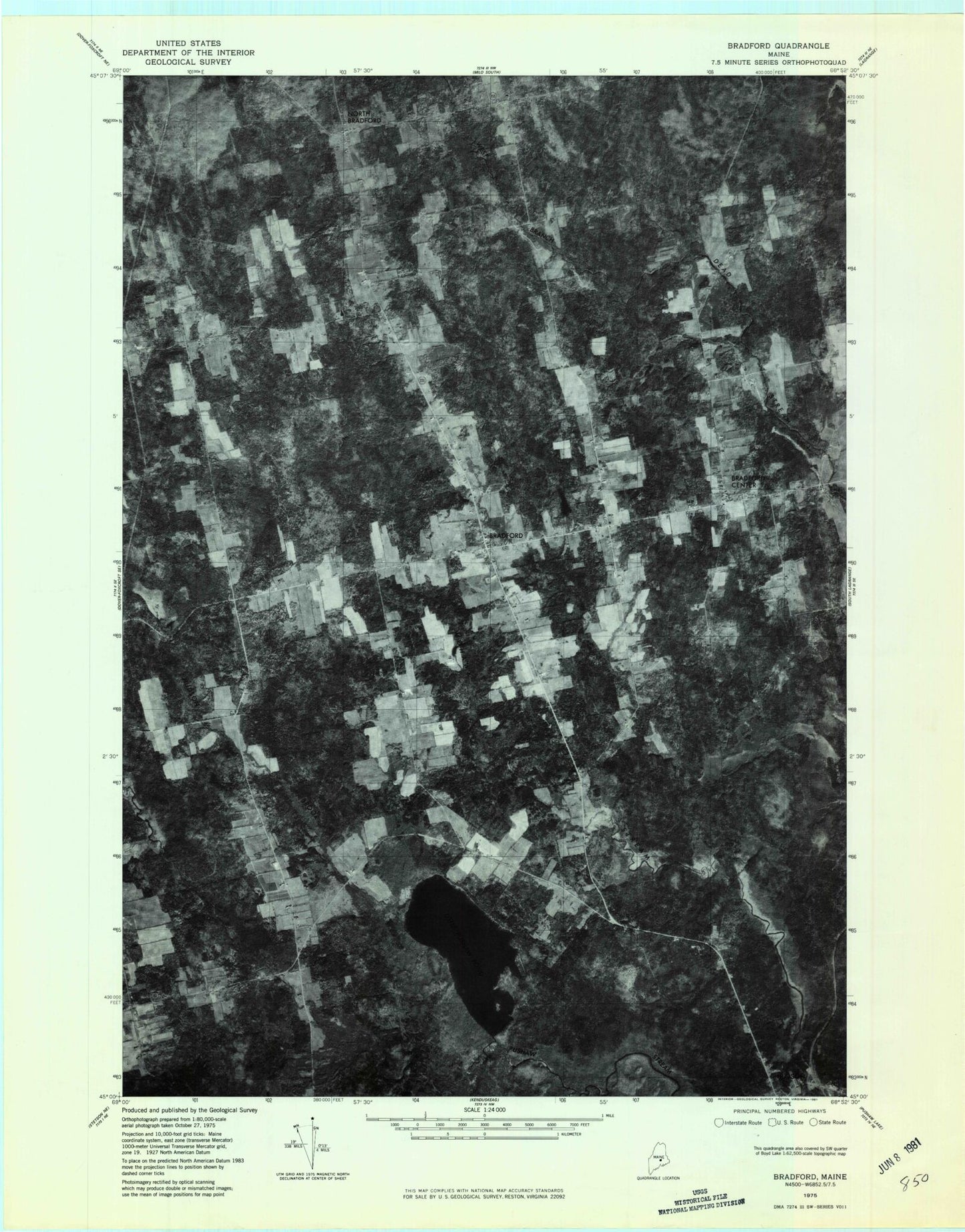
Classic USGS Bradford Maine 7.5'x7.5' Topo Map
Couldn't load pickup availability
Historical USGS topographic quad map of Bradford in the state of Maine. Map scale may vary for some years, but is generally around 1:24,000. Print size is approximately 24" x 27"
This quadrangle is in the following counties: Penobscot, Piscataquis.
The map contains contour lines, roads, rivers, towns, and lakes. Printed on high-quality waterproof paper with UV fade-resistant inks, and shipped rolled.
Contains the following named places: Bear Brook, Beaver Brook, Bradford, Bradford Baptist Church, Bradford Center, Bradford Elementary School, Bradford Emergency Medical Ambulance Service, Bradford Fire and Rescue Department, Bradford High School, Bradford Post Office, Corner Cemetery, Davis Brook, Forbes Brook, Heartstone Farm Airport, Hillside Cemetery, Hudson, Hudson Brook, Hudson Post Office, Huntington Mill, John B Curtis Free Public Library, Keyser Brook, Little Pushaw Pond, Middle Branch Dead Stream, Mills Cemetery, Mohawk Stream, North Bradford, North Bradford School, Pond Road Cemetery, Town of Bradford, Trask Cemetery, Williams Cemetery, Williams School, ZIP Code: 04410