MyTopo
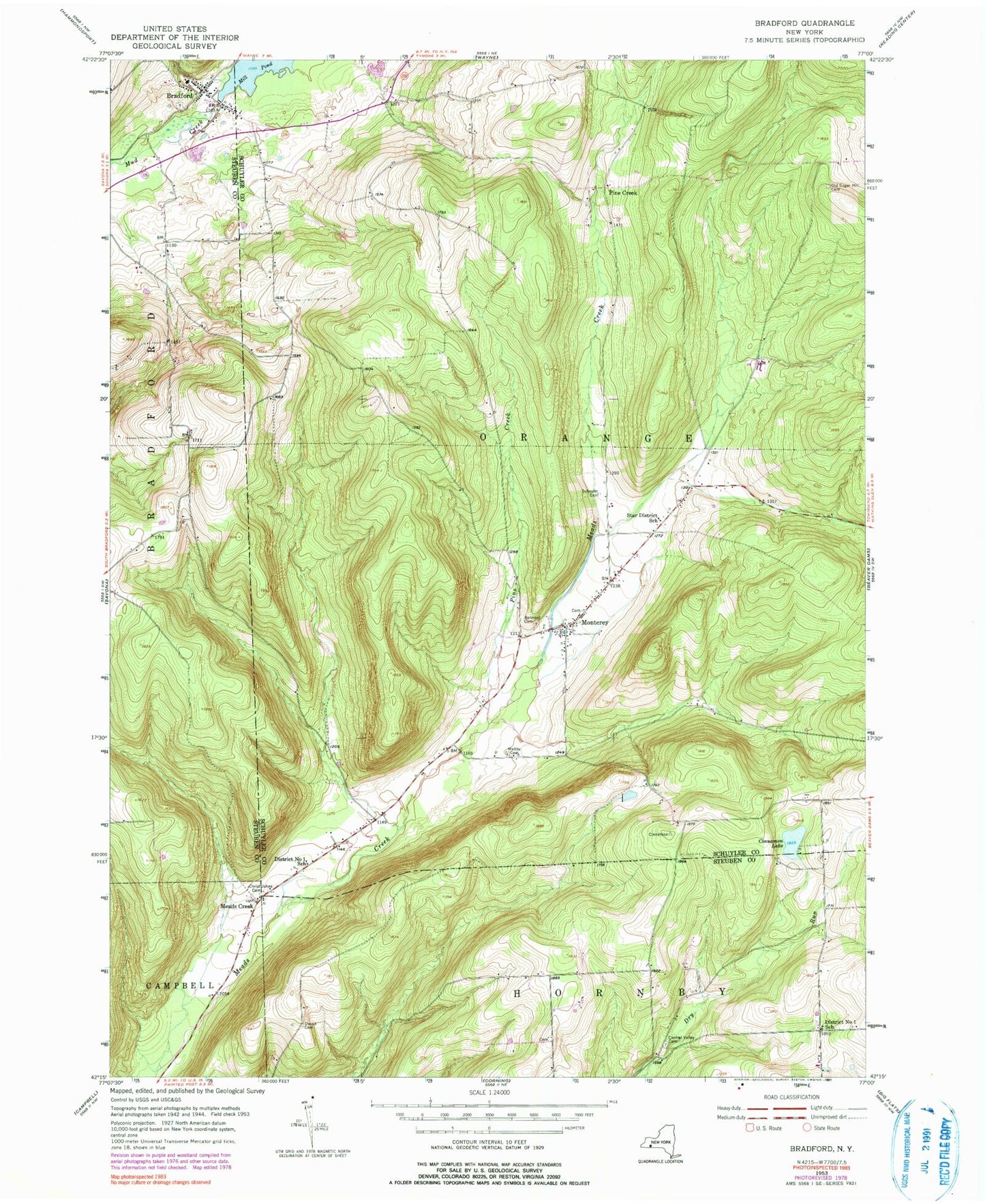
Classic USGS Bradford New York 7.5'x7.5' Topo Map
Couldn't load pickup availability
Historical USGS topographic quad map of Bradford in the state of New York. Typical map scale is 1:24,000, but may vary for certain years, if available. Print size: 24" x 27"
This quadrangle is in the following counties: Schuyler, Steuben.
The map contains contour lines, roads, rivers, towns, and lakes. Printed on high-quality waterproof paper with UV fade-resistant inks, and shipped rolled.
Contains the following named places: Belmont Cemetery, Bradford, Central Valley Cemetery, Christ Johns Cemetery, Cinnamon Lake, District Number 1 School (historical), District Number 1 School (historical), Duvall Cemetery, Maltby Cemetery, Meads Creek, Monterey, Old Sugar Hill Cemetery, Pine Creek, Schuyler Cemetery, Star District School (historical), Pine Creek, Ultralight Flight Farm, Town of Orange, Monterey Cemetery, Rose Hill Farm, Bradford Cemetery, Bradford Baptist Church, Bradford Post Office, Monterey Volunteer Fire Company, Bradford Volunteer Fire Company