MyTopo
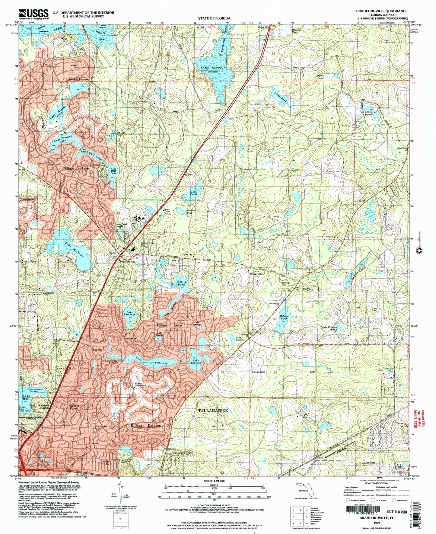
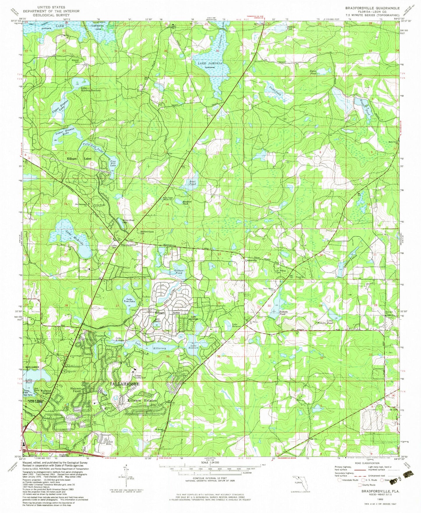
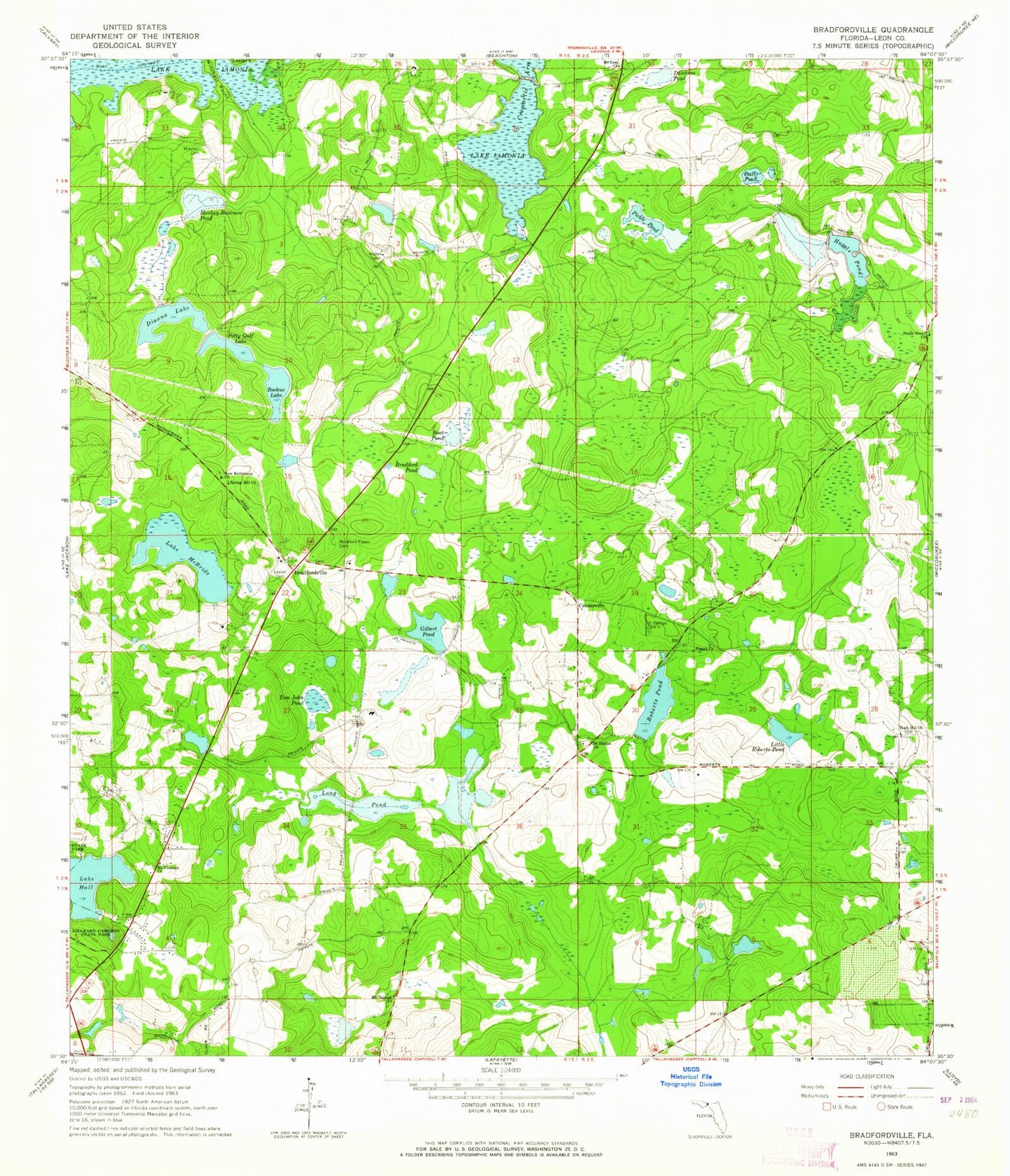
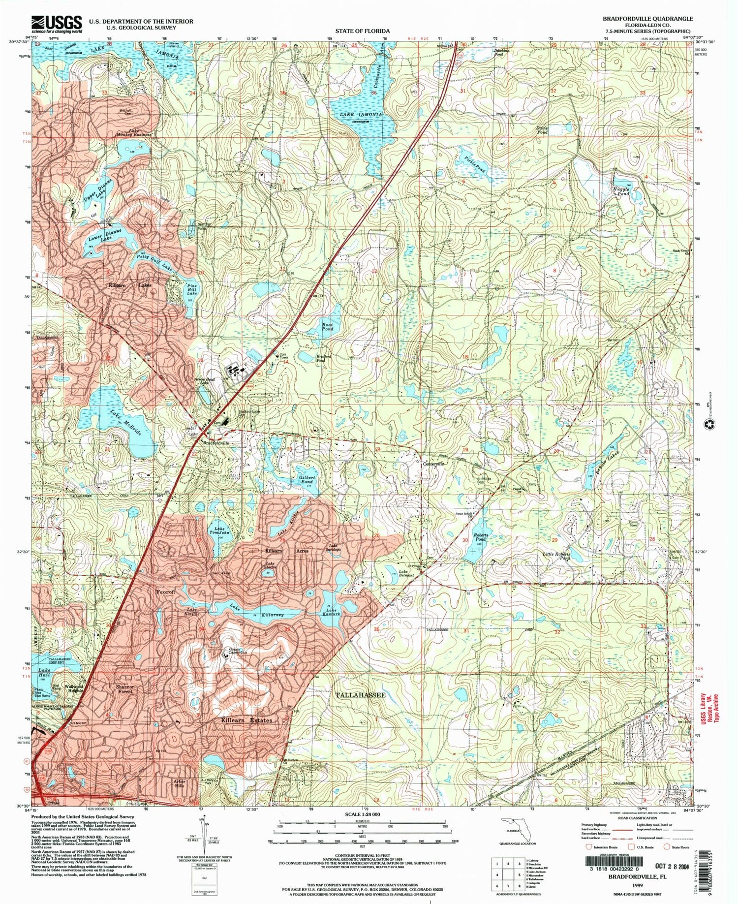
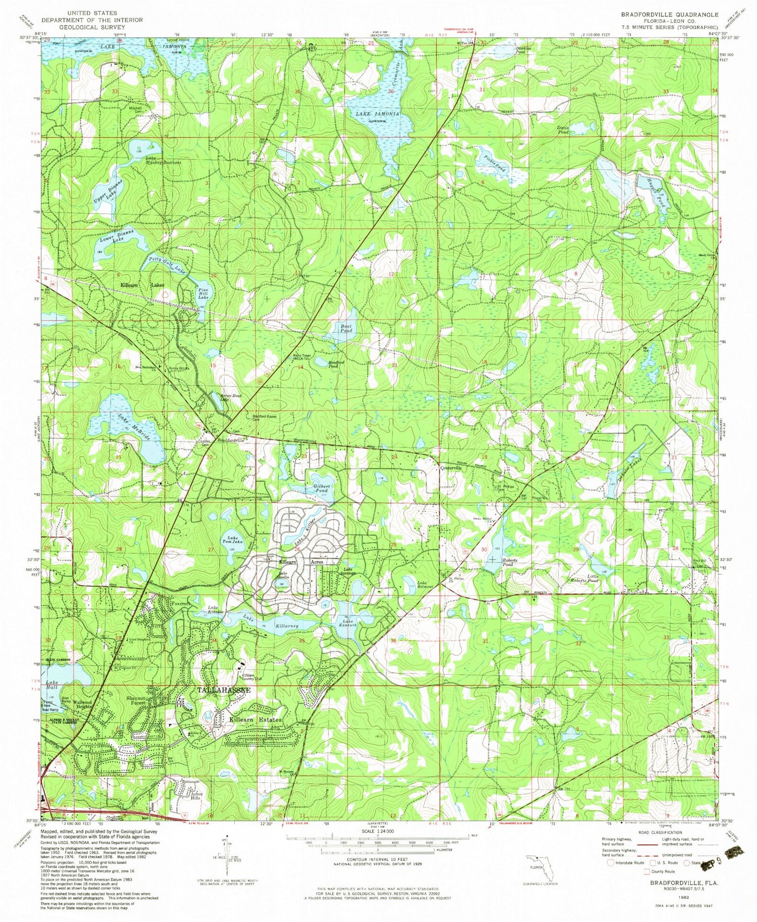
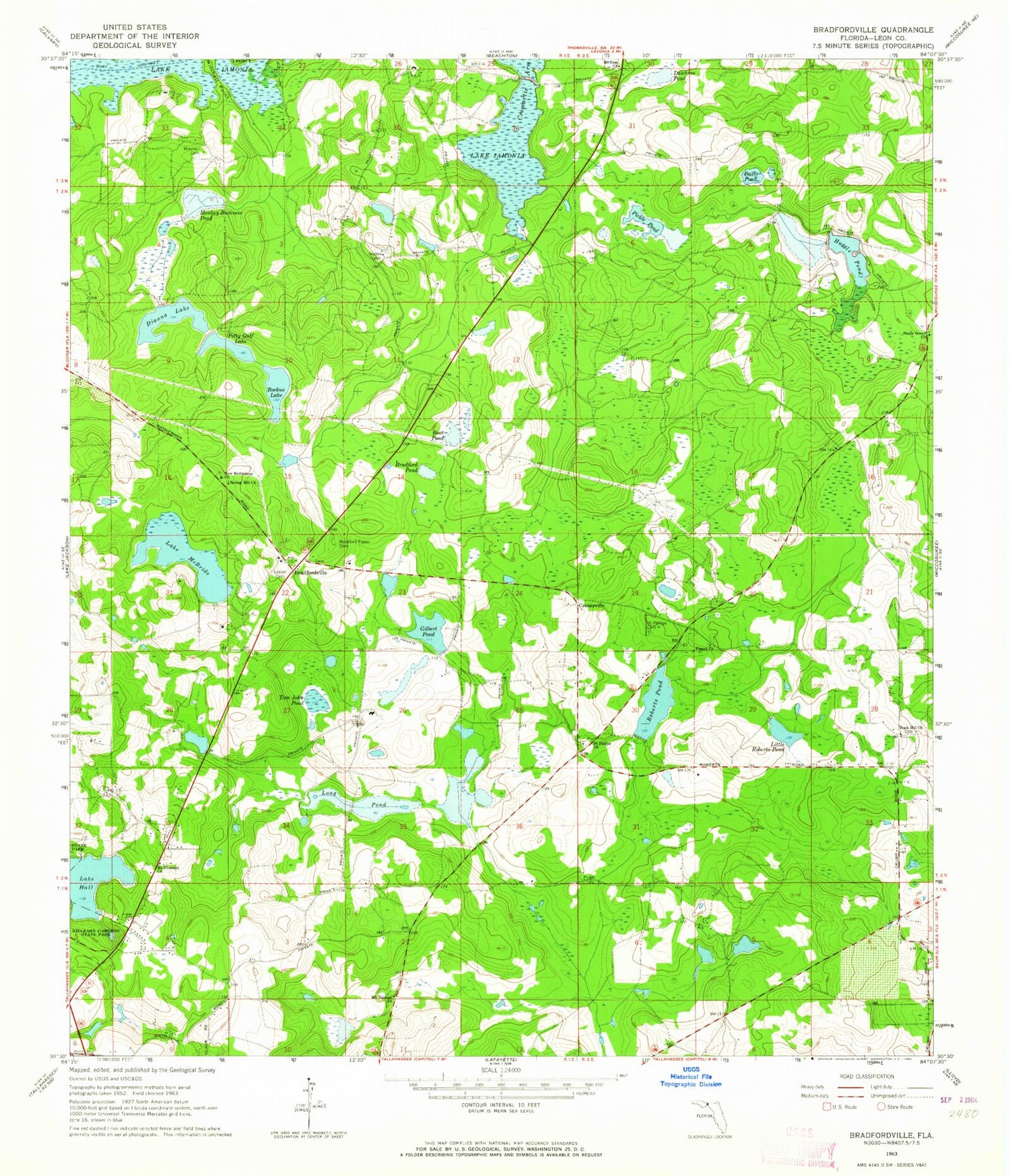
Classic USGS Bradfordville Florida 7.5'x7.5' Topo Map
Couldn't load pickup availability
Historical USGS topographic quad map of Bradfordville in the state of Florida. Map scale may vary for some years, but is generally around 1:24,000. Print size is approximately 24" x 27"
This quadrangle is in the following counties: Leon.
The map contains contour lines, roads, rivers, towns, and lakes. Printed on high-quality waterproof paper with UV fade-resistant inks, and shipped rolled.
Contains the following named places: Boat Pond, Bradford - Eppes Cemetery, Bradford Pond, Bradfordville, Bradfordville Baptist Church, Bradfordville Census Designated Place, Celebration Baptist Church, Centerville, Christian Covenant Community Academy, Cromartie Arm, Davis Pond, Dawkins Pond, Epiphany Lutheran School, Fellowship Presbyterian Church, Gilbert Pond, Huggle Pond, Killearn Lakes Elementary School, Killearn Post Office, Killearn United Methodist Church, Kinder Care Learning Center, Lake Belmont, Lake Hall, Lake Kanturk, Lake Killarney, Lake Killkee, Lake Kinsale, Lake McBride, Lake Monkey Business, Lake Saratoga, Lake Sheelin, Lake Tom John, Lester Cemetery, Little Roberts Pond, Lower Dianne Lake, Mitchell Cemetery, Mount Horbem Church, Mount Horeb Primitive Baptist Church, Mount Pleasant Church, Mount Pleasant Missionary Baptist Church, Mount Zion Church, New Bethlehem Church, New Bethlehem Primitive Baptist Church, Northeast Leon Division, Petty Gulf Lake, Pickle Pond, Pine Hill Lake, Pisgah Church, Roberts Pond, Rock Hill Church, Saint Philips Cemetery, Saint Philips Church, Seventh Day Adventist Church, Shady Grove Church, Spring Hill Church, Tallahassee Christian Assembly, Tallahassee City Fire Department Station 11, Tallahassee City Fire Department Station 7, Testerina Primitive Baptist Church, Tree House Academy, Upper Dianne Lake, WMLO-FM (Havana), Woodland Hall Academy, WTWC-TV (Tallahassee), WTXL-TV (Tallahassee), ZIP Code: 32312
