MyTopo
Classic USGS Bradley NE Arkansas 7.5'x7.5' Topo Map
Regular price
$16.95
Regular price
Sale price
$16.95
Unit price
per
Couldn't load pickup availability
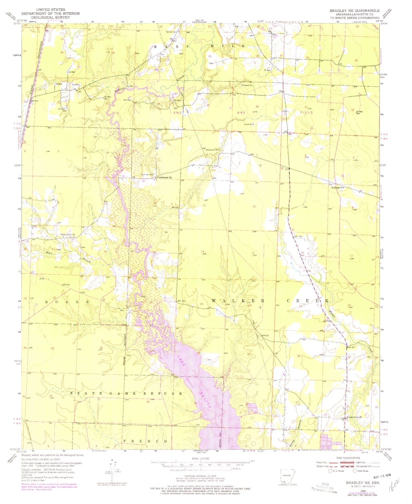
Historical USGS topographic quad map of Bradley NE in the state of Arkansas. Map scale may vary for some years, but is generally around 1:24,000. Print size is approximately 24" x 27"
This quadrangle is in the following counties: Lafayette.
The map contains contour lines, roads, rivers, towns, and lakes. Printed on high-quality waterproof paper with UV fade-resistant inks, and shipped rolled.
Contains the following named places: Crossroads Church, Demoss Cemetery, Forest Grove, Forest Grove Church, Heirs Branch, Lafayette County, McClendon Cemetery, McKamie-Patton Oil and Gas Field, Piney Grove Church, Primitive Cemetery, Saint Jonah Church, Township of Walker Creek