
MyTopo
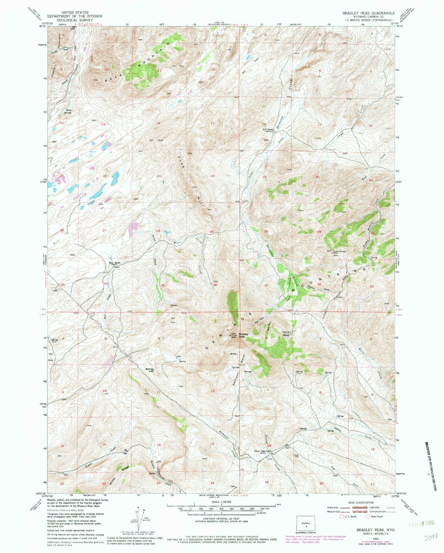
Classic USGS Bradley Peak Wyoming 7.5'x7.5' Topo Map
Couldn't load pickup availability
Historical USGS topographic quad map of Bradley Peak in the state of Wyoming. Map scale is 1:24000. Print size is approximately 24" x 27"
This quadrangle is in the following counties: Carbon.
The map contains contour lines, roads, rivers, towns, and lakes. Printed on high-quality waterproof paper with UV fade-resistant inks, and shipped rolled.
Contains the following named places: Bear Mountain, Boot Creek, Boot Ranch, Bradley Peak, Bradley Peak Mine, Cannon Creek, Denn Wyoming Mine, East Twin Creek, Elkhorn Stage Station (historical), Field House Mine, Fieldhouse Cut, Junk Creek Mines, Junk Hill, Kronkneit Mine, Long Creek Area Three Mine, Long Creek Area Two Mine, Mahoney Lake, Pattison Basin, Penn Mine, R S Ranch, Sand Springs, School Creek, Seminoe Mountains Area Mine, Seminoe Mountains Area Mine, Seminoe Mountains Area Mine, Sunday Morning Mine, Turkey Creek, Twin Creek, West Junk Creek, West Twin Creek


