MyTopo
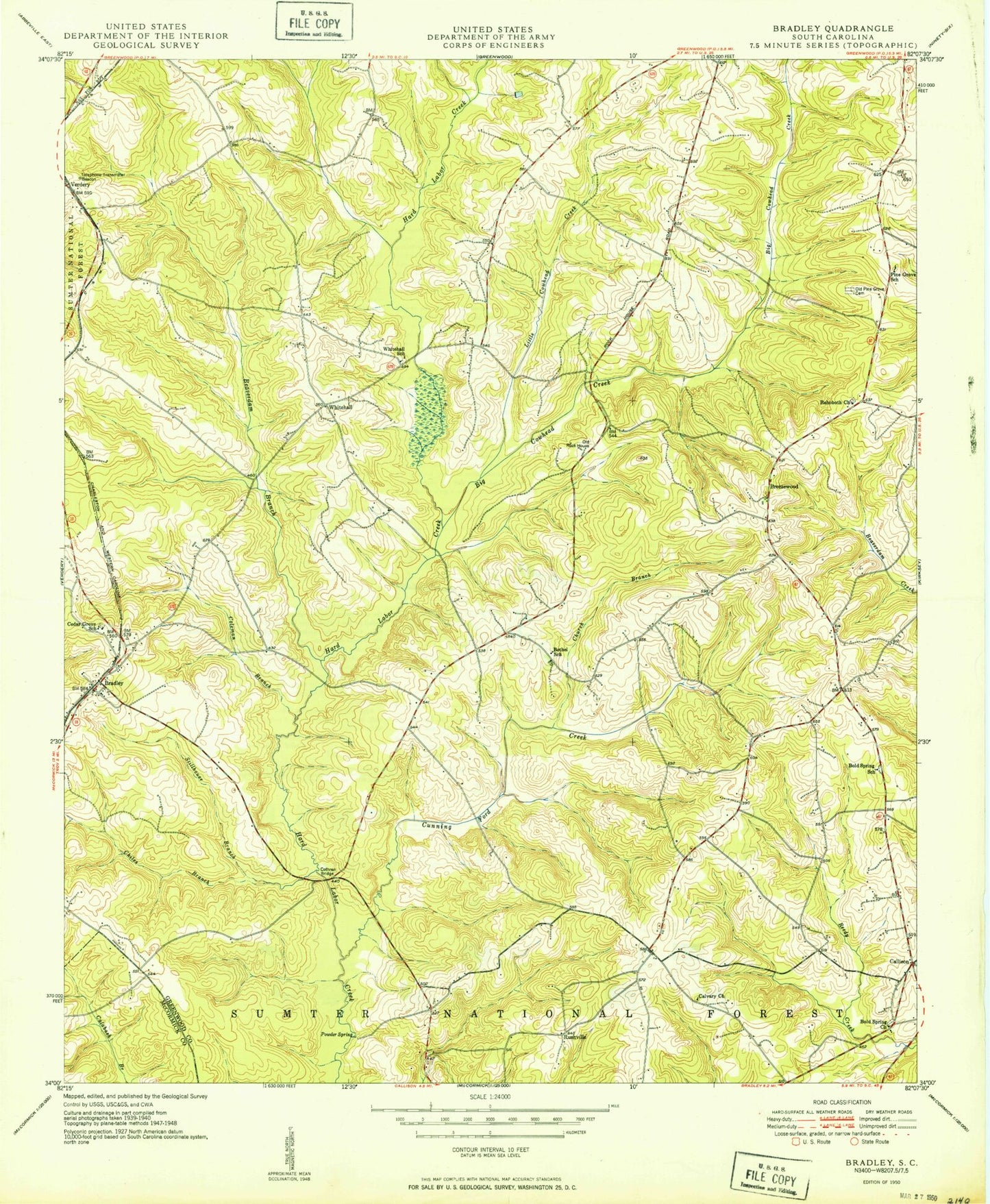
Classic USGS Bradley South Carolina 7.5'x7.5' Topo Map
Couldn't load pickup availability
Historical USGS topographic quad map of Bradley in the state of South Carolina. Map scale may vary for some years, but is generally around 1:24,000. Print size is approximately 24" x 27"
This quadrangle is in the following counties: Greenwood, McCormick.
The map contains contour lines, roads, rivers, towns, and lakes. Printed on high-quality waterproof paper with UV fade-resistant inks, and shipped rolled.
Contains the following named places: Aix, Beaverdam Branch, Bethel Church, Bethel School, Big Cowhead Creek, Bold Spring Church, Bold Spring School, Bradley, Bradley Census Designated Place, Breezewood, Callison, Callison Fire Department - Greenwood County Station 90, Calvary Church, Cedar Grove Cemetery, Cedar Grove Church, Cedar Grove School, Chiles Branch, Church Branch, Civilian Conservation Corps Camp F-7, Coleman Branch, Cothran Bridge, Cunning Ford Creek, Laco, Laniers Store, Little Cowhead Creek, Old Pine Grove Cemetery, Old Rock House, Pine Grove Church, Pine Grove School, Powder Spring, Promised Land School, Rehoboth Church, Rushville, Rushville Cemetery, South Carolina Noname 24011 D-1266 Dam, South Carolina Noname 24017 D-1271 Dam, Stillhouse Branch, Troy Division, Union School, United States Forest Service Bradley Work Center, Verdery, Whitehall, Whitehall Church, Whitehall School, ZIP Code: 29819