MyTopo
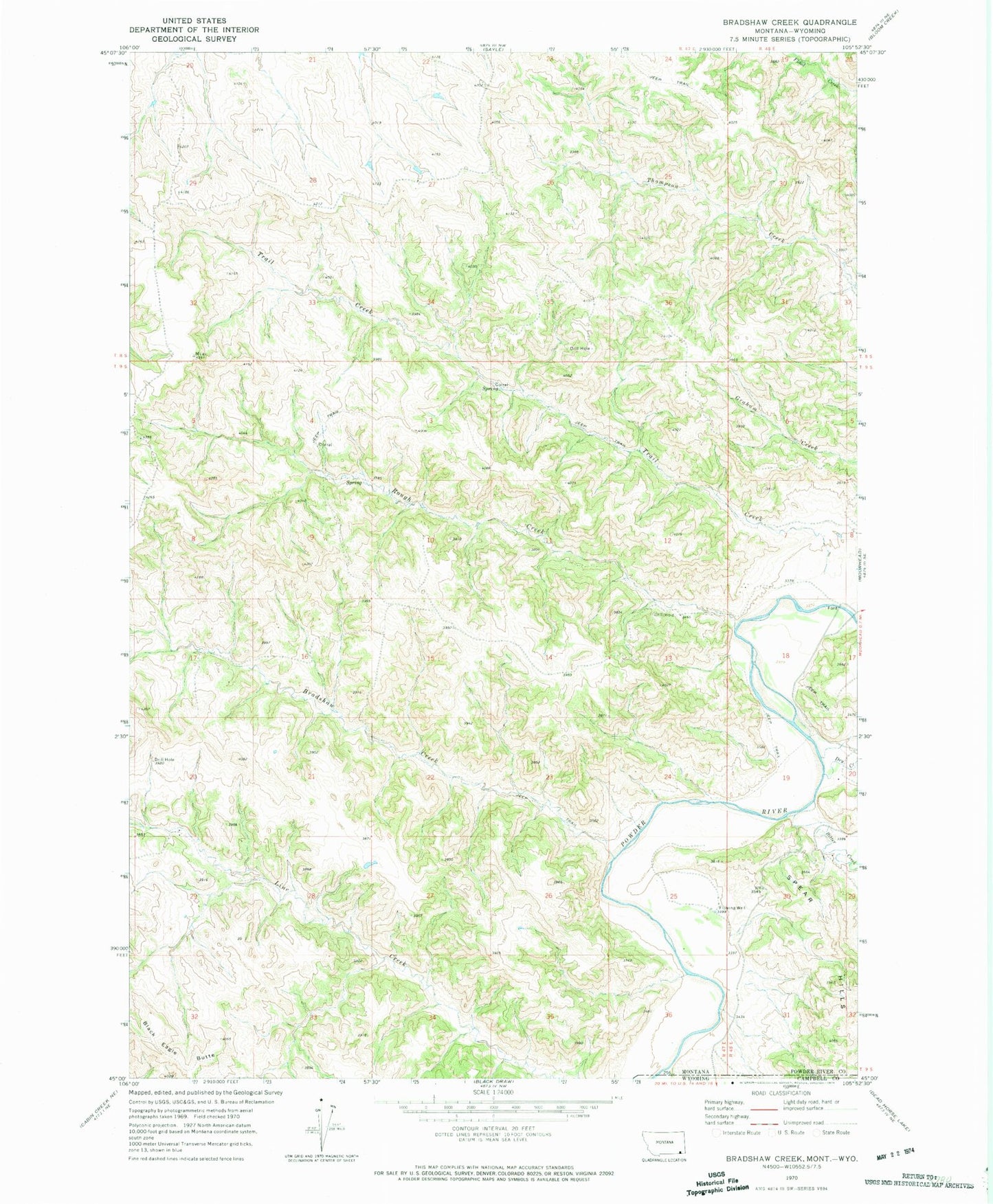
Classic USGS Bradshaw Creek Montana 7.5'x7.5' Topo Map
Regular price
$16.95
Regular price
Sale price
$16.95
Unit price
per
Couldn't load pickup availability
Historical USGS topographic quad map of Bradshaw Creek in the state of Montana. Map scale may vary for some years, but is generally around 1:24,000. Print size is approximately 24" x 27"
This quadrangle is in the following counties: Campbell, Powder River.
The map contains contour lines, roads, rivers, towns, and lakes. Printed on high-quality waterproof paper with UV fade-resistant inks, and shipped rolled.
Contains the following named places: 04N47E28CCDB01 Well, 08S48E19DA__01 Well, 09S48E07BC__01 Well, Bitter Creek, Black Eagle Butte, Bradshaw Creek, Dry Creek, Rough Creek, Spear Hills, Timber Creek, Trail Creek