MyTopo
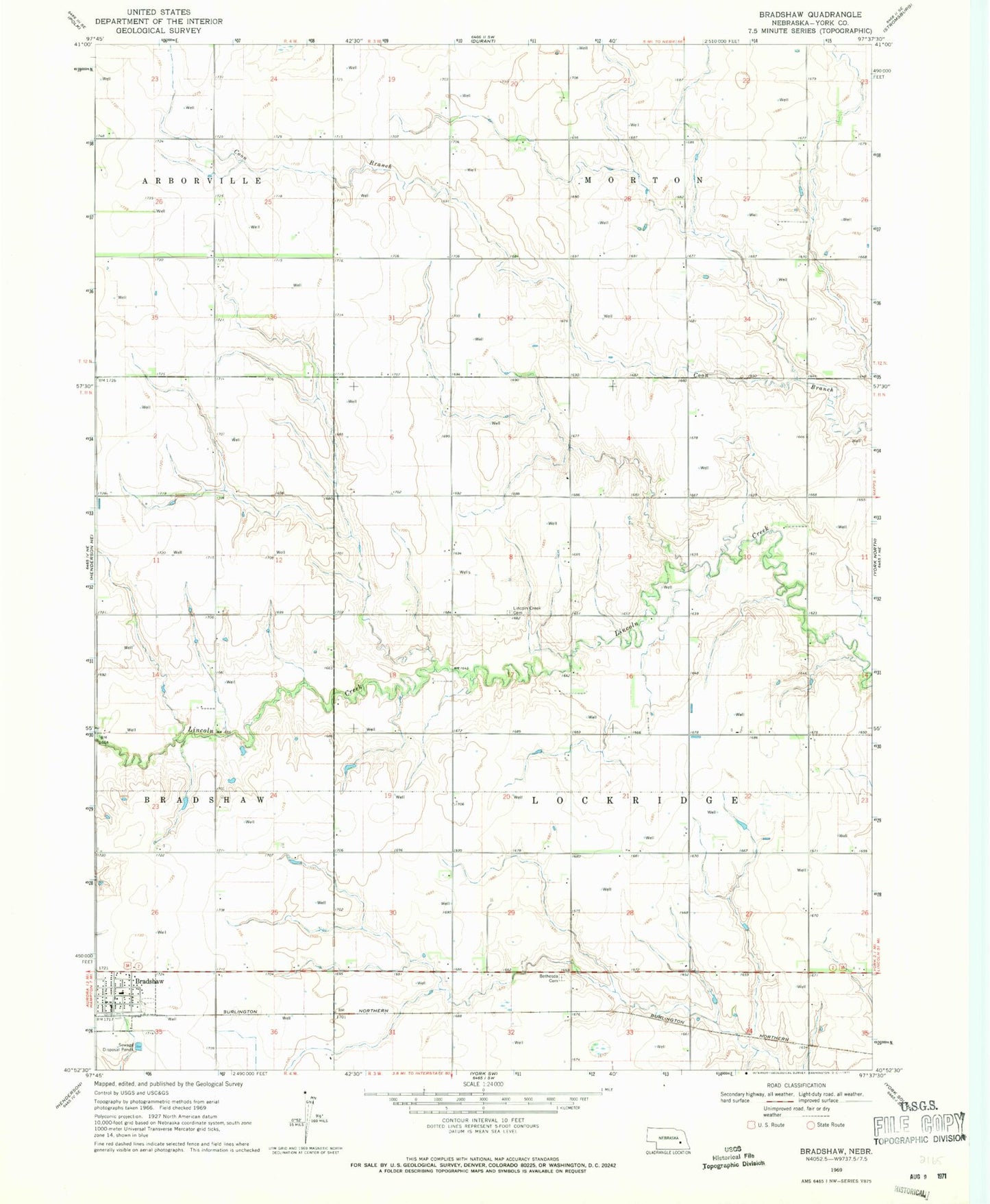
Classic USGS Bradshaw Nebraska 7.5'x7.5' Topo Map
Couldn't load pickup availability
Historical USGS topographic quad map of Bradshaw in the state of Nebraska. Map scale may vary for some years, but is generally around 1:24,000. Print size is approximately 24" x 27"
This quadrangle is in the following counties: York.
The map contains contour lines, roads, rivers, towns, and lakes. Printed on high-quality waterproof paper with UV fade-resistant inks, and shipped rolled.
Contains the following named places: Bethesda Cemetery, Bradshaw, Bradshaw Post Office, Bradshaw Public Schools, Bradshaw Rural Fire Department, Bradshaw United Methodist Church, Cargill Incorporated Elevator, Carpenter Dam, Carpenter Reservoir, Farmers Co-op Association Elevator, Lincoln Creek Cemetery, Lockridge Election Precinct, Township of Lockridge, Village of Bradshaw