MyTopo
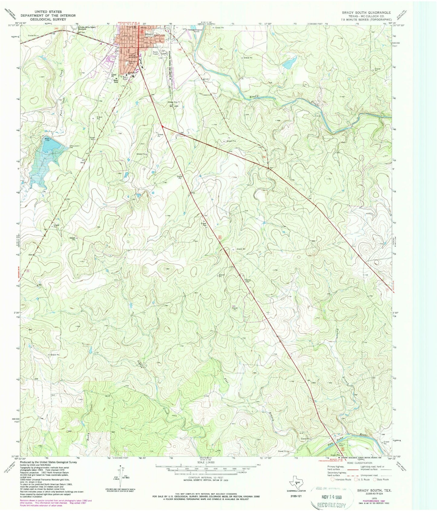
Classic USGS Brady South Texas 7.5'x7.5' Topo Map
Couldn't load pickup availability
Historical USGS topographic quad map of Brady South in the state of Texas. Map scale may vary for some years, but is generally around 1:24,000. Print size is approximately 24" x 27"
This quadrangle is in the following counties: McCulloch.
The map contains contour lines, roads, rivers, towns, and lakes. Printed on high-quality waterproof paper with UV fade-resistant inks, and shipped rolled.
Contains the following named places: Brady Division, Brady Elementary School, Church of Christ, Flat Branch, Heart of Texas Healthcare System, Hudson Branch, KNEL-FM (Brady), Rollie G White Complex, Shropshire Lake, Shropshire Lake Dam, Soil Conservation Service Site 1 Dam, Soil Conservation Service Site 1 Reservoir, South China School, Stanburn Park