MyTopo
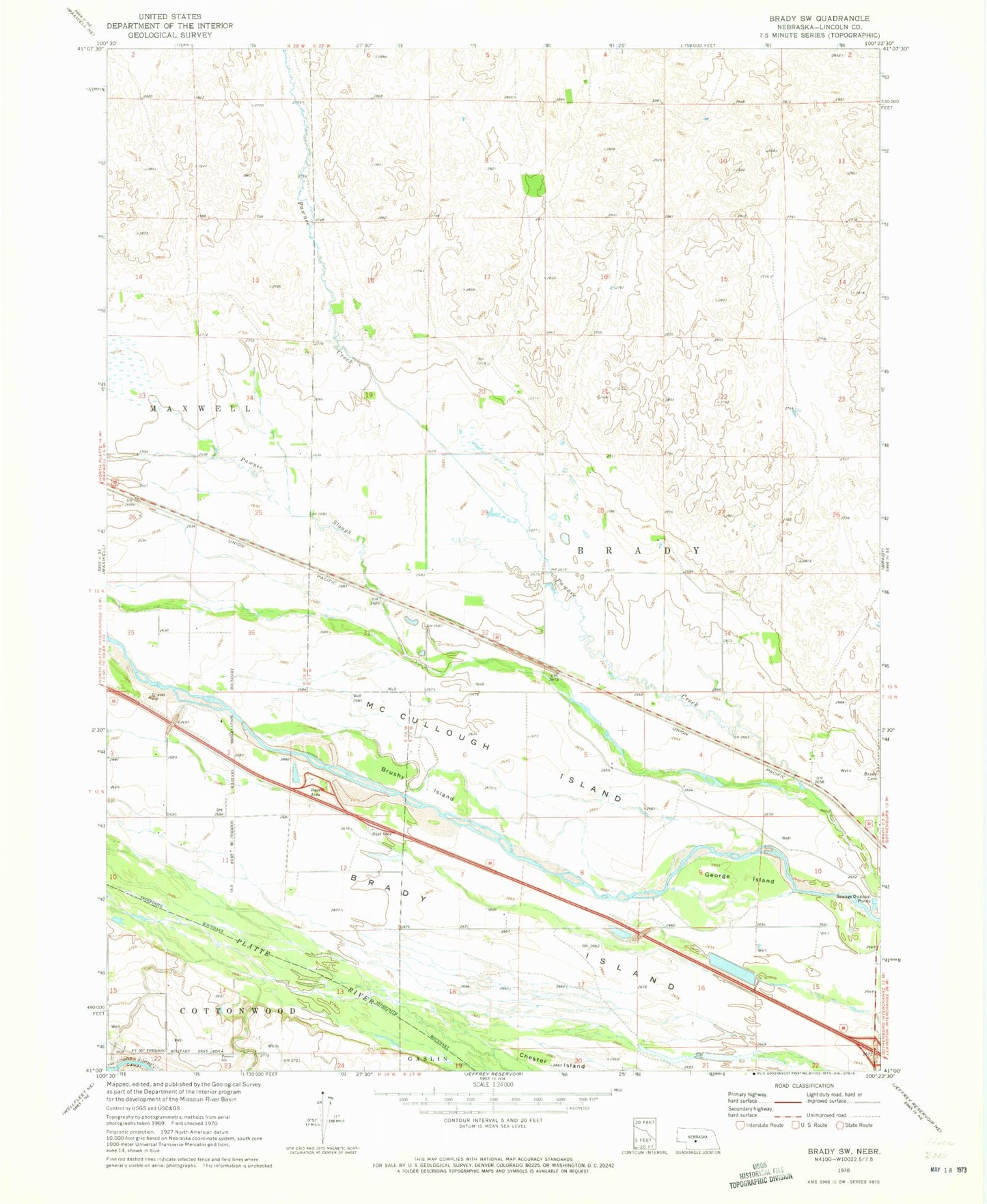
Classic USGS Brady SW Nebraska 7.5'x7.5' Topo Map
Couldn't load pickup availability
Historical USGS topographic quad map of Brady SW in the state of Nebraska. Map scale may vary for some years, but is generally around 1:24,000. Print size is approximately 24" x 27"
This quadrangle is in the following counties: Lincoln.
The map contains contour lines, roads, rivers, towns, and lakes. Printed on high-quality waterproof paper with UV fade-resistant inks, and shipped rolled.
Contains the following named places: Brady Cemetery, Brady Eastbound Travel Information Center, Brady Island, Brady Rest Area - Eastbound, Brady Rest Area - Westbound, Brushy Island, Earth Dam-Canal Mile 148 Dam, Fort McPherson and North Platte Historical Marker, George Island, Hindrey, Machettes, Maxwell Election Precinct, McCullough Island, Nebraska Gateway Sculpture, Pawnee Slough, Road Ranches along the Platte Historical Marker, West Brady State Wildlife Management Area, ZIP Code: 69151